Estimated Value: $154,000 - $202,000
1
Bed
1
Bath
2,008
Sq Ft
$86/Sq Ft
Est. Value
About This Home
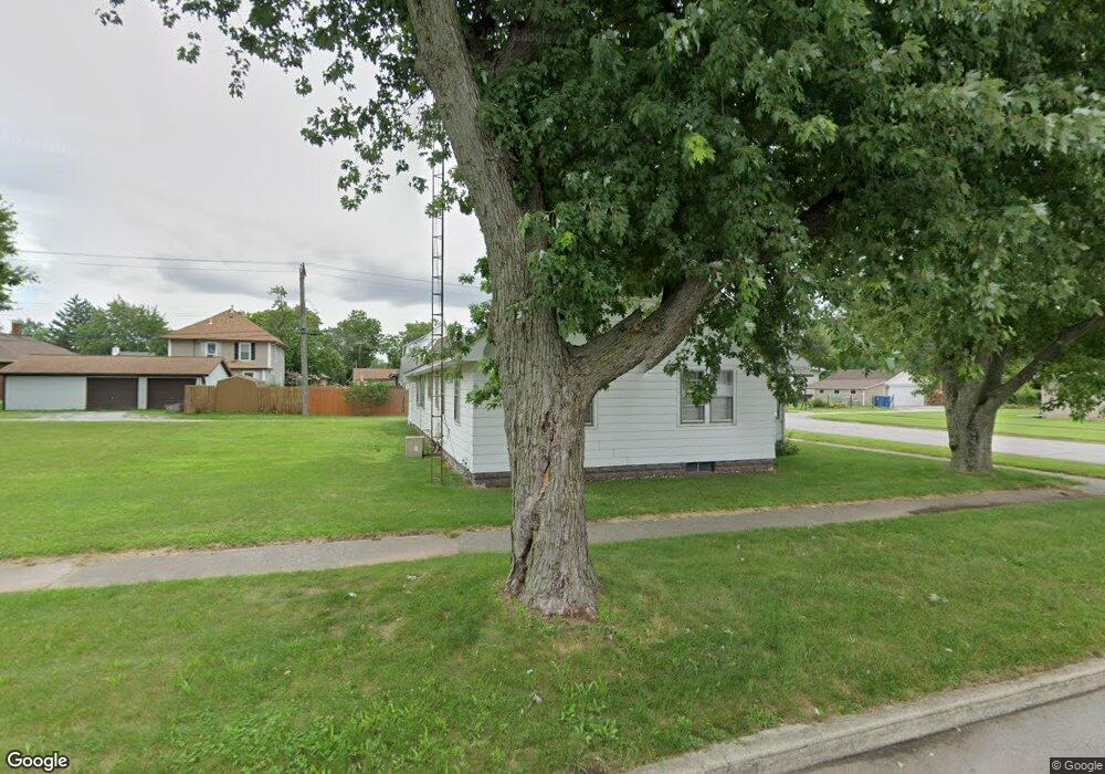
This home is located at 53 W Potter St, Knox, IN 46534 and is currently estimated at $171,980, approximately $85 per square foot. 53 W Potter St is a home located in Starke County with nearby schools including Knox Community Elementary School, Knox Community Middle School, and Knox Community High School.
Ownership History
Date
Name
Owned For
Owner Type
Purchase Details
Closed on
Jan 10, 2014
Sold by
Wakefield Anna M
Bought by
Bennett William Kirk and Bennett Dolores M
Current Estimated Value
Purchase Details
Closed on
Jan 14, 2011
Sold by
Moroni Gladys R
Bought by
Wakefield Ann M and Moroni Richard Guy
Create a Home Valuation Report for This Property
The Home Valuation Report is an in-depth analysis detailing your home's value as well as a comparison with similar homes in the area
Home Values in the Area
Average Home Value in this Area
Purchase History
| Date | Buyer | Sale Price | Title Company |
|---|---|---|---|
| Bennett William Kirk | -- | Mckesson Title Corp | |
| Wakefield Anna M | -- | Mckesson Title Corp | |
| Wakefield Ann M | -- | None Available |
Source: Public Records
Tax History Compared to Growth
Tax History
| Year | Tax Paid | Tax Assessment Tax Assessment Total Assessment is a certain percentage of the fair market value that is determined by local assessors to be the total taxable value of land and additions on the property. | Land | Improvement |
|---|---|---|---|---|
| 2024 | $2,217 | $109,500 | $12,200 | $97,300 |
| 2023 | $2,009 | $99,100 | $11,100 | $88,000 |
| 2022 | $1,758 | $87,900 | $10,800 | $77,100 |
| 2021 | $1,488 | $74,400 | $10,700 | $63,700 |
| 2020 | $1,379 | $67,600 | $10,700 | $56,900 |
| 2019 | $1,323 | $65,000 | $10,300 | $54,700 |
| 2018 | $1,329 | $65,300 | $11,800 | $53,500 |
| 2017 | $1,311 | $64,400 | $11,800 | $52,600 |
| 2016 | $1,307 | $64,200 | $11,800 | $52,400 |
| 2014 | $1,300 | $64,900 | $11,800 | $53,100 |
| 2013 | $1,304 | $65,100 | $11,800 | $53,300 |
Source: Public Records
Map
Nearby Homes
- 605 S Main St
- 701 S Shield St
- 703 S Main St
- 601 S Heaton St
- 503 S Heaton St
- 1675 U S 35
- 905 S Pearl St
- 302 S Main St
- 4152 S State Road 35
- 305 W New York St
- 625 S East St
- 105 S Bower St
- 501 W John St
- 203 W Lake St
- 14.89 Acres W Culver Rd
- 207 W Lake St
- 303 E Lake St
- 705 E Saint Louis St
- 425 Cannon Dr
- 0 Pine St & Cannon Dr-Ne Corner
- 604 S Shield St
- 101 W Potter St
- 607 S Main St
- 702 S Shield St
- 52 W Saint Louis St
- 52 W Street Louis St
- 603 S Shield St
- 605 S Shield St
- 102 W Street Louis St
- 102 W Saint Louis St
- 701 S Main St
- 601 S Main St
- 104 W Saint Louis St
- 104 W St Louis
- 703 S Shield St
- 702 S Main St
- 507 S Main St
- 608 S Main St
- 606 S Main St
- 602 S Main St