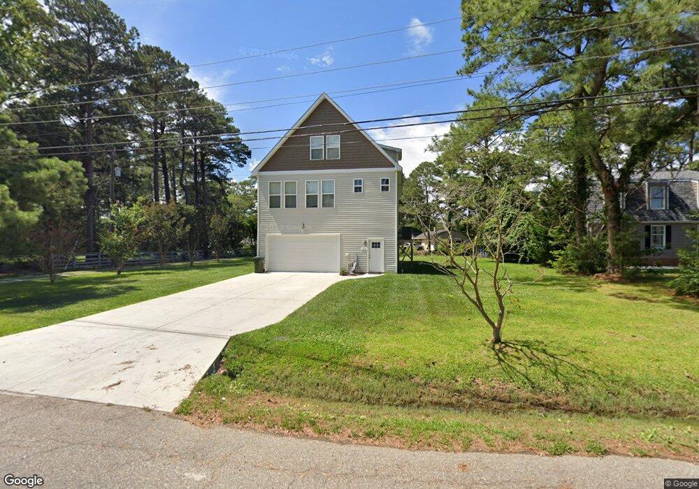
53 W Sandy Point Rd Poquoson, VA 23662
Poquoson Shores NeighborhoodEstimated Value: $416,000 - $593,000
3
Beds
3
Baths
2,059
Sq Ft
$256/Sq Ft
Est. Value
About This Home
This home is located at 53 W Sandy Point Rd, Poquoson, VA 23662 and is currently estimated at $527,541, approximately $256 per square foot. 53 W Sandy Point Rd is a home located in Poquoson City with nearby schools including Emmanuel Lutheran School and Summit Christian Academy - Upper School.
Ownership History
Date
Name
Owned For
Owner Type
Purchase Details
Closed on
Sep 10, 2021
Sold by
Brd Builders Llc
Bought by
Hutchison Brittany C and Stone Michael Tyler
Current Estimated Value
Home Financials for this Owner
Home Financials are based on the most recent Mortgage that was taken out on this home.
Original Mortgage
$295,583
Outstanding Balance
$268,557
Interest Rate
2.7%
Mortgage Type
New Conventional
Estimated Equity
$258,984
Purchase Details
Closed on
Aug 5, 2020
Sold by
Schempf Bryan H and Schempf Marilyn V
Bought by
Brd Builders Llc
Create a Home Valuation Report for This Property
The Home Valuation Report is an in-depth analysis detailing your home's value as well as a comparison with similar homes in the area
Home Values in the Area
Average Home Value in this Area
Purchase History
| Date | Buyer | Sale Price | Title Company |
|---|---|---|---|
| Hutchison Brittany C | $350,000 | Attorney | |
| Brd Builders Llc | $130,000 | Attorney |
Source: Public Records
Mortgage History
| Date | Status | Borrower | Loan Amount |
|---|---|---|---|
| Open | Hutchison Brittany C | $295,583 |
Source: Public Records
Tax History Compared to Growth
Tax History
| Year | Tax Paid | Tax Assessment Tax Assessment Total Assessment is a certain percentage of the fair market value that is determined by local assessors to be the total taxable value of land and additions on the property. | Land | Improvement |
|---|---|---|---|---|
| 2024 | $5,227 | $458,500 | $150,100 | $308,400 |
| 2023 | $4,734 | $426,500 | $150,100 | $276,400 |
| 2022 | $4,332 | $383,400 | $150,100 | $233,300 |
| 2021 | $1,750 | $154,900 | $150,100 | $4,800 |
| 2020 | $0 | $154,900 | $150,100 | $4,800 |
| 2019 | -- | $154,900 | $150,100 | $4,800 |
| 2018 | -- | $189,500 | $184,700 | $4,800 |
| 2017 | -- | $189,500 | $184,700 | $4,800 |
| 2016 | -- | $189,500 | $184,700 | $4,800 |
| 2015 | -- | $189,500 | $184,700 | $4,800 |
| 2013 | -- | $189,500 | $184,700 | $4,800 |
Source: Public Records
Map
Nearby Homes
- 41 W Sandy Point Rd
- 15+AC Browns Neck Rd
- 1 Phillips Rd
- 28 Pasture Rd
- 35 River Rd
- 29 River Rd
- 8 Wornom Farm Rd
- 105 Rens Rd Unit 30
- 105 Rens Rd Unit 2
- 105 Rens Rd Unit 74
- 105 Rens Rd Unit Lot 48
- 11 Valmoore Dr
- 102 Blue Crab Dr
- 108 Rens Rd
- 6 Lessies Dr
- 11 Dorothy Dr
- 62 Rens Rd
- 21 Rens Rd
- 40 Valmoore Dr
- 718C Poquoson Ave
- 59 W Sandy Point Rd
- 59 W Sandy Point Rd
- 8 W Sandy Point Rd
- 10 W Sandy Point Rd
- 6 W Sandy Point Rd
- 61 W Sandy Point Rd
- 12 W Sandy Point Rd
- 47 W Sandy Point Rd
- 14 W Sandy Point Rd
- 4 W Sandy Point Rd
- 57 W Sandy Point Rd
- 87 Browns Neck Rd
- 85 Browns Neck Rd
- 89 Browns Neck Rd
- 6 E Sandy Point Rd
- 4 E Sandy Point Rd
- 83 Browns Neck Rd
- 8 E Sandy Point Rd
- 10 Ebb Tide Landing
- 91 Browns Neck Rd