53 White River Way Shinnston, WV 26431
Estimated Value: $136,000 - $147,167
3
Beds
1
Bath
1,100
Sq Ft
$131/Sq Ft
Est. Value
About This Home
This home is located at 53 White River Way, Shinnston, WV 26431 and is currently estimated at $143,792, approximately $130 per square foot. 53 White River Way is a home.
Ownership History
Date
Name
Owned For
Owner Type
Purchase Details
Closed on
Nov 21, 2017
Sold by
Raad John R
Bought by
Raad Kathleen M
Current Estimated Value
Purchase Details
Closed on
Apr 9, 2014
Sold by
Payton Shirley A
Bought by
Raad John P and Raad Kathleen M
Home Financials for this Owner
Home Financials are based on the most recent Mortgage that was taken out on this home.
Original Mortgage
$40,000
Outstanding Balance
$11,447
Interest Rate
3.34%
Mortgage Type
New Conventional
Estimated Equity
$132,345
Create a Home Valuation Report for This Property
The Home Valuation Report is an in-depth analysis detailing your home's value as well as a comparison with similar homes in the area
Home Values in the Area
Average Home Value in this Area
Purchase History
| Date | Buyer | Sale Price | Title Company |
|---|---|---|---|
| Raad Kathleen M | -- | -- | |
| Raad John P | $50,000 | None Available |
Source: Public Records
Mortgage History
| Date | Status | Borrower | Loan Amount |
|---|---|---|---|
| Open | Raad John P | $40,000 |
Source: Public Records
Tax History Compared to Growth
Tax History
| Year | Tax Paid | Tax Assessment Tax Assessment Total Assessment is a certain percentage of the fair market value that is determined by local assessors to be the total taxable value of land and additions on the property. | Land | Improvement |
|---|---|---|---|---|
| 2024 | $662 | $56,880 | $13,380 | $43,500 |
| 2023 | $652 | $53,280 | $13,380 | $39,900 |
| 2022 | $623 | $52,860 | $12,660 | $40,200 |
| 2021 | $616 | $52,860 | $12,660 | $40,200 |
| 2020 | $596 | $51,660 | $12,000 | $39,660 |
| 2019 | $494 | $42,780 | $12,000 | $30,780 |
| 2018 | $493 | $42,960 | $12,000 | $30,960 |
| 2017 | $437 | $38,220 | $11,640 | $26,580 |
| 2016 | $421 | $37,320 | $11,280 | $26,040 |
| 2015 | $414 | $36,420 | $10,620 | $25,800 |
| 2014 | $403 | $35,520 | $9,600 | $25,920 |
Source: Public Records
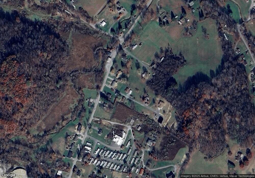
Map
Nearby Homes
- 6490 Benedum Dr
- 956 Middletown Rd
- 1328 County Route 1 4
- 222 Crimson Ln
- 7314 Scottsdale Rd
- 7317 Scottsdale Rd
- 55a Victorian Dr
- 2011 Adamsville Rd
- 1756 Corbin Branch Rd
- 560 Miners Way
- 993 Corbin Branch Rd
- 211 Berkshire Cir
- 55 Barrington Ct
- 114 Barrington Ct
- 2258 Middleville Rd
- 40 Barrington Ct
- 1955 Owings Rd
- 625 Sapps Run Rd
- 1121 Deerfield Dr
- 1127 Deerfield Dr