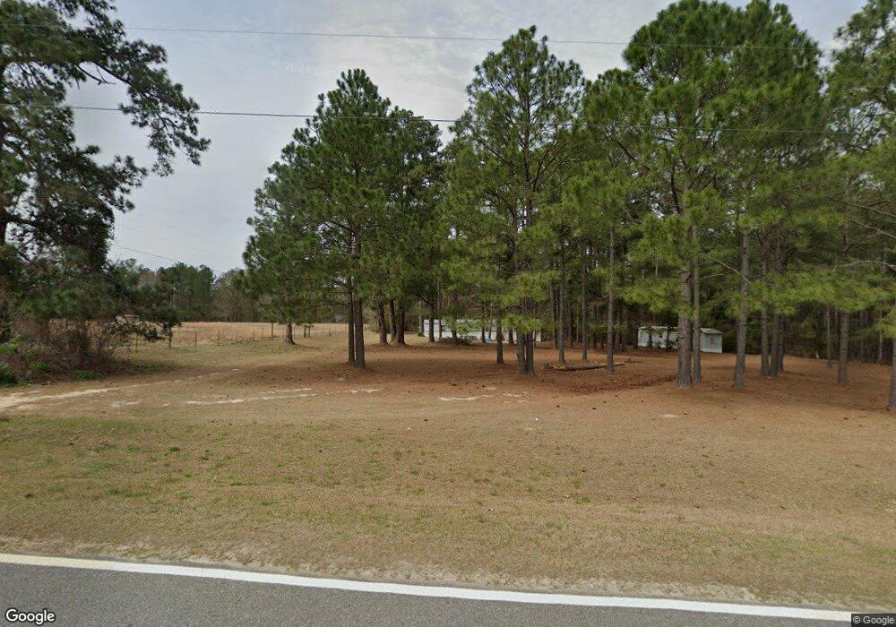
53 Wilson Woodard Rd Eastman, GA 31023
Estimated Value: $76,688 - $128,000
--
Bed
2
Baths
2,376
Sq Ft
$46/Sq Ft
Est. Value
About This Home
This home is located at 53 Wilson Woodard Rd, Eastman, GA 31023 and is currently estimated at $108,229, approximately $45 per square foot. 53 Wilson Woodard Rd is a home located in Dodge County with nearby schools including Dodge County High School.
Ownership History
Date
Name
Owned For
Owner Type
Purchase Details
Closed on
May 13, 2021
Sold by
Jones Larry
Bought by
Jones Rebecca M and Jones Larime T
Current Estimated Value
Purchase Details
Closed on
Dec 31, 1999
Sold by
Bank Of Eastman
Bought by
Jones Larry B and Jones Gail
Purchase Details
Closed on
Dec 1, 1998
Sold by
Roland Betty Ann
Bought by
Bank Of Eastman
Purchase Details
Closed on
Sep 28, 1995
Bought by
Roland Betty Ann
Purchase Details
Closed on
Aug 22, 1995
Bought by
B & J Adams Roofing
Create a Home Valuation Report for This Property
The Home Valuation Report is an in-depth analysis detailing your home's value as well as a comparison with similar homes in the area
Home Values in the Area
Average Home Value in this Area
Purchase History
| Date | Buyer | Sale Price | Title Company |
|---|---|---|---|
| Jones Rebecca M | -- | -- | |
| Jones Larry B | $20,000 | -- | |
| Bank Of Eastman | -- | -- | |
| Roland Betty Ann | $22,000 | -- | |
| Tripp Guy J | -- | -- | |
| B & J Adams Roofing | $46,000 | -- |
Source: Public Records
Tax History Compared to Growth
Tax History
| Year | Tax Paid | Tax Assessment Tax Assessment Total Assessment is a certain percentage of the fair market value that is determined by local assessors to be the total taxable value of land and additions on the property. | Land | Improvement |
|---|---|---|---|---|
| 2025 | $514 | $22,773 | $1,534 | $21,239 |
| 2024 | $437 | $18,790 | $1,534 | $17,256 |
| 2023 | $489 | $18,790 | $1,534 | $17,256 |
| 2022 | $467 | $18,145 | $1,534 | $16,611 |
| 2021 | $494 | $19,144 | $1,534 | $17,610 |
| 2020 | $427 | $19,144 | $1,534 | $17,610 |
| 2019 | $533 | $20,088 | $1,534 | $18,554 |
| 2018 | $513 | $20,088 | $1,534 | $18,554 |
| 2017 | $513 | $20,088 | $1,534 | $18,554 |
| 2016 | $630 | $24,657 | $1,534 | $23,123 |
| 2015 | -- | $24,657 | $1,534 | $23,123 |
| 2014 | -- | $2,542 | $0 | $2,542 |
Source: Public Records
Map
Nearby Homes
- 238 Wilson Woodard Rd
- 1805 Bell Line Rd
- 0 Bethel Church Rd Unit 10601037
- 115 Log Cabin Rd
- 3557 Antioch Church Rd
- 140 Antioch Church Rd
- 251 Bill Hambrick Rd
- 6419 Cochran Hwy
- 0 Cheek Rd
- PARCEL A Wiggum Rd & St James Rd
- 596 Ga Highway 257
- 983 Cochran Hwy
- 94 24th Ave
- 172 Old Eastman Rd
- 5611 Cottondale Ave
- 1227 Hawkinsville Hwy
- LOT 46 Woodland Trail Rd
- LOT 47 Woodland Trail Rd
- LOT 24 Woodland Trail Rd
- 0 Woodland Trail Rd Unit 12994880
- 71 Wilson Woodard Rd
- 2 Gresston St
- 10 Gresston St
- 1209 Fm Braswell Rd
- 4000 Cochran Hwy
- 4010 Cochran Hwy
- 3698 Cochran Hwy
- 1171 Fm Braswell Rd
- 3952 Cochran Hwy
- 141 Wilson Woodard Rd
- 4037 Cochran Hwy
- 1428 Gresston Baptist Rd
- 3942 Cochran Hwy
- 126 Warehouse Dr
- 1444 Garrett Oxley Rd
- 3928 Cochran Hwy
- 205 Wilson Woodard Rd
- 3939 Cochran Hwy
- 138 Warehouse Dr
- 78 Gresston St
