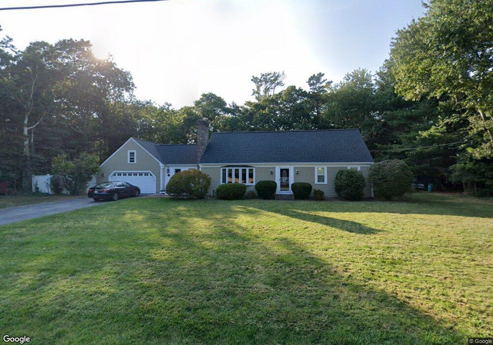
53 Windlass Ln Centerville, MA 02632
Centerville NeighborhoodEstimated Value: $725,821 - $767,000
5
Beds
3
Baths
2,201
Sq Ft
$340/Sq Ft
Est. Value
About This Home
This home is located at 53 Windlass Ln, Centerville, MA 02632 and is currently estimated at $749,205, approximately $340 per square foot. 53 Windlass Ln is a home located in Barnstable County with nearby schools including Centerville Elementary School, Barnstable United Elementary School, and Barnstable Intermediate School.
Ownership History
Date
Name
Owned For
Owner Type
Purchase Details
Closed on
Feb 14, 2002
Sold by
Otoole Thomas H and Otoole Diane A
Bought by
Cattabriga Brian M
Current Estimated Value
Home Financials for this Owner
Home Financials are based on the most recent Mortgage that was taken out on this home.
Original Mortgage
$255,000
Interest Rate
7.14%
Mortgage Type
Purchase Money Mortgage
Purchase Details
Closed on
May 31, 1994
Sold by
Gladding Shirley V
Bought by
Otoole Thomas H
Create a Home Valuation Report for This Property
The Home Valuation Report is an in-depth analysis detailing your home's value as well as a comparison with similar homes in the area
Home Values in the Area
Average Home Value in this Area
Purchase History
| Date | Buyer | Sale Price | Title Company |
|---|---|---|---|
| Cattabriga Brian M | $320,000 | -- | |
| Otoole Thomas H | $144,000 | -- |
Source: Public Records
Mortgage History
| Date | Status | Borrower | Loan Amount |
|---|---|---|---|
| Open | Otoole Thomas H | $269,500 | |
| Closed | Otoole Thomas H | $256,700 | |
| Closed | Otoole Thomas H | $255,000 |
Source: Public Records
Tax History
| Year | Tax Paid | Tax Assessment Tax Assessment Total Assessment is a certain percentage of the fair market value that is determined by local assessors to be the total taxable value of land and additions on the property. | Land | Improvement |
|---|---|---|---|---|
| 2025 | $5,332 | $659,100 | $152,200 | $506,900 |
| 2024 | $4,940 | $632,500 | $152,200 | $480,300 |
| 2023 | $4,714 | $565,200 | $138,400 | $426,800 |
| 2022 | $4,498 | $466,600 | $102,500 | $364,100 |
| 2021 | $2,535 | $418,000 | $102,500 | $315,500 |
| 2020 | $4,383 | $399,900 | $102,500 | $297,400 |
| 2019 | $4,142 | $367,200 | $102,500 | $264,700 |
| 2018 | $3,776 | $336,500 | $107,900 | $228,600 |
| 2017 | $3,505 | $325,700 | $107,900 | $217,800 |
| 2016 | $3,559 | $326,500 | $108,700 | $217,800 |
| 2015 | $3,547 | $326,900 | $105,400 | $221,500 |
Source: Public Records
Map
Nearby Homes
- 900 Old Stage Rd
- 296 Buckskin Path
- 62 Three Ponds Dr
- 66 Tern Ln
- 324 Patriot Way
- 315 Prince Hinckley Rd
- 82 Yacht Club Rd
- 87 Foxglove Rd
- 1044 Old Falmouth Rd
- 1028 Old Falmouth Rd
- 19 Marrick Ct
- 74 Saddler Ln
- 51 Larch Ln
- 481 Lakeside Dr W
- 357 Lakeside Dr W
- 83 Lake Dr
- 53 Meadow Farm Rd
- 52 Meadow Farm Rd
- 80 Branch Terrace
- 40 Sachem Dr
- 71 Windlass Ln
- 39 Windlass Ln
- 52 Windlass Ln
- 62 Capn Lijahs Rd
- 62 Captain Lijahs Rd
- 84 Cap'N Lijah's Rd
- 84 Captain Lijahs Rd
- 74 Captain Lijah's Rd
- 84 Capn Lijahs Rd
- 54 Capn Lijahs Rd
- 40 Windlass Ln
- 54 Cap'N Lijah's Rd
- 74 Capn Lijahs Rd
- 90 Capn Lijahs Rd
- 44 Capn Lijahs Rd
- 112 Rolling Hitch Rd
- 75 Windlass Ln
- 84 Rolling Hitch Rd
- 27 Windlass Ln
- 20 Windlass Ln
Your Personal Tour Guide
Ask me questions while you tour the home.