53 Wing Rd Eustis, ME 04936
Estimated Value: $209,035 - $372,000
Studio
--
Bath
--
Sq Ft
24,829
Sq Ft Lot
About This Home
This home is located at 53 Wing Rd, Eustis, ME 04936 and is currently estimated at $283,759. 53 Wing Rd is a home with nearby schools including Stratton Elementary School.
Create a Home Valuation Report for This Property
The Home Valuation Report is an in-depth analysis detailing your home's value as well as a comparison with similar homes in the area
Tax History
| Year | Tax Paid | Tax Assessment Tax Assessment Total Assessment is a certain percentage of the fair market value that is determined by local assessors to be the total taxable value of land and additions on the property. | Land | Improvement |
|---|---|---|---|---|
| 2024 | $1,264 | $144,500 | $65,100 | $79,400 |
| 2023 | $1,256 | $140,300 | $57,600 | $82,700 |
| 2022 | $1,124 | $118,300 | $57,600 | $60,700 |
| 2021 | $1,226 | $95,000 | $47,800 | $47,200 |
| 2020 | $1,194 | $95,500 | $47,800 | $47,700 |
| 2019 | $1,158 | $95,700 | $47,800 | $47,900 |
| 2018 | $1,260 | $96,200 | $47,800 | $48,400 |
| 2017 | $1,257 | $96,700 | $47,800 | $48,900 |
| 2016 | $1,237 | $96,900 | $47,800 | $49,100 |
| 2015 | $1,299 | $98,400 | $48,900 | $49,500 |
| 2014 | $1,087 | $98,800 | $48,900 | $49,900 |
| 2009 | -- | $97,900 | $43,700 | $54,200 |
Source: Public Records
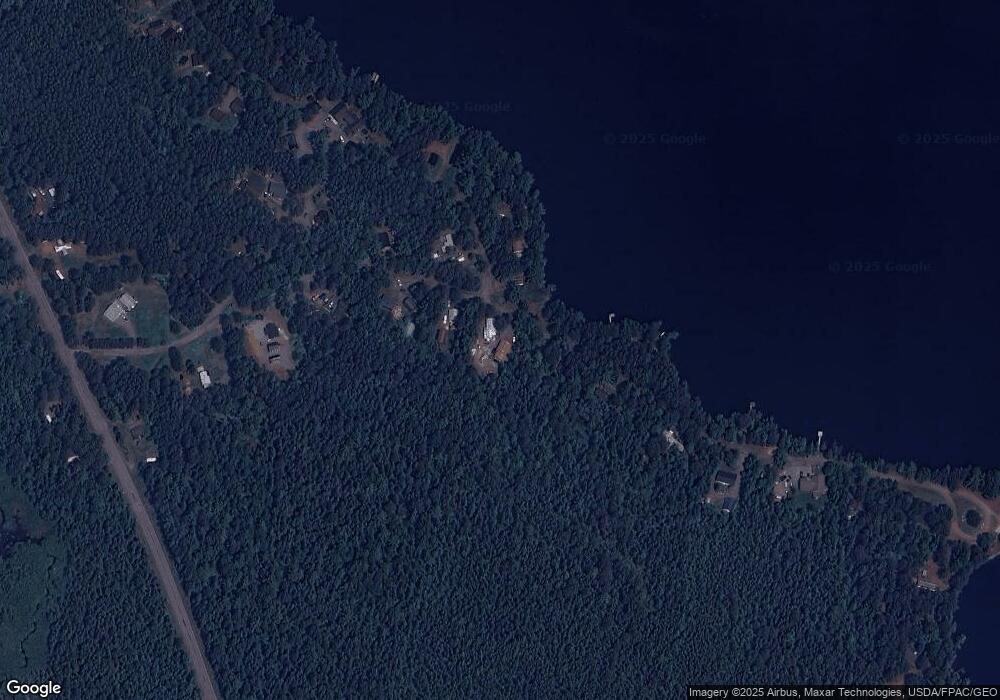
Map
Nearby Homes
- 81 B Red Pine Ln
- 27 Peabody Rd
- 60&66 Gravel Pit Rd
- 6-01 Eustis Ridge Rd
- 9 Tranquility Ln
- 186 Main St
- 484 Eustis Ridge Rd
- 233 Porter Nadeau Rd
- 54 Eustis Village Rd
- 59 Eustis Village Rd
- 95-4 Lot D Porter Nadeau Rd
- 118 Glidden Rd
- 1480 Arnold Trail
- 14 Dam Rd
- 12 Bog Rd
- 11 Porcupine Trail
- 27 Reed Rd
- 64 Ip Rd
- 42 Rabbit Hollow Rd
- 4004 Bigelow Station
Your Personal Tour Guide
Ask me questions while you tour the home.