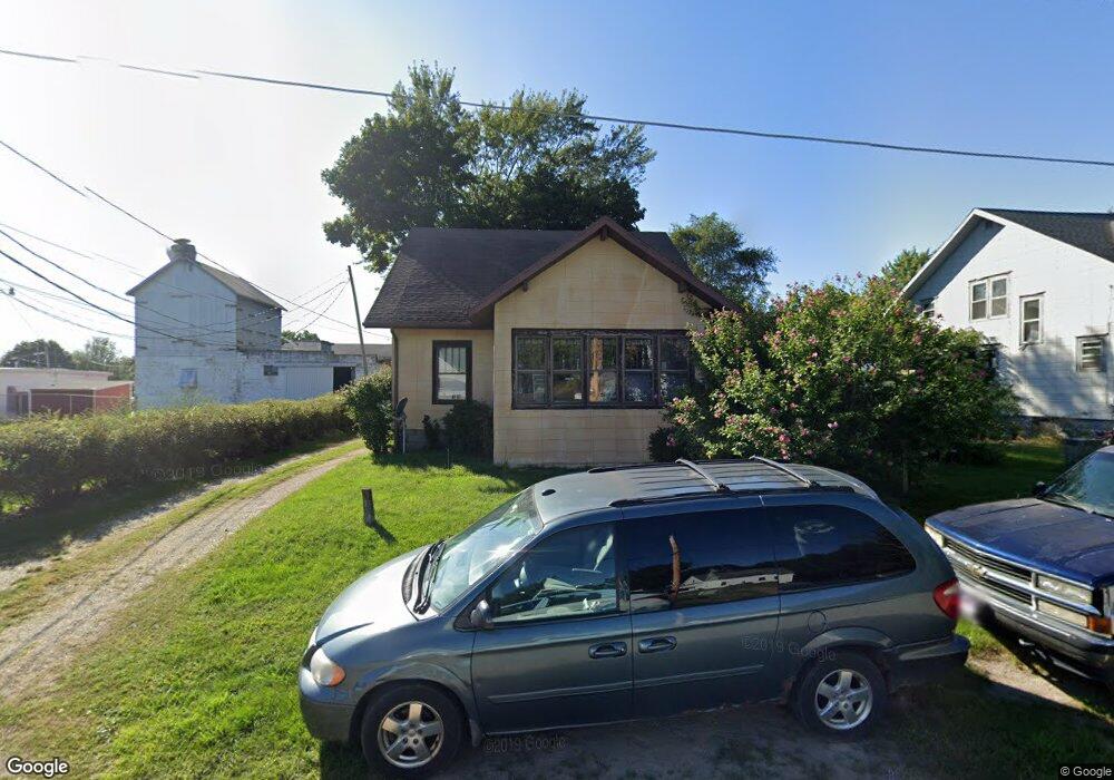
530 3rd St Benton Harbor, MI 49022
Millburg NeighborhoodEstimated Value: $146,699 - $193,000
--
Bed
--
Bath
1,284
Sq Ft
$133/Sq Ft
Est. Value
About This Home
This home is located at 530 3rd St, Benton Harbor, MI 49022 and is currently estimated at $170,675, approximately $132 per square foot. 530 3rd St is a home located in Berrien County with nearby schools including Fair Plain Middle School, Benton Harbor High School, and Grace Christian School.
Ownership History
Date
Name
Owned For
Owner Type
Purchase Details
Closed on
Jun 17, 2024
Sold by
Berry Dana H
Bought by
Berrien County Treasurer
Current Estimated Value
Purchase Details
Closed on
Jun 13, 2023
Sold by
Berry Dana H and Berry Pamela K
Bought by
Berrien County Treasurer
Purchase Details
Closed on
Aug 6, 2015
Sold by
Berrien County
Bought by
Berry Dana H and Berry Pamela K
Purchase Details
Closed on
Oct 12, 1993
Purchase Details
Closed on
Sep 29, 1993
Purchase Details
Closed on
Sep 25, 1993
Purchase Details
Closed on
Apr 17, 1985
Purchase Details
Closed on
Feb 10, 1984
Create a Home Valuation Report for This Property
The Home Valuation Report is an in-depth analysis detailing your home's value as well as a comparison with similar homes in the area
Home Values in the Area
Average Home Value in this Area
Purchase History
| Date | Buyer | Sale Price | Title Company |
|---|---|---|---|
| Berrien County Treasurer | -- | -- | |
| Berrien County Treasurer | -- | -- | |
| Berry Dana H | $10,500 | Attorney | |
| -- | -- | -- | |
| -- | $34,000 | -- | |
| -- | -- | -- | |
| -- | $100 | -- | |
| -- | $12,500 | -- |
Source: Public Records
Tax History Compared to Growth
Tax History
| Year | Tax Paid | Tax Assessment Tax Assessment Total Assessment is a certain percentage of the fair market value that is determined by local assessors to be the total taxable value of land and additions on the property. | Land | Improvement |
|---|---|---|---|---|
| 2025 | $1,792 | $72,300 | $0 | $0 |
| 2024 | $962 | $68,000 | $0 | $0 |
| 2023 | $916 | $63,600 | $0 | $0 |
| 2022 | $873 | $59,600 | $0 | $0 |
| 2021 | $1,577 | $54,400 | $1,700 | $52,700 |
| 2020 | $1,556 | $58,000 | $0 | $0 |
| 2019 | $1,527 | $50,100 | $1,200 | $48,900 |
| 2018 | $1,478 | $50,100 | $0 | $0 |
| 2017 | $1,462 | $47,400 | $0 | $0 |
| 2016 | $1,428 | $44,100 | $0 | $0 |
| 2015 | $837 | $42,700 | $0 | $0 |
| 2014 | $430 | $40,700 | $0 | $0 |
Source: Public Records
Map
Nearby Homes
- 00 Stratton Lot 6 Rd
- 5253 Territorial Rd
- 4262 Arrow Wood Curve
- 4520 Ross Dr
- 4540 Ross Dr
- 5310 N Branch Rd
- 1287 Maner Rd
- 4172 Pine Wood Dr
- 5570 Territorial Rd
- 1370 N Park Rd
- 3547 N Blue Creek Rd
- 846 N Benton Center Rd
- 1360 Friday Rd
- 1192 N Benton Center Rd
- 1226 N Benton Center Rd
- 6808 Territorial Rd
- VL E Napier Ave
- 0 E Napier Ave
- 3436 Red Arrow Hwy
- 6660 Pine Rd