Estimated Value: $153,107 - $218,000
3
Beds
2
Baths
1,982
Sq Ft
$97/Sq Ft
Est. Value
About This Home
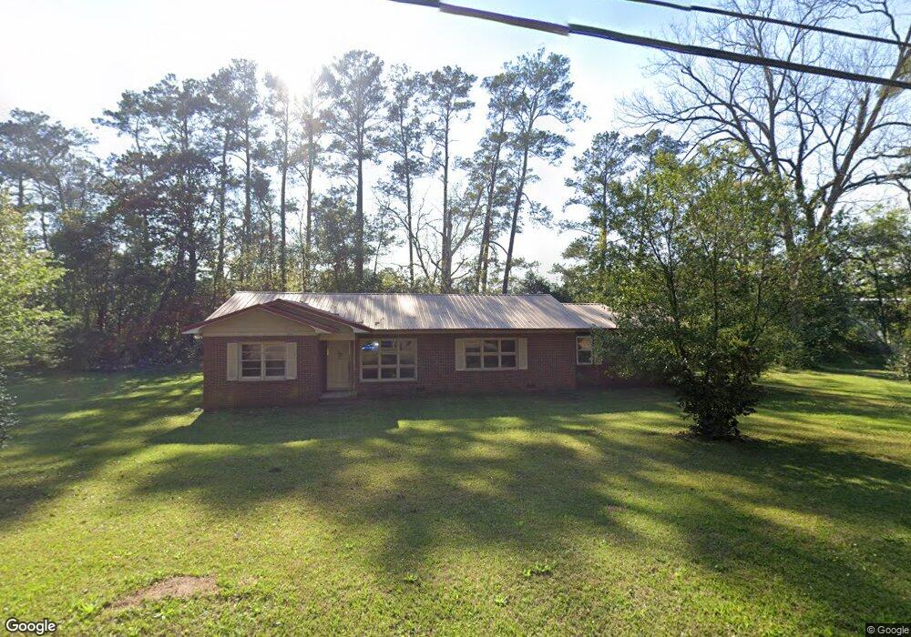
This home is located at 530 4th St SE, Cairo, GA 39828 and is currently estimated at $191,277, approximately $96 per square foot. 530 4th St SE is a home located in Grady County with nearby schools including Cairo High School.
Ownership History
Date
Name
Owned For
Owner Type
Purchase Details
Closed on
Jan 17, 2020
Sold by
H Cubed Holdings Llc
Bought by
Cruz Rudy
Current Estimated Value
Purchase Details
Closed on
Dec 10, 2019
Sold by
The Bank Of New York Mellon Trust Co
Bought by
H Cubed Holdings Llc
Purchase Details
Closed on
Mar 5, 2019
Sold by
Bryant Charles H
Bought by
The Bank Of New York Mellon Tr Co Nation
Purchase Details
Closed on
Nov 18, 2004
Bought by
Bryant Charles H
Purchase Details
Closed on
Mar 6, 1998
Sold by
Bryant Maxine L
Bought by
Bryant Charles H
Purchase Details
Closed on
Jun 26, 1987
Bought by
Bryant Maxine L
Create a Home Valuation Report for This Property
The Home Valuation Report is an in-depth analysis detailing your home's value as well as a comparison with similar homes in the area
Purchase History
| Date | Buyer | Sale Price | Title Company |
|---|---|---|---|
| Cruz Rudy | $40,000 | -- | |
| H Cubed Holdings Llc | $23,000 | -- | |
| The Bank Of New York Mellon Tr Co Nation | -- | -- | |
| Bryant Charles H | -- | -- | |
| Bryant Charles H | $34,000 | -- | |
| Bryant Maxine L | $34,000 | -- |
Source: Public Records
Tax History
| Year | Tax Paid | Tax Assessment Tax Assessment Total Assessment is a certain percentage of the fair market value that is determined by local assessors to be the total taxable value of land and additions on the property. | Land | Improvement |
|---|---|---|---|---|
| 2024 | $1,785 | $40,700 | $3,560 | $37,140 |
| 2023 | $1,061 | $28,667 | $9,187 | $19,480 |
| 2022 | $1,104 | $28,667 | $9,187 | $19,480 |
| 2021 | $1,107 | $28,667 | $9,187 | $19,480 |
| 2020 | $1,110 | $28,667 | $9,187 | $19,480 |
| 2019 | $1,047 | $28,667 | $9,187 | $19,480 |
| 2018 | $996 | $28,667 | $9,187 | $19,480 |
| 2017 | $959 | $28,667 | $9,187 | $19,480 |
| 2016 | $871 | $25,607 | $9,187 | $16,420 |
| 2015 | $862 | $25,607 | $9,187 | $16,420 |
| 2014 | $862 | $25,607 | $9,187 | $16,420 |
| 2013 | -- | $24,187 | $9,187 | $15,000 |
Source: Public Records
Map
Nearby Homes
- 580 5th St SE
- 530 6th Ave SE
- 309 3rd St SE
- 00 Blackberry Ln
- 00 Meridian Rd
- 00 Hwy 111 South Tract 1
- X 1st St
- 0 1st St
- 460 2nd St SW
- 1193 S Broad St
- 306 Midland Place
- 4761 Hadley Ferry Rd
- 530 6th St
- 711 2nd Ave NE
- 112 Pine Cir SW
- 117 SW Pine Cirlce
- 592 20th St SE
- 1405 Platt Ave
- 1406 Platt Ave
- 125 6th Ave NW
Your Personal Tour Guide
Ask me questions while you tour the home.