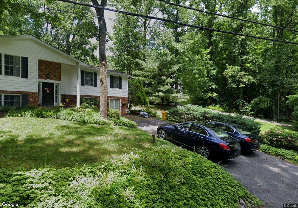
530 Arundel Blvd Crownsville, MD 21032
Estimated Value: $660,000 - $792,000
--
Bed
3
Baths
2,488
Sq Ft
$296/Sq Ft
Est. Value
About This Home
This home is located at 530 Arundel Blvd, Crownsville, MD 21032 and is currently estimated at $736,069, approximately $295 per square foot. 530 Arundel Blvd is a home located in Anne Arundel County with nearby schools including South Shore Elementary School, Old Mill High School, and Rockbridge Academy.
Ownership History
Date
Name
Owned For
Owner Type
Purchase Details
Closed on
Jan 12, 2012
Sold by
Lerch Catherine V and Lerch Robert E
Bought by
Lerch Robert E and Lerch Catherine
Current Estimated Value
Home Financials for this Owner
Home Financials are based on the most recent Mortgage that was taken out on this home.
Original Mortgage
$289,000
Outstanding Balance
$33,132
Interest Rate
3.94%
Mortgage Type
New Conventional
Estimated Equity
$702,937
Purchase Details
Closed on
Apr 11, 2003
Sold by
Bullen Craig H
Bought by
Lerch Catherine and Lerch Robert E
Purchase Details
Closed on
Jun 2, 1997
Sold by
Belle Grove Corp
Bought by
Bullen Craig H and Bullen Aimee Shaeffer
Create a Home Valuation Report for This Property
The Home Valuation Report is an in-depth analysis detailing your home's value as well as a comparison with similar homes in the area
Home Values in the Area
Average Home Value in this Area
Purchase History
| Date | Buyer | Sale Price | Title Company |
|---|---|---|---|
| Lerch Robert E | -- | None Available | |
| Lerch Catherine | $440,000 | -- | |
| Bullen Craig H | $90,000 | -- |
Source: Public Records
Mortgage History
| Date | Status | Borrower | Loan Amount |
|---|---|---|---|
| Open | Lerch Robert E | $289,000 | |
| Closed | Bullen Craig H | -- |
Source: Public Records
Tax History Compared to Growth
Tax History
| Year | Tax Paid | Tax Assessment Tax Assessment Total Assessment is a certain percentage of the fair market value that is determined by local assessors to be the total taxable value of land and additions on the property. | Land | Improvement |
|---|---|---|---|---|
| 2025 | $4,806 | $520,100 | $282,200 | $237,900 |
| 2024 | $4,806 | $489,467 | $0 | $0 |
| 2023 | $4,126 | $458,833 | $0 | $0 |
| 2022 | $4,341 | $428,200 | $252,200 | $176,000 |
| 2021 | $8,551 | $428,200 | $252,200 | $176,000 |
| 2020 | $4,171 | $428,200 | $252,200 | $176,000 |
| 2019 | $4,115 | $431,500 | $182,200 | $249,300 |
| 2018 | $4,312 | $425,267 | $0 | $0 |
| 2017 | $3,881 | $419,033 | $0 | $0 |
| 2016 | -- | $412,800 | $0 | $0 |
| 2015 | -- | $412,800 | $0 | $0 |
| 2014 | -- | $412,800 | $0 | $0 |
Source: Public Records
Map
Nearby Homes
- 975 Diggs Rd
- 938 Diggs Rd
- 0 Yew Trail Unit MDAA2121932
- 902 Hine Trail
- 872 Redwood Trail
- 359 Hall Rd
- 0 Herald Harbor Rd Unit MDAA2123892
- 478 Mountain Rd
- Lots 25 and 26 Redwood Trail
- Lots 27 and 28 Redwood Trail
- Lots 23 and 24 Redwood Trail
- 852 Birch Trail
- 0 Redwood Trail Unit MDAA2111808
- 0 Redwood Trail Unit MDAA2111804
- 0 Whitewood Trail
- 1603 Upton Scott Way
- 0 Old Herald Harbor Rd Unit MDAA2109542
- 0 Old Herald Harbor Rd Unit MDAA2115958
- 355 Kyle Rd
- 0 Elm Trail
- 532 Arundel Blvd
- 524 Arundel Blvd
- 536 Arundel Blvd
- 988 Round Bay Rd
- 535 Arundel Blvd
- 542 Palisades Blvd
- 546 Palisades Blvd
- 540 Palisades Blvd
- 985 Round Bay Rd
- 990 Round Bay Rd
- 548 Palisades Blvd
- 523 Arundel Blvd
- 987 Round Bay Rd
- 1010 Round Bay Rd
- 1006 Round Bay Rd
- 538 Palisades Blvd
- 989 Round Bay Rd
- 533 Arundel Blvd
- 550 Palisades Blvd
- 991 Round Bay Rd