530 Broad St Tallapoosa, GA 30176
Estimated Value: $279,835 - $433,000
4
Beds
3
Baths
2,212
Sq Ft
$157/Sq Ft
Est. Value
About This Home
This home is located at 530 Broad St, Tallapoosa, GA 30176 and is currently estimated at $347,209, approximately $156 per square foot. 530 Broad St is a home with nearby schools including Haralson County High School.
Ownership History
Date
Name
Owned For
Owner Type
Purchase Details
Closed on
Dec 22, 2017
Sold by
Bell William J
Bought by
Bell Shane T
Current Estimated Value
Purchase Details
Closed on
Jan 28, 1998
Sold by
Mcdonald Frances
Bought by
Bell William
Purchase Details
Closed on
Mar 21, 1989
Sold by
Mcdonald Frances
Bought by
Mcdonald Frances
Purchase Details
Closed on
Aug 1, 1982
Sold by
Ballew Clarence
Bought by
Mcdonald Frances
Create a Home Valuation Report for This Property
The Home Valuation Report is an in-depth analysis detailing your home's value as well as a comparison with similar homes in the area
Home Values in the Area
Average Home Value in this Area
Purchase History
| Date | Buyer | Sale Price | Title Company |
|---|---|---|---|
| Bell Shane T | -- | -- | |
| Bell William | $15,000 | -- | |
| Mcdonald Frances | $15,000 | -- | |
| Mcdonald Frances | -- | -- |
Source: Public Records
Tax History Compared to Growth
Tax History
| Year | Tax Paid | Tax Assessment Tax Assessment Total Assessment is a certain percentage of the fair market value that is determined by local assessors to be the total taxable value of land and additions on the property. | Land | Improvement |
|---|---|---|---|---|
| 2024 | $3,307 | $104,999 | $4,325 | $100,674 |
| 2023 | $1,758 | $67,830 | $4,080 | $63,750 |
| 2022 | $1,431 | $55,423 | $4,080 | $51,343 |
| 2021 | $1,574 | $52,134 | $4,080 | $48,054 |
| 2020 | $1,240 | $45,834 | $3,714 | $42,120 |
| 2019 | $1,286 | $45,834 | $3,714 | $42,120 |
| 2018 | $1,301 | $45,834 | $4,800 | $41,034 |
| 2017 | $1,533 | $41,630 | $4,800 | $36,830 |
| 2016 | $1,255 | $43,060 | $4,800 | $38,260 |
| 2015 | $1,236 | $42,174 | $4,800 | $37,375 |
| 2014 | $1,455 | $43,678 | $5,700 | $37,978 |
Source: Public Records
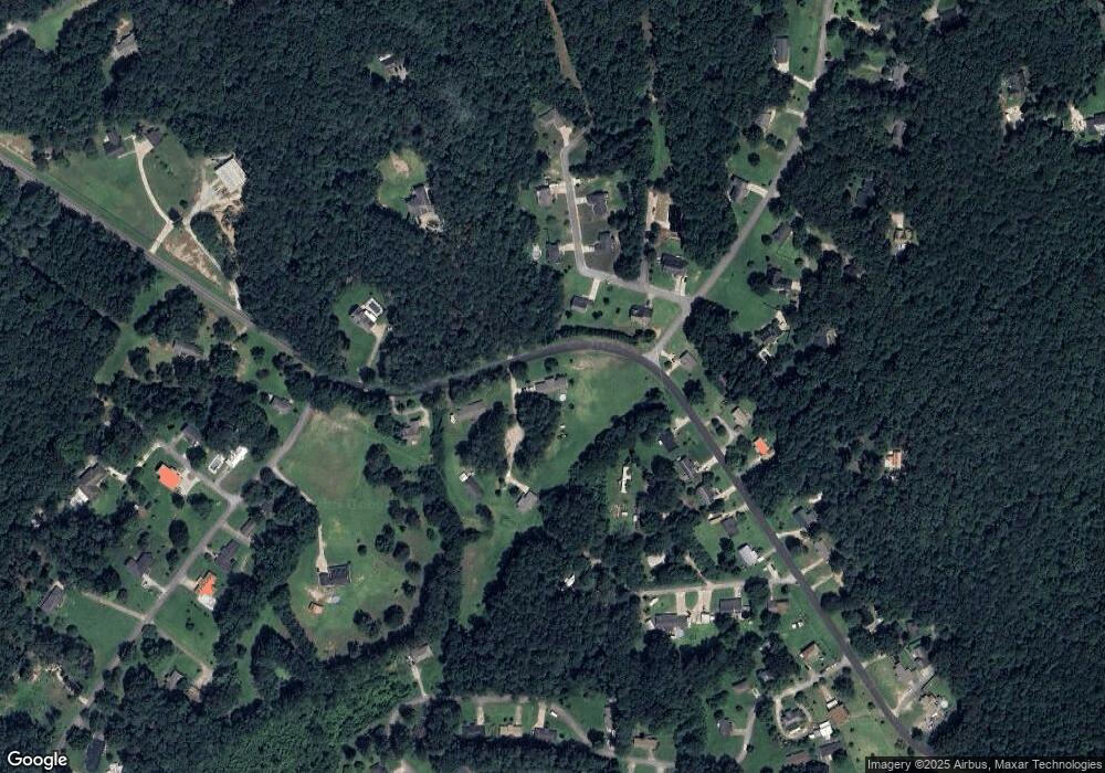
Map
Nearby Homes
- 28 McDonald Ridge
- 0 McDonald Ridge Unit 7691855
- 0 McDonald Ridge Unit 10656943
- 000 McDonald Ridge
- 00 McDonald Ridge
- 421 Broad St
- 75 McDonald Rd
- 110 Dunson Rd
- 194 Faye St
- 174 Faye St
- 200 Mohawk Dr
- 80 Broad St
- 622 Cedartown Ave
- 0 Creek Dr Unit 148038
- 0 Cherokee Dr Unit 148037
- 00 Bethany St
- 0 Bethany St Unit 10655598
- 397 Steadman Rd
- 3230 Steadman Rd Unit 265
- LOT 1 Steadman Rd