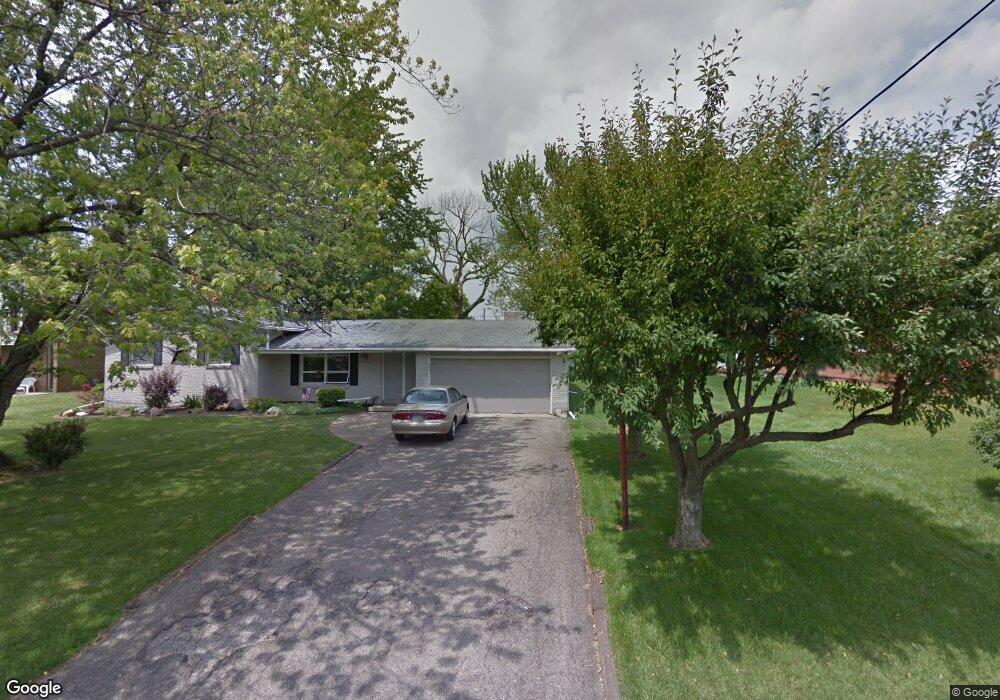
530 Clearview Rd Mansfield, OH 44907
Estimated Value: $225,000 - $241,000
3
Beds
2
Baths
2,164
Sq Ft
$107/Sq Ft
Est. Value
About This Home
This home is located at 530 Clearview Rd, Mansfield, OH 44907 and is currently estimated at $231,473, approximately $106 per square foot. 530 Clearview Rd is a home located in Richland County with nearby schools including Mansfield Christian School, Discovery School, and Mansfield Seventh-day Adventist School.
Ownership History
Date
Name
Owned For
Owner Type
Purchase Details
Closed on
Apr 9, 2025
Sold by
Armstrong Barry and Armstrong Debra Y
Bought by
Armstrong Barry and Armstrong Debra Y
Current Estimated Value
Purchase Details
Closed on
Mar 15, 2004
Sold by
Frasz Marie E and Frasz Tom
Bought by
Armstrong Barry
Home Financials for this Owner
Home Financials are based on the most recent Mortgage that was taken out on this home.
Original Mortgage
$80,000
Interest Rate
8.62%
Mortgage Type
Purchase Money Mortgage
Create a Home Valuation Report for This Property
The Home Valuation Report is an in-depth analysis detailing your home's value as well as a comparison with similar homes in the area
Home Values in the Area
Average Home Value in this Area
Purchase History
| Date | Buyer | Sale Price | Title Company |
|---|---|---|---|
| Armstrong Barry | -- | None Listed On Document | |
| Armstrong Barry | -- | None Listed On Document | |
| Armstrong Barry | $100,000 | Southern Title |
Source: Public Records
Mortgage History
| Date | Status | Borrower | Loan Amount |
|---|---|---|---|
| Previous Owner | Armstrong Barry | $80,000 |
Source: Public Records
Tax History Compared to Growth
Tax History
| Year | Tax Paid | Tax Assessment Tax Assessment Total Assessment is a certain percentage of the fair market value that is determined by local assessors to be the total taxable value of land and additions on the property. | Land | Improvement |
|---|---|---|---|---|
| 2024 | $2,588 | $52,930 | $9,910 | $43,020 |
| 2023 | $2,588 | $52,930 | $9,910 | $43,020 |
| 2022 | $2,149 | $37,830 | $7,880 | $29,950 |
| 2021 | $2,156 | $37,830 | $7,880 | $29,950 |
| 2020 | $2,158 | $37,830 | $7,880 | $29,950 |
| 2019 | $1,982 | $32,050 | $6,670 | $25,380 |
| 2018 | $1,687 | $32,050 | $6,670 | $25,380 |
| 2017 | $1,971 | $32,050 | $6,670 | $25,380 |
| 2016 | $2,273 | $42,800 | $8,360 | $34,440 |
| 2015 | $2,273 | $42,800 | $8,360 | $34,440 |
| 2014 | $2,272 | $42,800 | $8,360 | $34,440 |
| 2012 | $1,127 | $45,050 | $8,800 | $36,250 |
Source: Public Records
Map
Nearby Homes
- 625 Logan Rd
- 646 Kennedy Dr
- 680 Weller Ave
- 0 Lexington Ave Unit 224009661
- 1689 Middle Bellville Rd
- 1702 Middle Bellville Rd
- 755 Locust Ln
- 1179 Burkwood Rd
- 1740 Emerson Dr
- 1690 Riva Ridge Dr Unit 1690
- 0 Rippling Brook Dr
- 986 Woodland Rd
- 601 Karlson Dr
- 400 James Ave
- 615 Bailey Dr
- 810 Lexington Ave
- 589 Andover Rd
- 1790 Rippling Brook Dr
- 0 George Ave
- 763 York St W
- 540 Clearview Rd Unit 42
- 540-542 Clearview Rd
- 1312 Paul Blvd
- 487 Birchlawn Blvd
- 495 Birchlawn Blvd
- 503 Birchlawn Blvd Unit 511
- 554 Clearview Rd
- 1252 Knapp Rd
- 519 Birchlawn Blvd
- 0 Birchlawn Blvd
- 1263 Knapp Rd
- 1340 Paul Blvd
- 1253 Lehnhart Dr
- 562 Clearview Rd
- 473 Birchlawn Blvd
- 1327 Paul Blvd
- 527 Birchlawn Blvd
- 1262 Knapp Rd
- 1315 Paul Blvd
- 1337 Paul Blvd