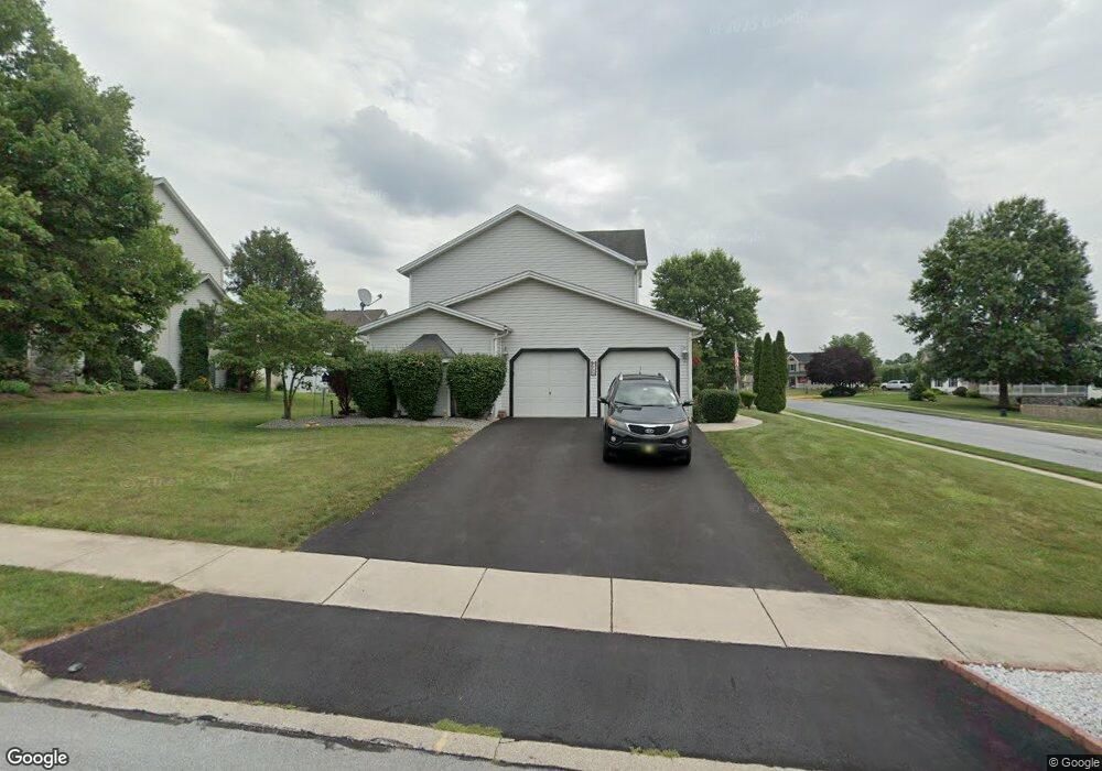
530 Colony Dr Middletown, PA 17057
Estimated Value: $449,913 - $460,000
4
Beds
3
Baths
2,315
Sq Ft
$197/Sq Ft
Est. Value
About This Home
This home is located at 530 Colony Dr, Middletown, PA 17057 and is currently estimated at $455,478, approximately $196 per square foot. 530 Colony Dr is a home located in Dauphin County with nearby schools including Middletown Area Middle School, Middletown Area High School, and Seven Sorrows of BVM School.
Ownership History
Date
Name
Owned For
Owner Type
Purchase Details
Closed on
Aug 19, 2011
Sold by
Harmantzis Andrew N
Bought by
Devaney Michael J
Current Estimated Value
Home Financials for this Owner
Home Financials are based on the most recent Mortgage that was taken out on this home.
Original Mortgage
$207,920
Outstanding Balance
$143,693
Interest Rate
4.53%
Mortgage Type
New Conventional
Estimated Equity
$311,785
Create a Home Valuation Report for This Property
The Home Valuation Report is an in-depth analysis detailing your home's value as well as a comparison with similar homes in the area
Home Values in the Area
Average Home Value in this Area
Purchase History
| Date | Buyer | Sale Price | Title Company |
|---|---|---|---|
| Devaney Michael J | $259,900 | -- |
Source: Public Records
Mortgage History
| Date | Status | Borrower | Loan Amount |
|---|---|---|---|
| Open | Devaney Michael J | $207,920 |
Source: Public Records
Tax History Compared to Growth
Tax History
| Year | Tax Paid | Tax Assessment Tax Assessment Total Assessment is a certain percentage of the fair market value that is determined by local assessors to be the total taxable value of land and additions on the property. | Land | Improvement |
|---|---|---|---|---|
| 2025 | $8,206 | $216,500 | $30,600 | $185,900 |
| 2024 | $7,682 | $216,500 | $30,600 | $185,900 |
| 2023 | $7,512 | $216,500 | $30,600 | $185,900 |
| 2022 | $7,403 | $216,500 | $30,600 | $185,900 |
| 2021 | $7,403 | $216,500 | $30,600 | $185,900 |
| 2020 | $7,424 | $216,500 | $30,600 | $185,900 |
| 2019 | $7,307 | $216,500 | $30,600 | $185,900 |
| 2018 | $7,307 | $216,500 | $30,600 | $185,900 |
| 2017 | $7,287 | $216,500 | $30,600 | $185,900 |
| 2016 | $0 | $216,500 | $30,600 | $185,900 |
| 2015 | -- | $216,500 | $30,600 | $185,900 |
| 2014 | -- | $216,500 | $30,600 | $185,900 |
Source: Public Records
Map
Nearby Homes
- 160 Hartford Dr
- 104 Nissley Dr
- 43 Shirley Dr
- 800 Spring Garden Dr
- 16 Nissley Dr
- 1236 Overlook Rd Unit LM1
- 912 Woodridge Dr
- 16 Theodore Ave
- 1204 Georgetown Rd
- 2588 Spring Garden Dr
- 2400 Fulling Mill Rd
- 211 Frederick St
- 4 Nelson Manor Ln
- 112 Gate Ln
- 1770 Oberlin Rd
- 312 Market St
- 458 Elizabeth St
- 298 Poplar St
- 119 Andrew Dr
- 104 Paxton St