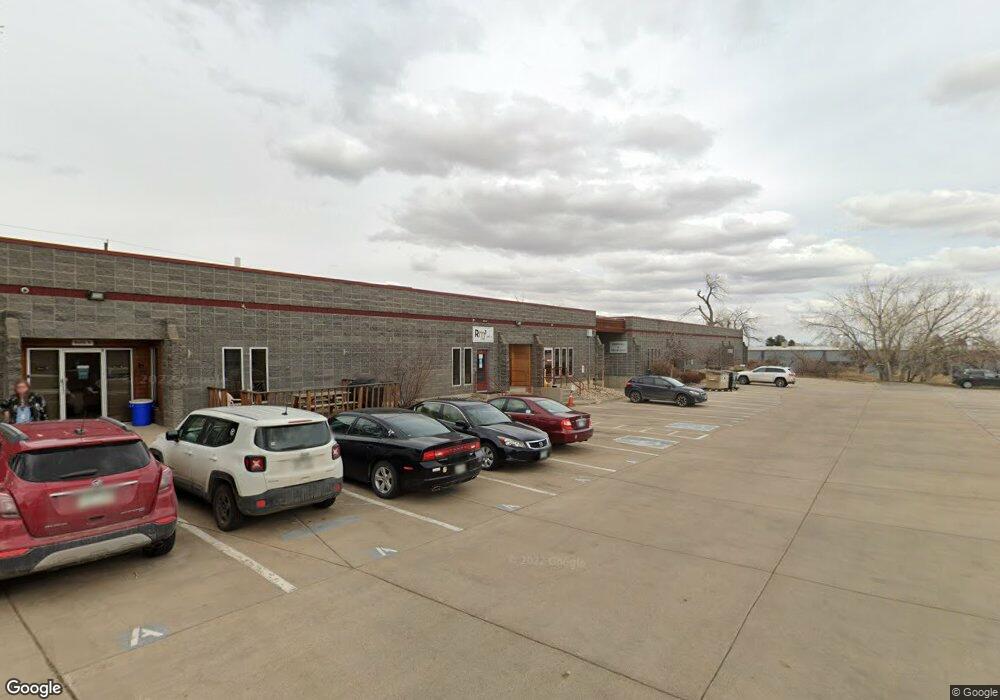
530 Compton St Unit B Broomfield, CO 80020
Estimated Value: $3,173,563
Studio
--
Bath
12,252
Sq Ft
$259/Sq Ft
Est. Value
About This Home
This home is located at 530 Compton St Unit B, Broomfield, CO 80020 and is currently estimated at $3,173,563, approximately $259 per square foot. 530 Compton St Unit B is a home located in Broomfield County with nearby schools including Emerald Elementary School, Broomfield Heights Middle School, and Broomfield High School.
Ownership History
Date
Name
Owned For
Owner Type
Purchase Details
Closed on
Jun 1, 2005
Sold by
Suppa Properties Llc
Bought by
Lonnsburry Properties Llc
Current Estimated Value
Home Financials for this Owner
Home Financials are based on the most recent Mortgage that was taken out on this home.
Original Mortgage
$1,018,614
Outstanding Balance
$532,804
Interest Rate
5.79%
Mortgage Type
Commercial
Estimated Equity
$2,640,759
Create a Home Valuation Report for This Property
The Home Valuation Report is an in-depth analysis detailing your home's value as well as a comparison with similar homes in the area
Purchase History
| Date | Buyer | Sale Price | Title Company |
|---|---|---|---|
| Lonnsburry Properties Llc | $1,350,000 | -- |
Source: Public Records
Mortgage History
| Date | Status | Borrower | Loan Amount |
|---|---|---|---|
| Open | Lonnsburry Properties Llc | $1,018,614 | |
| Closed | Lonnsburry Properties Llc | $270,000 |
Source: Public Records
Tax History
| Year | Tax Paid | Tax Assessment Tax Assessment Total Assessment is a certain percentage of the fair market value that is determined by local assessors to be the total taxable value of land and additions on the property. | Land | Improvement |
|---|---|---|---|---|
| 2025 | $87,253 | $911,980 | $222,040 | $689,940 |
| 2024 | $87,253 | $931,140 | $222,040 | $709,100 |
| 2023 | $87,079 | $967,860 | $230,800 | $737,060 |
| 2022 | $56,141 | $580,710 | $188,830 | $391,880 |
| 2021 | $54,292 | $580,710 | $188,830 | $391,880 |
| 2020 | $50,830 | $540,320 | $167,850 | $372,470 |
| 2019 | $51,001 | $540,320 | $167,850 | $372,470 |
| 2018 | $44,533 | $471,790 | $157,360 | $314,430 |
| 2017 | $43,319 | $471,790 | $157,360 | $314,430 |
Source: Public Records
Map
Nearby Homes
- 1018 Depot Hill Rd
- 3132 W 10th Avenue Place
- 1109 Lilac St
- 1151 Goldenrod Cir
- 3221 W 10th Avenue Place
- 3174 W 11th Avenue Dr
- 2102 Ridge Dr
- 865 Nickel St
- 1480 W 1st Ave Unit 12
- 740 Lotus Way
- 1130 Opal St Unit 104
- 2054 Sunridge Cir Unit 8
- 265 Laurel St
- 1166 Opal St Unit 104
- 1190 Opal St Unit 101
- 1190 Opal St Unit 104
- 870 Hemlock Way
- 8005 Emerald Ln
- 155 Jade St
- 1310 Laurel St
- 530 Compton St Unit A
- 530 Compton St Unit 5
- 530 Compton St
- 530 Compton St Unit C
- 530 Compton St Unit A & B
- 510 Compton St
- 555 Burbank St Unit E
- 2100 W 6th Ave
- 590 Burbank St Unit 200
- 2050 W 6th Ave
- 2705 Industrial Ln
- 2095 W 6th Ave
- 700 Burbank St Unit 700
- 710 Burbank St
- 720 Burbank St Unit 720
- 1020 Lilac St
- 1010 Lilac St
- 1000 Lilac St
- 990 Lilac St
- 730 Burbank St Unit 730
Your Personal Tour Guide
Ask me questions while you tour the home.