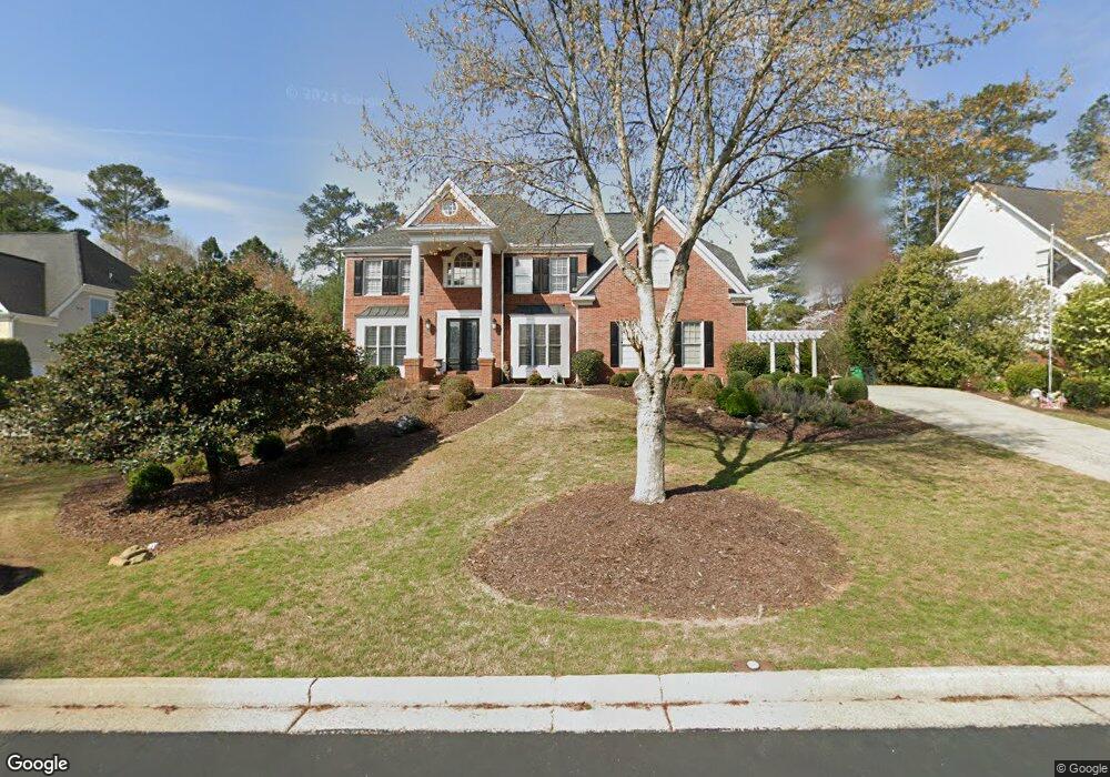
530 Croydon Ln Unit X Alpharetta, GA 30022
Doublegate NeighborhoodEstimated Value: $987,424 - $1,225,000
4
Beds
4
Baths
4,188
Sq Ft
$255/Sq Ft
Est. Value
About This Home
This home is located at 530 Croydon Ln Unit X, Alpharetta, GA 30022 and is currently estimated at $1,068,356, approximately $255 per square foot. 530 Croydon Ln Unit X is a home located in Fulton County with nearby schools including State Bridge Crossing Elementary School, Autrey Mill Middle School, and Johns Creek High School.
Ownership History
Date
Name
Owned For
Owner Type
Purchase Details
Closed on
Oct 7, 1996
Sold by
Johns Creek Dev Co Inc
Bought by
Dean Cowart Homs Inc
Current Estimated Value
Purchase Details
Closed on
Feb 5, 1996
Sold by
Crawley Ent Inc
Bought by
Franklin Sonia M Roger L
Create a Home Valuation Report for This Property
The Home Valuation Report is an in-depth analysis detailing your home's value as well as a comparison with similar homes in the area
Home Values in the Area
Average Home Value in this Area
Purchase History
| Date | Buyer | Sale Price | Title Company |
|---|---|---|---|
| Dean Cowart Homs Inc | $45,000 | -- | |
| Franklin Sonia M Roger L | $329,000 | -- |
Source: Public Records
Mortgage History
| Date | Status | Borrower | Loan Amount |
|---|---|---|---|
| Closed | Franklin Sonia M Roger L | $0 |
Source: Public Records
Tax History Compared to Growth
Tax History
| Year | Tax Paid | Tax Assessment Tax Assessment Total Assessment is a certain percentage of the fair market value that is determined by local assessors to be the total taxable value of land and additions on the property. | Land | Improvement |
|---|---|---|---|---|
| 2025 | $6,558 | $380,440 | $109,560 | $270,880 |
| 2023 | $7,479 | $264,960 | $48,120 | $216,840 |
| 2022 | $6,415 | $245,160 | $42,880 | $202,280 |
| 2021 | $6,374 | $259,600 | $44,840 | $214,760 |
| 2020 | $6,843 | $242,040 | $49,440 | $192,600 |
| 2019 | $813 | $219,600 | $44,600 | $175,000 |
| 2018 | $6,522 | $214,440 | $43,560 | $170,880 |
| 2017 | $6,776 | $214,440 | $43,560 | $170,880 |
| 2016 | $6,485 | $220,000 | $37,120 | $182,880 |
| 2015 | $6,557 | $220,000 | $37,120 | $182,880 |
| 2014 | $6,202 | $197,720 | $31,600 | $166,120 |
Source: Public Records
Map
Nearby Homes
- 10265 Minion Ct Unit 27
- 10281 Midway Ave
- 10296 Quadrant Ct Unit 76
- 230 Skidaway Ct
- 9950 Farmbrook Ln
- 720 Buttercup Trace
- 510 Winston Croft Cir Unit 56
- 512 Winston Croft Cir Unit 57
- 504 Winston Croft Cir Unit 54
- 1007 Crown Oak St Unit 45
- 1007 Crown Oak St
- 1003 Crown Oak St Unit 43
- 1005 Crown Oak St Unit 44
- 1011 Crown Oak St Unit 47
- 455 Oak Laurel Ct
- 10570 Bridgemor Dr
- 230 Pinebridge Ct
- 144 Wards Crossing Way
- The Ellington Plan at Ward's Crossing - Classic Collection
- The Jacobsen I Plan at Ward's Crossing - Townhomes
- 520 Croydon Ln Unit 520
- 520 Croydon Ln
- 540 Croydon Ln Unit 10
- 775 Apsley Way Unit IX
- 765 Apsley Way
- 535 Croydon Ln
- 0 Circassian Ct Unit 7131837
- 0 Circassian Ct Unit 8072926
- 0 Circassian Ct Unit 8753129
- 550 Croydon Ln
- 510 Croydon Ln
- 545 Croydon Ln
- 755 Apsley Way
- 905 Circassian Ct
- 785 Apsley Way Unit IX
- 555 Croydon Ln Unit 9
- 560 Croydon Ln Unit X
- 915 Circassian Ct
- 745 Apsley Way
- 910 Circassian Ct