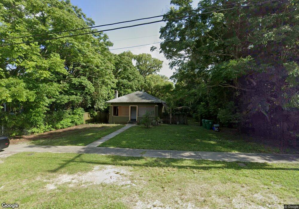
530 E Rich Ave Deland, FL 32724
Estimated Value: $199,102 - $234,000
3
Beds
1
Bath
1,268
Sq Ft
$170/Sq Ft
Est. Value
About This Home
This home is located at 530 E Rich Ave, Deland, FL 32724 and is currently estimated at $215,776, approximately $170 per square foot. 530 E Rich Ave is a home located in Volusia County with nearby schools including Blue Lake Elementary School, Deland High School, and Deland Middle School.
Ownership History
Date
Name
Owned For
Owner Type
Purchase Details
Closed on
Aug 4, 2005
Sold by
Harris Kevin A
Bought by
Pandolfi Anthony M
Current Estimated Value
Purchase Details
Closed on
Jul 1, 2005
Sold by
Jones David B
Bought by
Harris Kevin A
Purchase Details
Closed on
Jul 19, 2000
Sold by
Titus Marsha Murphy
Bought by
Harris Kevin A and Jones David Brian
Purchase Details
Closed on
May 26, 2000
Sold by
Titus Marsha Murphy and Underhill William Amory
Bought by
Titus Marsha Murphy
Purchase Details
Closed on
Oct 15, 1973
Bought by
Pandolfi Anthony M
Create a Home Valuation Report for This Property
The Home Valuation Report is an in-depth analysis detailing your home's value as well as a comparison with similar homes in the area
Home Values in the Area
Average Home Value in this Area
Purchase History
| Date | Buyer | Sale Price | Title Company |
|---|---|---|---|
| Pandolfi Anthony M | $51,000 | Associated Land Title Group | |
| Harris Kevin A | -- | -- | |
| Harris Kevin A | $23,000 | -- | |
| Titus Marsha Murphy | -- | -- | |
| Pandolfi Anthony M | $13,000 | -- |
Source: Public Records
Tax History Compared to Growth
Tax History
| Year | Tax Paid | Tax Assessment Tax Assessment Total Assessment is a certain percentage of the fair market value that is determined by local assessors to be the total taxable value of land and additions on the property. | Land | Improvement |
|---|---|---|---|---|
| 2025 | $1,867 | $155,445 | $50,232 | $105,213 |
| 2024 | $1,867 | $159,201 | $50,232 | $108,969 |
| 2023 | $1,867 | $144,717 | $34,310 | $110,407 |
| 2022 | $1,697 | $126,166 | $33,099 | $93,067 |
| 2021 | $1,601 | $105,331 | $24,623 | $80,708 |
| 2020 | $1,428 | $89,855 | $20,183 | $69,672 |
| 2019 | $1,385 | $86,270 | $16,146 | $70,124 |
| 2018 | $1,314 | $78,790 | $13,320 | $65,470 |
| 2017 | $1,170 | $61,252 | $11,313 | $49,939 |
| 2016 | $1,075 | $58,867 | $0 | $0 |
| 2015 | $951 | $45,158 | $0 | $0 |
| 2014 | $898 | $42,842 | $0 | $0 |
Source: Public Records
Map
Nearby Homes
- 524 E Church St
- 449 E Church St
- 455 E Church St
- 443, 449 & 455 E Church St
- 139 N Boston Ave
- 135 S Arlington Ave
- 322 N Frankfort Ave
- 345 E Church St
- 502 E Howry Ave
- 406 N Kentucky Ave
- 330 E Wisconsin Ave
- 1301 E Wisconsin Ave
- 0 E Wisconsin Ave Unit MFRO6190518
- 419 N Frankfort Ave
- 706 E Minnesota Ave Unit C
- 437 N Boston Ave Unit 437
- 503 E Minnesota Ave
- 137 S Chandler Ave
- 141 N McDonald Ave
- 3 S University Cir
- 532 E Rich Ave
- 518 E Rich Ave
- 138 N Kentucky Ave
- 134 N Kentucky Ave
- 529 E Rich Ave
- 525 E Rich Ave
- 533 E Rich Ave
- 130 N Kentucky Ave
- 521 E Rich Ave
- 145 N Garfield Ave
- 543 E Rich Ave
- 515 E Rich Ave
- 139 N Kentucky Ave
- 547 E Rich Ave
- 106 N Kentucky Ave
- 135 N Kentucky Ave
- 511 E Rich Ave
- 117 N Garfield Ave Unit 15
- 117 N Garfield Ave Unit 117
- 117 N Garfield Ave Unit 13