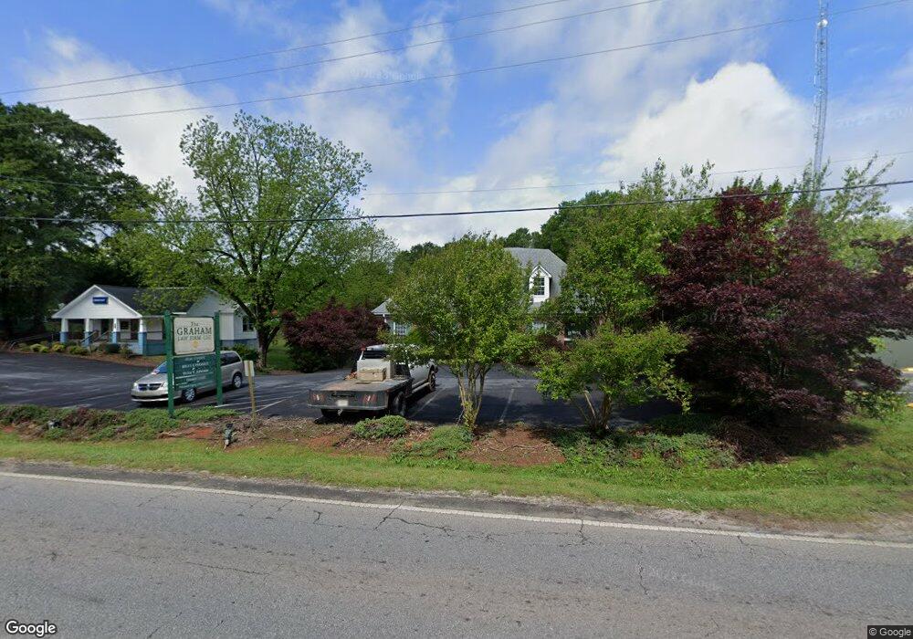
530 General Daniel Ave N Danielsville, GA 30633
Estimated Value: $334,000 - $368,000
--
Bed
1
Bath
2,100
Sq Ft
$168/Sq Ft
Est. Value
About This Home
This home is located at 530 General Daniel Ave N, Danielsville, GA 30633 and is currently estimated at $353,000, approximately $168 per square foot. 530 General Daniel Ave N is a home located in Madison County with nearby schools including Madison County High School.
Ownership History
Date
Name
Owned For
Owner Type
Purchase Details
Closed on
Nov 30, 2011
Sold by
Strickland R George
Bought by
Strickland Family Properties Llc
Current Estimated Value
Purchase Details
Closed on
Jun 8, 2007
Sold by
Haley Thomas Jerry
Bought by
Strickland R George and Strickland Autumn F
Create a Home Valuation Report for This Property
The Home Valuation Report is an in-depth analysis detailing your home's value as well as a comparison with similar homes in the area
Home Values in the Area
Average Home Value in this Area
Purchase History
| Date | Buyer | Sale Price | Title Company |
|---|---|---|---|
| Strickland Family Properties Llc | -- | -- | |
| Strickland R George | -- | -- | |
| Strickland R George | $135,000 | -- |
Source: Public Records
Tax History Compared to Growth
Tax History
| Year | Tax Paid | Tax Assessment Tax Assessment Total Assessment is a certain percentage of the fair market value that is determined by local assessors to be the total taxable value of land and additions on the property. | Land | Improvement |
|---|---|---|---|---|
| 2024 | $3,459 | $109,194 | $13,440 | $95,754 |
| 2023 | $3,788 | $103,474 | $13,440 | $90,034 |
| 2022 | $3,048 | $93,802 | $13,440 | $80,362 |
| 2021 | $2,819 | $77,003 | $13,440 | $63,563 |
| 2020 | $2,419 | $65,800 | $13,440 | $52,360 |
| 2019 | -- | $64,864 | $13,440 | $51,424 |
| 2018 | -- | $64,830 | $13,440 | $51,390 |
| 2017 | -- | $62,331 | $13,440 | $48,891 |
| 2016 | $1,705 | $49,245 | $6,720 | $42,525 |
Source: Public Records
Map
Nearby Homes
- 430 Sherwood Cir
- 255 Hillwood Dr Unit 1
- 105 Georgia 98
- 00 Highway 29 Unit A
- 170 Northridge Dr
- 150 Northridge Dr Unit 3
- 150 Northridge Dr
- 140 Northridge Dr
- 140 Northridge Dr Unit 6
- 112 Northridge Dr Unit 8
- 112 Northridge Dr
- 96 Northridge Dr Unit 10
- 96 Northridge Dr
- 49 Ridgeway Dr
- 0 Irvin Kirk Rd
- 155 Mulberry Ln
- 0 Veterans Dr Unit 10462425
- 0 Veterans Dr Unit 10462434
- 0 Veterans Dr Unit 10462428
- 0 Veterans Dr Unit 10462420
- 65 Sunset Dr
- 60 Grady Ln
- 694 Highway 29 N
- 514 General Daniel Ave
- 514 General Daniels Ave N
- 670 U S 29
- 670 Highway 29 N
- 670 Highway 29 N Unit 1
- 670 Hwy 29n
- 570 Hwy 29n
- 715 U S 29
- 63 Sherwood Dr
- 21 Sherwood Dr Unit 1
- 21 Sherwood Dr
- 43 Sherwood Dr
- 569 General Daniel Ave N
- 20 Sherwood Dr
- 81 Sherwood Dr
- 109 Sherwood Dr
- 0 Sherwood Dr