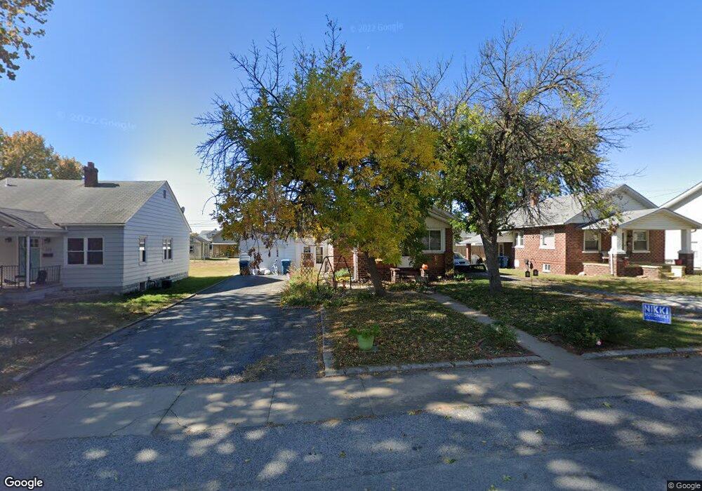
530 Hamilton Ave Wood River, IL 62095
Estimated Value: $100,954 - $122,000
3
Beds
1
Bath
792
Sq Ft
$142/Sq Ft
Est. Value
About This Home
This home is located at 530 Hamilton Ave, Wood River, IL 62095 and is currently estimated at $112,739, approximately $142 per square foot. 530 Hamilton Ave is a home located in Madison County with nearby schools including Lewis-Clark Elementary School and East Alton-Wood River High School.
Ownership History
Date
Name
Owned For
Owner Type
Purchase Details
Closed on
Mar 20, 2006
Sold by
Lavite John C and Lavite Jamie
Bought by
Fulkerson Brent A and Fulkerson Kristin D
Current Estimated Value
Home Financials for this Owner
Home Financials are based on the most recent Mortgage that was taken out on this home.
Original Mortgage
$73,344
Outstanding Balance
$41,842
Interest Rate
6.33%
Mortgage Type
FHA
Estimated Equity
$70,897
Create a Home Valuation Report for This Property
The Home Valuation Report is an in-depth analysis detailing your home's value as well as a comparison with similar homes in the area
Home Values in the Area
Average Home Value in this Area
Purchase History
| Date | Buyer | Sale Price | Title Company |
|---|---|---|---|
| Fulkerson Brent A | $74,000 | Serenity Title & Escrow Ltd |
Source: Public Records
Mortgage History
| Date | Status | Borrower | Loan Amount |
|---|---|---|---|
| Open | Fulkerson Brent A | $73,344 |
Source: Public Records
Tax History Compared to Growth
Tax History
| Year | Tax Paid | Tax Assessment Tax Assessment Total Assessment is a certain percentage of the fair market value that is determined by local assessors to be the total taxable value of land and additions on the property. | Land | Improvement |
|---|---|---|---|---|
| 2024 | $2,163 | $31,130 | $5,710 | $25,420 |
| 2023 | $2,163 | $29,020 | $5,320 | $23,700 |
| 2022 | $2,017 | $26,780 | $4,910 | $21,870 |
| 2021 | $1,764 | $24,960 | $4,580 | $20,380 |
| 2020 | $1,704 | $24,040 | $4,410 | $19,630 |
| 2019 | $1,627 | $23,330 | $4,280 | $19,050 |
| 2018 | $1,653 | $23,060 | $4,070 | $18,990 |
| 2017 | $1,539 | $22,510 | $3,970 | $18,540 |
| 2016 | $1,511 | $22,510 | $3,970 | $18,540 |
| 2015 | $1,501 | $22,270 | $3,930 | $18,340 |
| 2014 | $1,501 | $22,270 | $3,930 | $18,340 |
| 2013 | $1,501 | $22,590 | $3,990 | $18,600 |
Source: Public Records
Map
Nearby Homes
- 469 N 1st St
- 207 E Penning Ave
- 71 Carstens Ave
- 72 E Acton Ave
- 41 W Penning Ave
- 537 Tipton Ave
- 242 E Lorena Ave
- 529 5th St
- 565 5th St
- 726 Rice St
- 777 Condit St
- 458 N 6th St
- 830 N Wood River Ave
- 523 E Acton Ave
- 411 E Ferguson Ave
- 545 E Acton Ave
- 523 Wilson Ave
- 503 E Ferguson Ave
- 833 State St
- 959 Cedar Dr
- 526 Hamilton Ave
- 534 Hamilton Ave
- 518 Hamilton Ave
- 560 Hamilton Ave
- 547 N 1st St
- 535 N 1st St
- 564 Hamilton Ave
- 549 N 1st St
- 529 N 1st St
- 547 Hamilton Ave
- 529 Hamilton Ave
- 555 N 1st St
- 549 Hamilton Ave
- 512 Hamilton Ave
- 521 Hamilton Ave
- 517 N 1st St
- 555 Hamilton Ave
- 566 Hamilton Ave
- 559 N 1st St
- 563 Hamilton Ave