530 Hemlock Trail Blue Ridge, GA 30513
Estimated Value: $471,000 - $533,000
--
Bed
1
Bath
960
Sq Ft
$517/Sq Ft
Est. Value
About This Home
This home is located at 530 Hemlock Trail, Blue Ridge, GA 30513 and is currently estimated at $496,000, approximately $516 per square foot. 530 Hemlock Trail is a home with nearby schools including Fannin County High School.
Ownership History
Date
Name
Owned For
Owner Type
Purchase Details
Closed on
Mar 17, 2004
Sold by
Ochsner M Gage
Bought by
Clark Dale Y and Clark Wanda Y
Current Estimated Value
Purchase Details
Closed on
May 14, 2001
Sold by
Ochsner M Gage
Bought by
Ochsner M Gage
Purchase Details
Closed on
Feb 19, 2001
Sold by
Ochsner Md M Gage
Bought by
Ochsner M Gage
Purchase Details
Closed on
Dec 28, 2000
Sold by
Kennedy Ann S
Bought by
Ochsner Md M Gage
Create a Home Valuation Report for This Property
The Home Valuation Report is an in-depth analysis detailing your home's value as well as a comparison with similar homes in the area
Home Values in the Area
Average Home Value in this Area
Purchase History
| Date | Buyer | Sale Price | Title Company |
|---|---|---|---|
| Clark Dale Y | $135,000 | -- | |
| Ochsner M Gage | -- | -- | |
| Ochsner M Gage | -- | -- | |
| Ochsner Md M Gage | $85,000 | -- |
Source: Public Records
Tax History Compared to Growth
Tax History
| Year | Tax Paid | Tax Assessment Tax Assessment Total Assessment is a certain percentage of the fair market value that is determined by local assessors to be the total taxable value of land and additions on the property. | Land | Improvement |
|---|---|---|---|---|
| 2025 | $853 | $93,041 | $20,765 | $72,276 |
| 2024 | $853 | $93,041 | $20,765 | $72,276 |
| 2023 | $785 | $76,977 | $20,765 | $56,212 |
| 2022 | $806 | $79,101 | $20,765 | $58,336 |
| 2021 | $591 | $42,160 | $17,798 | $24,362 |
| 2020 | $601 | $42,160 | $17,798 | $24,362 |
| 2019 | $613 | $42,160 | $17,798 | $24,362 |
| 2018 | $650 | $42,160 | $17,798 | $24,362 |
| 2017 | $747 | $42,192 | $17,798 | $24,394 |
| 2016 | $588 | $34,649 | $14,035 | $20,614 |
| 2015 | $570 | $32,121 | $14,280 | $17,841 |
| 2014 | $764 | $42,937 | $23,868 | $19,069 |
| 2013 | -- | $40,411 | $23,868 | $16,543 |
Source: Public Records
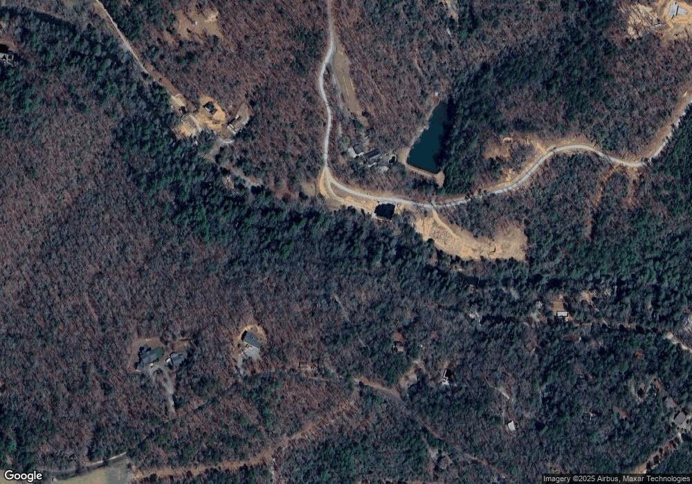
Map
Nearby Homes
- 222 Icy Ln
- HEMLOCK Hemlock Trail
- 163 Cherokee Path
- 340 Hemlock Trail
- 308 Hemlock Trail
- 129 Old Bend Rd
- 184 Spence Rd
- 184 Spence Rd
- 450 Miracle Ln
- 3382 Lickskillet Rd
- 3448 Lickskillet Rd
- 25 Rocky Dam Rd
- 2695 Highway 2 Unit 3
- 2695 Highway 2
- 2596 Highway 2
- 254 Nicholson Rd
- 320 Old Highway 2
- 22.5 ac Highway 2
- 22.5 ac Highway 2 Unit TR 6
- 237 Chestnut Gap Rd
- 481 Hemlock Trail
- 381 Icy Ln
- 0 Cherokee Path Unit 286477
- 0 Cherokee Path Unit .89 AC 7631398
- 0 Cherokee Path Unit Lot 5 & 6 8767091
- 649 Tipton Rd
- 1228 Power Dam Rd
- 274 Icy Ln
- 420 Hemlock Trail
- 202 Cherokee Path
- 1250 Power Dam Rd
- 187 Cherokee Path
- 400 Hemlock Trail
- 400 Hemlock Trail Unit 14&15
- 400 Hemlock Trail
- 222 Icy Ln Unit 61,62
- 368 Hemlock Trail
- 357 Hemlock Trail
- 2LOTS Hemlock Trail
- LT108 Hemlock Trail