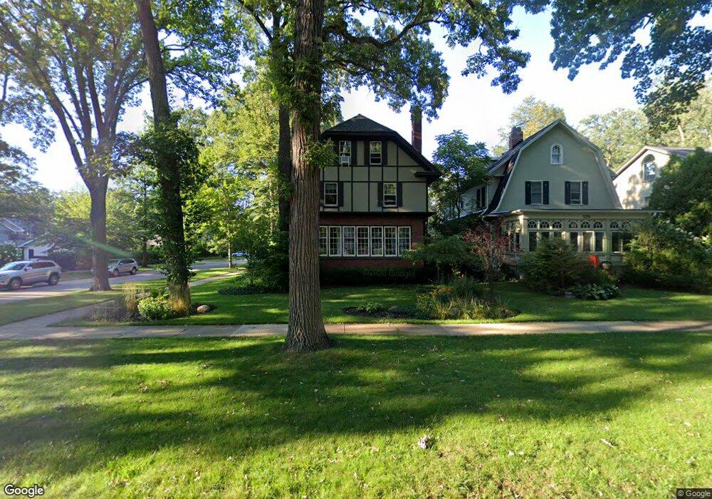
530 Laurel Ave Wilmette, IL 60091
Estimated Value: $1,455,000 - $1,693,000
--
Bed
4
Baths
2,940
Sq Ft
$537/Sq Ft
Est. Value
About This Home
This home is located at 530 Laurel Ave, Wilmette, IL 60091 and is currently estimated at $1,578,661, approximately $536 per square foot. 530 Laurel Ave is a home located in Cook County with nearby schools including Central Elementary School, Highcrest Middle School, and Wilmette Junior High School.
Ownership History
Date
Name
Owned For
Owner Type
Purchase Details
Closed on
Apr 15, 1996
Sold by
Tennant James R and Tennat Robin Kory
Bought by
Graham Darrell J and Creighton Monica M
Current Estimated Value
Home Financials for this Owner
Home Financials are based on the most recent Mortgage that was taken out on this home.
Original Mortgage
$430,000
Outstanding Balance
$20,569
Interest Rate
7.52%
Estimated Equity
$1,558,092
Create a Home Valuation Report for This Property
The Home Valuation Report is an in-depth analysis detailing your home's value as well as a comparison with similar homes in the area
Home Values in the Area
Average Home Value in this Area
Purchase History
| Date | Buyer | Sale Price | Title Company |
|---|---|---|---|
| Graham Darrell J | $590,000 | -- |
Source: Public Records
Mortgage History
| Date | Status | Borrower | Loan Amount |
|---|---|---|---|
| Open | Graham Darrell J | $430,000 |
Source: Public Records
Tax History Compared to Growth
Tax History
| Year | Tax Paid | Tax Assessment Tax Assessment Total Assessment is a certain percentage of the fair market value that is determined by local assessors to be the total taxable value of land and additions on the property. | Land | Improvement |
|---|---|---|---|---|
| 2024 | $23,301 | $106,000 | $22,660 | $83,340 |
| 2023 | $22,032 | $106,000 | $22,660 | $83,340 |
| 2022 | $22,032 | $106,000 | $22,660 | $83,340 |
| 2021 | $20,023 | $80,402 | $18,128 | $62,274 |
| 2020 | $19,754 | $80,402 | $18,128 | $62,274 |
| 2019 | $19,154 | $87,394 | $18,128 | $69,266 |
| 2018 | $18,215 | $80,000 | $15,656 | $64,344 |
| 2017 | $17,725 | $80,000 | $15,656 | $64,344 |
| 2016 | $16,846 | $80,000 | $15,656 | $64,344 |
| 2015 | $20,780 | $86,331 | $12,978 | $73,353 |
| 2014 | $20,463 | $86,331 | $12,978 | $73,353 |
| 2013 | $19,528 | $86,331 | $12,978 | $73,353 |
Source: Public Records
Map
Nearby Homes
- 601 Linden Ave
- 526 Linden Ave
- 2741 Eastwood Ave
- 105 Dupee Place
- 706 Washington Ave
- 315 Washington Ave
- 521 10th St
- 250 3rd St
- 693 Sheridan Rd
- 623 Forest Ave
- 1025 Central Ave
- 2635 Poplar Ave
- 1107 Greenleaf Ave Unit 4G
- 714 Forest Ave
- 633 Elmwood Ave
- 705 11th St Unit 307
- 119 Sheridan Rd
- 1219 Central St Unit B
- 1318 Central St Unit 1N
- 2539.5 Prairie Ave Unit 3W