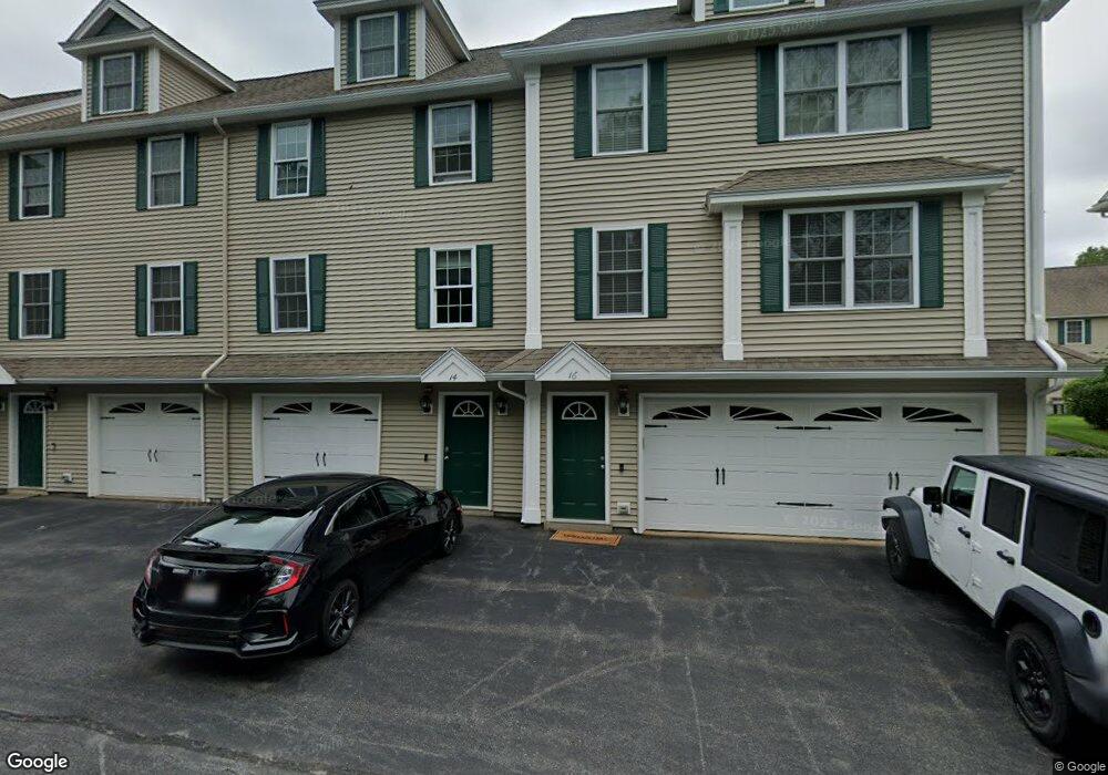
530 Mammoth Rd Unit 44 Dracut, MA 01826
Estimated Value: $505,000 - $525,000
2
Beds
2
Baths
1,740
Sq Ft
$296/Sq Ft
Est. Value
About This Home
This home is located at 530 Mammoth Rd Unit 44, Dracut, MA 01826 and is currently estimated at $515,511, approximately $296 per square foot. 530 Mammoth Rd Unit 44 is a home located in Middlesex County with nearby schools including Brookside Elementary School, Richardson Middle School, and Dracut Senior High School.
Ownership History
Date
Name
Owned For
Owner Type
Purchase Details
Closed on
Oct 22, 2010
Sold by
East View Corp
Bought by
Anastasopoulos Laurie
Current Estimated Value
Home Financials for this Owner
Home Financials are based on the most recent Mortgage that was taken out on this home.
Original Mortgage
$199,200
Outstanding Balance
$131,585
Interest Rate
4.37%
Mortgage Type
Purchase Money Mortgage
Estimated Equity
$383,926
Create a Home Valuation Report for This Property
The Home Valuation Report is an in-depth analysis detailing your home's value as well as a comparison with similar homes in the area
Home Values in the Area
Average Home Value in this Area
Purchase History
| Date | Buyer | Sale Price | Title Company |
|---|---|---|---|
| Anastasopoulos Laurie | $249,900 | -- |
Source: Public Records
Mortgage History
| Date | Status | Borrower | Loan Amount |
|---|---|---|---|
| Open | Anastasopoulos Laurie | $199,200 |
Source: Public Records
Tax History Compared to Growth
Tax History
| Year | Tax Paid | Tax Assessment Tax Assessment Total Assessment is a certain percentage of the fair market value that is determined by local assessors to be the total taxable value of land and additions on the property. | Land | Improvement |
|---|---|---|---|---|
| 2025 | $4,640 | $458,500 | $0 | $458,500 |
| 2024 | $4,766 | $456,100 | $0 | $456,100 |
| 2023 | $4,507 | $389,200 | $0 | $389,200 |
| 2022 | $4,317 | $351,300 | $0 | $351,300 |
| 2021 | $4,345 | $334,000 | $0 | $334,000 |
| 2020 | $4,219 | $316,000 | $0 | $316,000 |
| 2019 | $3,982 | $289,600 | $0 | $289,600 |
| 2018 | $3,941 | $278,700 | $0 | $278,700 |
| 2017 | $3,818 | $278,700 | $0 | $278,700 |
| 2016 | $3,663 | $246,800 | $0 | $246,800 |
| 2015 | $3,643 | $244,000 | $0 | $244,000 |
| 2014 | $3,026 | $208,800 | $0 | $208,800 |
Source: Public Records
Map
Nearby Homes
- 35 Honora Ave
- 625 Mammoth Rd
- 16 Wiggin Terrace
- 109 Navy Yard Rd
- 1410 Skyline Dr Unit 9
- 1710 Skyline Dr Unit 10
- 1600 Skyline Dr Unit 2
- 2200 Skyline Dr Unit 5
- 1820 Skyline Dr Unit 18
- 57 Lantern Ln Unit 3
- 33 W Meadow Rd
- 25 Shea St Unit 8
- 45 Hoover St
- 382 University Ave
- 49 Tolman Ave
- 380 University Ave
- 101 Donohue Rd Unit 19
- 101 Donohue Rd Unit 3
- 11 Arbor Dr
- 61 7th Ave W
- 530 Mammoth Rd Unit 48
- 530 Mammoth Rd Unit 46
- 530 Mammoth Rd Unit 42
- 530 Mammoth Rd Unit 40
- 530 Mammoth Rd Unit 38
- 530 Mammoth Rd Unit 36
- 530 Mammoth Rd Unit 34
- 530 Mammoth Rd Unit 30
- 530 Mammoth Rd Unit 28
- 530 Mammoth Rd Unit 26
- 530 Mammoth Rd Unit 24
- 530 Mammoth Rd Unit 22
- 530 Mammoth Rd Unit 20
- 530 Mammoth Rd Unit 18
- 530 Mammoth Rd Unit 16
- 530 Mammoth Rd Unit 14
- 530 Mammoth Rd Unit 12
- 530 Mammoth Rd Unit 10
- 530 Mammoth Rd Unit 8
- 530 Mammoth Rd Unit 6