Estimated Value: $108,000 - $189,000
4
Beds
1
Bath
1,377
Sq Ft
$102/Sq Ft
Est. Value
About This Home
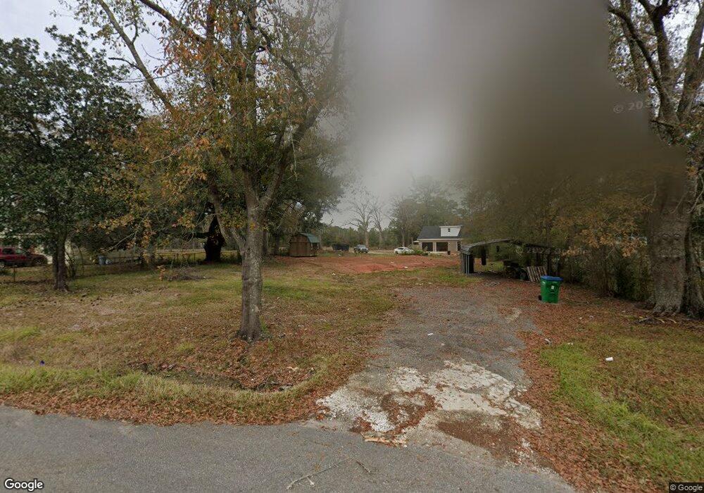
This home is located at 530 Mcbride Cir N, Axis, AL 36505 and is currently estimated at $140,809, approximately $102 per square foot. 530 Mcbride Cir N is a home located in Mobile County with nearby schools including North Mobile County Middle School and Citronelle High School.
Ownership History
Date
Name
Owned For
Owner Type
Purchase Details
Closed on
Mar 30, 2009
Sold by
Rivers Charles E and Rivers Patricia
Bought by
Weaver Derrick D and Weaver Tricia R
Current Estimated Value
Home Financials for this Owner
Home Financials are based on the most recent Mortgage that was taken out on this home.
Original Mortgage
$56,000
Outstanding Balance
$36,917
Interest Rate
6%
Mortgage Type
Seller Take Back
Estimated Equity
$103,892
Purchase Details
Closed on
Nov 16, 1999
Sold by
Wayne Ellis Kenneth and Wayne Sharon G
Bought by
Nichols Raymond C and Nichols Ann S
Create a Home Valuation Report for This Property
The Home Valuation Report is an in-depth analysis detailing your home's value as well as a comparison with similar homes in the area
Home Values in the Area
Average Home Value in this Area
Purchase History
We collect this data history from publicly available records. To have your information removed, we recommend requesting removal directly through your county’s website.
| Date | Buyer | Sale Price | Title Company |
|---|---|---|---|
| Weaver Derrick D | $56,000 | None Available | |
| Nichols Raymond C | -- | -- |
Source: Public Records
Mortgage History
We collect this data history from publicly available records. To have your information removed, we recommend requesting removal directly through your county’s website.
| Date | Status | Borrower | Loan Amount |
|---|---|---|---|
| Open | Weaver Derrick D | $56,000 |
Source: Public Records
Tax History
| Year | Tax Paid | Tax Assessment Tax Assessment Total Assessment is a certain percentage of the fair market value that is determined by local assessors to be the total taxable value of land and additions on the property. | Land | Improvement |
|---|---|---|---|---|
| 2025 | $242 | $6,370 | $1,000 | $5,370 |
| 2024 | $242 | $6,370 | $1,000 | $5,370 |
| 2023 | $242 | $6,020 | $1,000 | $5,020 |
| 2022 | $225 | $6,020 | $1,000 | $5,020 |
| 2021 | $246 | $6,460 | $1,280 | $5,180 |
| 2020 | $246 | $6,460 | $1,280 | $5,180 |
| 2019 | $234 | $6,200 | $0 | $0 |
| 2018 | $208 | $5,680 | $0 | $0 |
| 2017 | $208 | $5,680 | $0 | $0 |
| 2016 | $216 | $5,840 | $0 | $0 |
| 2013 | $187 | $5,120 | $0 | $0 |
Source: Public Records
Map
Nearby Homes
- 635 Wilson Blvd
- 675 Wilson Blvd
- 0 Mcbride Cir S Unit 7098358
- 760 Wilson Blvd
- 11475 Highway 43 N
- 11525 Highway 43 N
- 11045 Hurst Dr
- 0 Bell Dr Unit 5
- 11025 Creax Road Extension
- 0 Lucas Rd Unit 7685894
- 0 Dead Lake Marina Rd Unit 7360688
- 9745 Old Highway 43
- 1801 Dead Lake Marina Rd
- 284 Dead Lake Rd
- 0 Dead Lake Rd Unit 27232161
- 12865 Highway 43 N
- 0 Sailor Rd
- 0 I-65 Service Rd S Unit 7558280
- 0 I-65 Service Rd S Unit 7556322
- 0 I-65 Service Rd S
- 520 Mcbride Cir N
- 520 Mcbride Cir N
- 540 Mcbride Cir N
- 11226 Old Highway 43
- 550 Mcbride Cir N
- 0 Old Highway 43
- 529 Mcbride Cir N
- 515 Mcbride Cir N
- 539 Mcbride Cir N
- 560 Mcbride Cir N
- 501 Mcbride Cir S
- 11160 Old Highway 43
- 561 Mcbride Cir N
- 571 Mcbride Cir N
- 11236 Old Highway 43
- 570 Mcbride Cir N
- 510 Doretta Dr
- 530 Doretta Dr
- 454 Mcbride Cir N
- 461 Mcbride Cir N
Your Personal Tour Guide
Ask me questions while you tour the home.