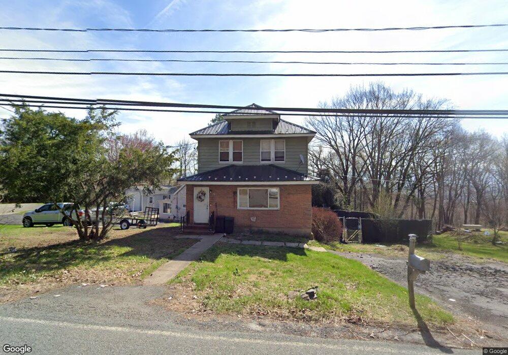
530 Newton Rd Scranton, PA 18504
West Mountain NeighborhoodEstimated Value: $137,705 - $224,000
--
Bed
--
Bath
--
Sq Ft
0.32
Acres
About This Home
This home is located at 530 Newton Rd, Scranton, PA 18504 and is currently estimated at $171,176. 530 Newton Rd is a home located in Lackawanna County with nearby schools including Isaac Tripp Elementary School, West Scranton Intrmd School, and West Scranton High School.
Ownership History
Date
Name
Owned For
Owner Type
Purchase Details
Closed on
Feb 2, 2006
Sold by
Morgan David A
Bought by
Todd Jason Scott
Current Estimated Value
Home Financials for this Owner
Home Financials are based on the most recent Mortgage that was taken out on this home.
Original Mortgage
$66,780
Outstanding Balance
$46,764
Interest Rate
10.75%
Mortgage Type
Adjustable Rate Mortgage/ARM
Estimated Equity
$124,412
Create a Home Valuation Report for This Property
The Home Valuation Report is an in-depth analysis detailing your home's value as well as a comparison with similar homes in the area
Home Values in the Area
Average Home Value in this Area
Purchase History
| Date | Buyer | Sale Price | Title Company |
|---|---|---|---|
| Todd Jason Scott | $74,200 | None Available |
Source: Public Records
Mortgage History
| Date | Status | Borrower | Loan Amount |
|---|---|---|---|
| Open | Todd Jason Scott | $66,780 |
Source: Public Records
Tax History Compared to Growth
Tax History
| Year | Tax Paid | Tax Assessment Tax Assessment Total Assessment is a certain percentage of the fair market value that is determined by local assessors to be the total taxable value of land and additions on the property. | Land | Improvement |
|---|---|---|---|---|
| 2025 | $2,936 | $9,500 | $900 | $8,600 |
| 2024 | $2,675 | $9,500 | $900 | $8,600 |
| 2023 | $2,675 | $9,500 | $900 | $8,600 |
| 2022 | $2,616 | $9,500 | $900 | $8,600 |
| 2021 | $2,616 | $9,500 | $900 | $8,600 |
| 2020 | $2,565 | $9,500 | $900 | $8,600 |
| 2019 | $2,410 | $9,500 | $900 | $8,600 |
| 2018 | $2,410 | $9,500 | $900 | $8,600 |
| 2017 | $2,365 | $9,500 | $900 | $8,600 |
| 2016 | $644 | $9,500 | $900 | $8,600 |
| 2015 | $1,753 | $9,500 | $900 | $8,600 |
| 2014 | -- | $9,500 | $900 | $8,600 |
Source: Public Records
Map
Nearby Homes
- 107 Ridgeview Dr
- 0 Marginal Rd Unit GSBSC253025
- 2749 Jackson St
- 2923 Frink St
- 444 N Cameron Ave
- 138 S Keyser Ave
- 0 Crisp Ave and Division St Unit 22-3646
- 2133 35 Jackson St
- 0 Roanoke Ln Unit GSBSC254856
- 220 N Van Buren Ave
- 0 Way
- 2133 Dorothy St
- 142 S Van Buren Ave
- 813 S Keyser Ave
- 138-140 S Everett Ave
- 352 N Fillmore Ave
- 328 N Fillmore Ave
- 149 S Everett Ave
- 534-536 N Garfield Ave
- 635 N Garfield Ave
- 532 Newton Rd
- 524 Newton Rd
- 534 Newton Rd
- 536 Newton Rd
- 540 Newton Rd
- 601 Newton Rd
- 521 Newton Rd
- 602 Newton Rd
- 445 Newton Rd
- 444 Newton Rd
- 4 Fawnwood Dr
- 3 Fawnwood Dr
- 1641 Whitetail Dr
- 1616 Whitetail Dr
- 1640 Whitetail Dr
- 1 Fawnwood Dr Unit L40
- 515 Newton Rd
- 699 Newton Rd
- 105 Ridgeview Dr
- 103 Ridgeview Dr