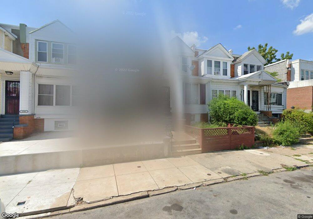
530 S 59th St Philadelphia, PA 19143
Cobbs Creek NeighborhoodEstimated Value: $125,000 - $190,000
3
Beds
1
Bath
1,024
Sq Ft
$148/Sq Ft
Est. Value
About This Home
This home is located at 530 S 59th St, Philadelphia, PA 19143 and is currently estimated at $151,480, approximately $147 per square foot. 530 S 59th St is a home located in Philadelphia County with nearby schools including William C. Bryant School, William L. Sayre High School, and William F. Harrity Elementary Public School 13.
Ownership History
Date
Name
Owned For
Owner Type
Purchase Details
Closed on
Nov 8, 2024
Sold by
Bland Carolyn
Bought by
Bland Carolyn and Bland Andrew L
Current Estimated Value
Purchase Details
Closed on
Mar 7, 2013
Sold by
Bland Andrew and Bland Elizabeth
Bought by
Bland Carolyn
Purchase Details
Closed on
Oct 15, 1999
Sold by
Bland Carolyn and Bland Elizabeth
Bought by
Bland Andrew and Bland Elizabeth
Create a Home Valuation Report for This Property
The Home Valuation Report is an in-depth analysis detailing your home's value as well as a comparison with similar homes in the area
Home Values in the Area
Average Home Value in this Area
Purchase History
| Date | Buyer | Sale Price | Title Company |
|---|---|---|---|
| Bland Carolyn | -- | None Listed On Document | |
| Bland Carolyn | -- | None Listed On Document | |
| Bland Carolyn | -- | None Available | |
| Bland Andrew | -- | -- |
Source: Public Records
Tax History Compared to Growth
Tax History
| Year | Tax Paid | Tax Assessment Tax Assessment Total Assessment is a certain percentage of the fair market value that is determined by local assessors to be the total taxable value of land and additions on the property. | Land | Improvement |
|---|---|---|---|---|
| 2025 | $1,239 | $135,100 | $27,020 | $108,080 |
| 2024 | $1,239 | $135,100 | $27,020 | $108,080 |
| 2023 | $1,239 | $88,500 | $17,700 | $70,800 |
| 2022 | $955 | $88,500 | $17,700 | $70,800 |
| 2021 | $955 | $0 | $0 | $0 |
| 2020 | $955 | $0 | $0 | $0 |
| 2019 | $920 | $0 | $0 | $0 |
| 2018 | $463 | $0 | $0 | $0 |
| 2017 | $463 | $0 | $0 | $0 |
| 2016 | $463 | $0 | $0 | $0 |
| 2015 | $5,120 | $0 | $0 | $0 |
| 2014 | -- | $52,400 | $7,552 | $44,848 |
| 2012 | -- | $8,672 | $2,697 | $5,975 |
Source: Public Records
Map
Nearby Homes
- 531 S Redfield St
- 552 S Redfield St
- 546 S Salford St
- 5856 Hazel Ave
- 5857 Hazel Ave
- 603 S 60th St
- 5854 Larchwood Ave
- 449 S 60th St
- 616 S 60th St
- 5922 Osage Ave
- 5860 Osage Ave
- 5937 Osage Ave Unit B
- 5937 Osage Ave Unit A
- 5836 Pemberton St
- 5907 Osage Ave
- 5856 Walton Ave
- 6049 Walton Ave
- 5842 Pine St
- 5930 Catharine St
- 5934 Catharine St
- 532 S 59th St
- 528 S 59th St
- 526 S 59th St
- 534 S 59th St
- 524 S 59th St
- 536 S 59th St
- 522 S 59th St
- 538 S 59th St
- 535 S Redfield St
- 540 S 59th St
- 529 S Redfield St
- 527 S Redfield St
- 520 S 59th St
- 537 S Redfield St
- 525 S Redfield St
- 518 S 59th St
- 542 S 59th St
- 541 S Redfield St
- 523 S Redfield St
- 543 S Redfield St