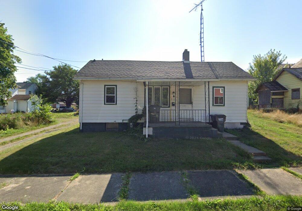
530 S Mechanic Ave Alliance, OH 44601
Estimated Value: $75,000 - $106,000
1
Bed
1
Bath
576
Sq Ft
$150/Sq Ft
Est. Value
About This Home
This home is located at 530 S Mechanic Ave, Alliance, OH 44601 and is currently estimated at $86,667, approximately $150 per square foot. 530 S Mechanic Ave is a home located in Stark County with nearby schools including Alliance Intermediate School at Northside, Alliance Elementary School at Rockhill, and Alliance Middle School.
Ownership History
Date
Name
Owned For
Owner Type
Purchase Details
Closed on
Nov 8, 2022
Sold by
Talll Rentals I Llc
Bought by
Spumante Properties Llc
Current Estimated Value
Purchase Details
Closed on
Jul 30, 2020
Sold by
Johnson Larry F and Johnson Julia
Bought by
Talll Rentals Ii Llc
Purchase Details
Closed on
Jun 9, 1999
Sold by
Martin Eileen K and Chamberlain Eileen K
Bought by
Barth C Andrew
Purchase Details
Closed on
Jun 30, 1997
Sold by
Macaione Frank
Bought by
Martin Eileen K
Create a Home Valuation Report for This Property
The Home Valuation Report is an in-depth analysis detailing your home's value as well as a comparison with similar homes in the area
Home Values in the Area
Average Home Value in this Area
Purchase History
| Date | Buyer | Sale Price | Title Company |
|---|---|---|---|
| Spumante Properties Llc | $215,000 | Heritage Union Title | |
| Talll Rentals Ii Llc | $57,000 | Heritage Union Title Co Ltd | |
| Barth C Andrew | $15,000 | -- | |
| Martin Eileen K | $13,900 | -- |
Source: Public Records
Tax History Compared to Growth
Tax History
| Year | Tax Paid | Tax Assessment Tax Assessment Total Assessment is a certain percentage of the fair market value that is determined by local assessors to be the total taxable value of land and additions on the property. | Land | Improvement |
|---|---|---|---|---|
| 2025 | -- | $8,760 | $2,350 | $6,410 |
| 2024 | -- | $8,760 | $2,350 | $6,410 |
| 2023 | $290 | $7,040 | $1,300 | $5,740 |
| 2022 | $279 | $6,730 | $1,300 | $5,430 |
| 2021 | $280 | $6,730 | $1,300 | $5,430 |
| 2020 | $249 | $5,600 | $1,120 | $4,480 |
| 2019 | $246 | $5,600 | $1,120 | $4,480 |
| 2018 | $247 | $5,600 | $1,120 | $4,480 |
| 2017 | $211 | $4,700 | $950 | $3,750 |
| 2016 | $213 | $4,700 | $950 | $3,750 |
| 2015 | $215 | $4,700 | $950 | $3,750 |
| 2014 | $153 | $3,190 | $840 | $2,350 |
| 2013 | $76 | $3,190 | $840 | $2,350 |
Source: Public Records
Map
Nearby Homes
- 432 S Linden Ave
- 452 E Summit St
- 356 E Broadway St
- 427 S Union Ave
- V/L S Fredeom Ave
- 807 S Union Ave
- 140 W Summit St
- 442 S Liberty Ave
- 361 E Main St
- 142 S Seneca Ave
- 1005 S Freedom Ave
- 132 S Haines Ave
- 163 W Market St
- 1175 S Freedom Ave
- 1044 S Liberty Ave
- 814 Milner St
- 831 Wade Ave
- 551 South St
- 645 W Summit St
- 345 W Market St
- 202 E Cambridge St
- 210 E Cambridge St
- 224 E Cambridge St
- 170 E Cambridge St
- 176 E Cambridge St
- 215 E Oxford St
- 205 E Oxford St
- 222 E Cambridge St
- 519 S Mechanic Ave
- 223 E Oxford St
- 164 E Cambridge St
- 173 E Oxford St
- 163 E Oxford St
- 175 E Cambridge St
- 531 S Arch Ave
- 539 S Arch Ave
- 539 S Arch Ave Unit B
- 539 S Arch Ave Unit Upstairs Apt
- 539 S Arch Ave Unit UP
- 153 E Oxford St