Estimated Value: $554,000 - $671,492
4
Beds
4
Baths
2,702
Sq Ft
$231/Sq Ft
Est. Value
About This Home
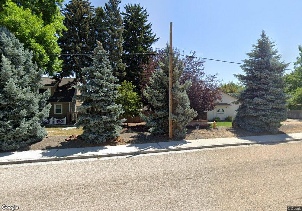
This home is located at 530 S Powerline Rd, Nampa, ID 83686 and is currently estimated at $625,373, approximately $231 per square foot. 530 S Powerline Rd is a home located in Canyon County with nearby schools including Sherman Elementary School, West Middle School, and Skyview High School.
Ownership History
Date
Name
Owned For
Owner Type
Purchase Details
Closed on
Oct 6, 2006
Sold by
Delos Santos Roel and De Los Santos Jennifer
Bought by
Entrust Admin Inc and Ali Reza Bamdad Ira
Current Estimated Value
Home Financials for this Owner
Home Financials are based on the most recent Mortgage that was taken out on this home.
Original Mortgage
$138,000
Outstanding Balance
$82,211
Interest Rate
6.43%
Mortgage Type
Purchase Money Mortgage
Estimated Equity
$543,162
Purchase Details
Closed on
Jun 24, 2005
Sold by
Mussell Mike and Mussell Patty
Bought by
Delos Santos Roel and Delos Santos Jennifer
Home Financials for this Owner
Home Financials are based on the most recent Mortgage that was taken out on this home.
Original Mortgage
$141,750
Interest Rate
5.65%
Mortgage Type
Fannie Mae Freddie Mac
Create a Home Valuation Report for This Property
The Home Valuation Report is an in-depth analysis detailing your home's value as well as a comparison with similar homes in the area
Home Values in the Area
Average Home Value in this Area
Purchase History
| Date | Buyer | Sale Price | Title Company |
|---|---|---|---|
| Entrust Admin Inc | -- | Transnation Title | |
| Delos Santos Roel | -- | Pioneer Title Company Of Can |
Source: Public Records
Mortgage History
| Date | Status | Borrower | Loan Amount |
|---|---|---|---|
| Open | Entrust Admin Inc | $138,000 | |
| Previous Owner | Delos Santos Roel | $141,750 |
Source: Public Records
Tax History Compared to Growth
Tax History
| Year | Tax Paid | Tax Assessment Tax Assessment Total Assessment is a certain percentage of the fair market value that is determined by local assessors to be the total taxable value of land and additions on the property. | Land | Improvement |
|---|---|---|---|---|
| 2025 | $2,185 | $634,500 | $155,000 | $479,500 |
| 2024 | $2,185 | $610,900 | $140,000 | $470,900 |
| 2023 | $4,373 | $580,500 | $140,000 | $440,500 |
| 2022 | $4,132 | $559,800 | $140,000 | $419,800 |
| 2021 | $5,160 | $438,000 | $76,300 | $361,700 |
| 2020 | $2,270 | $350,500 | $58,300 | $292,200 |
| 2019 | $4,853 | $302,400 | $53,500 | $248,900 |
| 2018 | $4,745 | $0 | $0 | $0 |
| 2017 | $4,310 | $0 | $0 | $0 |
| 2016 | $3,940 | $0 | $0 | $0 |
| 2015 | $3,898 | $0 | $0 | $0 |
| 2014 | $3,561 | $182,700 | $28,000 | $154,700 |
Source: Public Records
Map
Nearby Homes
- 416 S Powerline Rd
- 618 Dufur St
- 1207 E Sheridan Ave
- 216 S Powerline Rd
- 1716 Nixon Ave
- 1115 E Clark Ave
- 1047 S 20th St
- 516 20th Ave S
- 223 S Elder St
- 511 20th Ave S
- 512 19th Ave S
- 1157 S Powerline Rd
- 11480 W Sammi St
- 15634 N Shadow Cove Ave
- 2024 2nd St S
- 1300 Diamond Ct
- 615 18th Ave S
- 2308 E Elm Grove Dr
- 1009 Poppy Dr
- 1835 E Kentucky Ave
- 526 S Powerline Rd
- 606 S Power Line Rd
- 606 S Powerline Rd
- 606 S Power Line Rd
- 534/536 S Powerline Rd
- 534 S Powerline Rd
- 608 S Powerline Rd
- 524 S Powerline Rd
- 612 S Powerline Rd
- 516 S Powerline Rd
- 620 S Powerline Rd
- 523 S Powerline Rd
- 603 S Powerline Rd
- 607 S Powerline Rd
- 519 S Powerline Rd
- 512 S Powerline Rd
- 622 S Powerline Rd
- 514 S Powerline Rd
- 611 S Powerline Rd
- 700 S Florence Ct