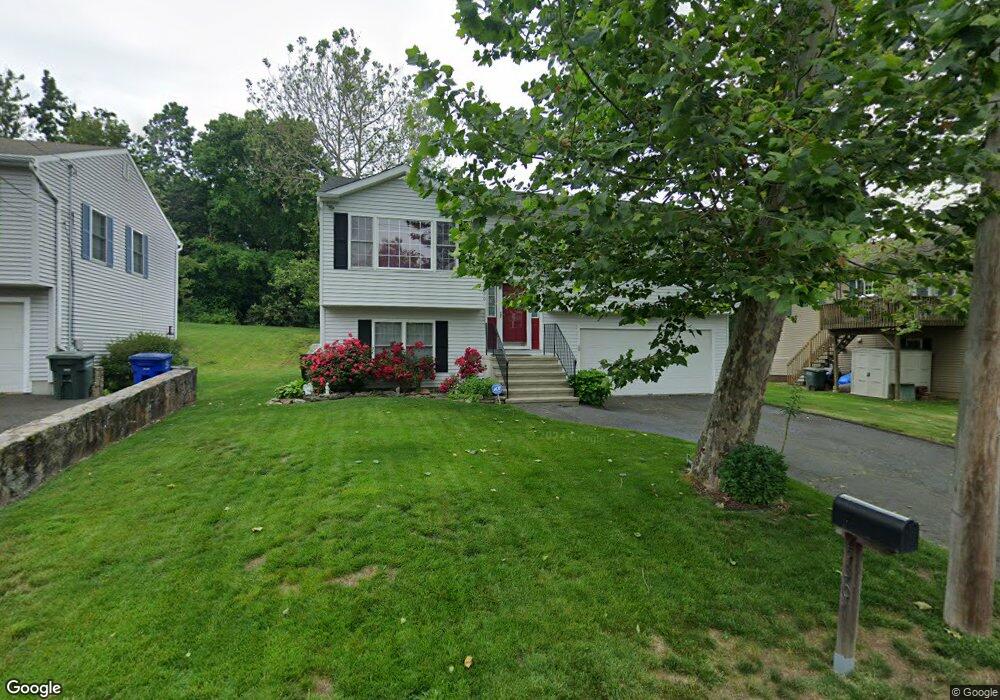
530 Saunders Ave Bridgeport, CT 06606
Reservoir-Whiskey Hill NeighborhoodEstimated Value: $359,000 - $428,000
3
Beds
2
Baths
1,108
Sq Ft
$364/Sq Ft
Est. Value
About This Home
This home is located at 530 Saunders Ave, Bridgeport, CT 06606 and is currently estimated at $403,431, approximately $364 per square foot. 530 Saunders Ave is a home located in Fairfield County with nearby schools including Hallen School, Central High School, and Northeastern Adventist Academy - Fairfield County.
Ownership History
Date
Name
Owned For
Owner Type
Purchase Details
Closed on
Dec 15, 2000
Sold by
Beyor Stacey
Bought by
James Wesley B
Current Estimated Value
Purchase Details
Closed on
Apr 3, 2000
Sold by
Re Mgmt Solutions Llc
Bought by
Beyor Stacey
Create a Home Valuation Report for This Property
The Home Valuation Report is an in-depth analysis detailing your home's value as well as a comparison with similar homes in the area
Home Values in the Area
Average Home Value in this Area
Purchase History
| Date | Buyer | Sale Price | Title Company |
|---|---|---|---|
| James Wesley B | $185,000 | -- | |
| James Wesley B | $185,000 | -- | |
| Beyor Stacey | $161,700 | -- | |
| Beyor Stacey | $161,700 | -- |
Source: Public Records
Mortgage History
| Date | Status | Borrower | Loan Amount |
|---|---|---|---|
| Open | Beyor Stacey | $156,413 | |
| Closed | Beyor Stacey | $163,393 | |
| Closed | Beyor Stacey | $179,000 |
Source: Public Records
Tax History Compared to Growth
Tax History
| Year | Tax Paid | Tax Assessment Tax Assessment Total Assessment is a certain percentage of the fair market value that is determined by local assessors to be the total taxable value of land and additions on the property. | Land | Improvement |
|---|---|---|---|---|
| 2025 | $7,618 | $175,320 | $68,800 | $106,520 |
| 2024 | $7,618 | $175,320 | $68,800 | $106,520 |
| 2023 | $7,618 | $175,320 | $68,800 | $106,520 |
| 2022 | $7,618 | $175,320 | $68,800 | $106,520 |
| 2021 | $7,618 | $175,320 | $68,800 | $106,520 |
| 2020 | $7,223 | $133,780 | $39,600 | $94,180 |
| 2019 | $7,223 | $133,780 | $39,600 | $94,180 |
| 2018 | $7,274 | $133,780 | $39,600 | $94,180 |
| 2017 | $7,274 | $133,780 | $39,600 | $94,180 |
| 2016 | $7,274 | $133,780 | $39,600 | $94,180 |
| 2015 | $6,870 | $162,790 | $45,390 | $117,400 |
| 2014 | $6,870 | $162,790 | $45,390 | $117,400 |
Source: Public Records
Map
Nearby Homes
- 123 Exeter St
- 385 Chamberlain Ave
- 330 Oakwood St
- 45 Polk St
- 355 Chamberlain Ave
- 138 Infield St
- 500 Woodlawn Avenue Extension
- 355 Exeter St
- 213 Exeter St
- 219 Exeter St
- 365 Platt St
- 285 Alba Ave
- 410 Alba Ave
- 39 Infield St
- 245 Indian Ave
- 235 Indian Ave
- 675 Platt St
- 25 Broadway
- 130 Wilkins Ave
- 45 Stevens St Unit 2
- 525 Pond St
- 540 Saunders Ave
- 565 Pond St
- 545 Pond St
- 550 Saunders Ave
- 525 Saunders Ave
- 535 Saunders Ave
- 493 Pond St
- 547 Saunders Ave
- 549 Saunders Ave
- 658 Chopsey Hill Rd
- 634 Chopsey Hill Rd
- 450 Pond St
- 660 Chopsey Hill Rd
- 694 Chopsey Hill Rd
- 694 B Chopsey Hill Rd
- 585 Pond St
- 632 Chopsey Hill Rd
- 614 Earl Ave
- 546 Pond St