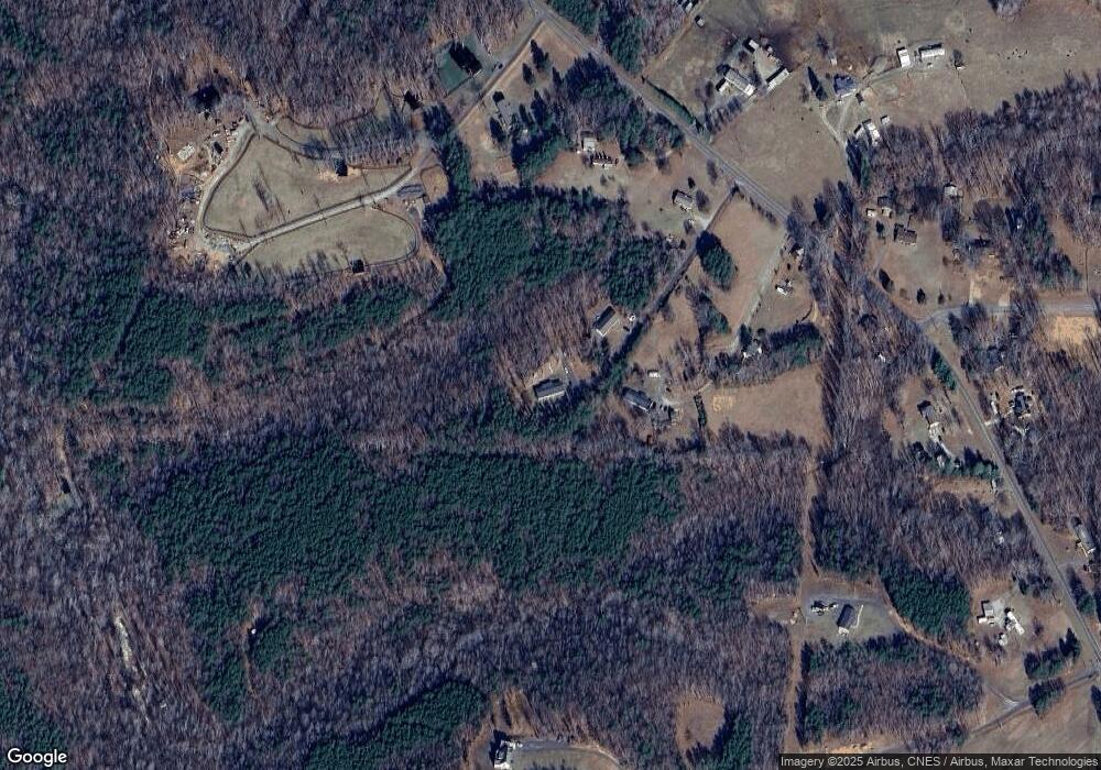
530 Stanley Rd Stokesdale, NC 27357
Estimated Value: $282,000 - $312,000
--
Bed
2
Baths
2,128
Sq Ft
$138/Sq Ft
Est. Value
About This Home
This home is located at 530 Stanley Rd, Stokesdale, NC 27357 and is currently estimated at $294,667, approximately $138 per square foot. 530 Stanley Rd is a home with nearby schools including Huntsville Elementary School, John W. Dillard Academy, and Western Rockingham Middle School.
Ownership History
Date
Name
Owned For
Owner Type
Purchase Details
Closed on
Aug 10, 2016
Sold by
Bailey Max F and Bailey Janice L
Bought by
Gibbs Philip Andrew
Current Estimated Value
Purchase Details
Closed on
Apr 18, 2013
Sold by
Bailey Max F
Bought by
Bailey Max F and Bailey Jenice Lorraine
Purchase Details
Closed on
Jan 3, 2013
Sold by
Bailey Sandra B
Bought by
Bailey Max F
Purchase Details
Closed on
Sep 9, 2008
Sold by
Bailey Max F and Bailey Sandra B
Bought by
Bailey Max F and Bailey Sandra B
Create a Home Valuation Report for This Property
The Home Valuation Report is an in-depth analysis detailing your home's value as well as a comparison with similar homes in the area
Home Values in the Area
Average Home Value in this Area
Purchase History
| Date | Buyer | Sale Price | Title Company |
|---|---|---|---|
| Gibbs Philip Andrew | -- | Attorney | |
| Bailey Max F | -- | None Available | |
| Bailey Max F | -- | None Available | |
| Bailey Max F | -- | None Available |
Source: Public Records
Tax History Compared to Growth
Tax History
| Year | Tax Paid | Tax Assessment Tax Assessment Total Assessment is a certain percentage of the fair market value that is determined by local assessors to be the total taxable value of land and additions on the property. | Land | Improvement |
|---|---|---|---|---|
| 2025 | $2,055 | $295,613 | $43,228 | $252,385 |
| 2024 | $1,957 | $295,613 | $43,228 | $252,385 |
| 2023 | $1,957 | $190,495 | $31,852 | $158,643 |
| 2022 | $1,486 | $190,495 | $31,852 | $158,643 |
| 2021 | $1,486 | $190,495 | $31,852 | $158,643 |
| 2020 | $1,486 | $190,495 | $31,852 | $158,643 |
| 2019 | $1,486 | $190,495 | $31,852 | $158,643 |
| 2018 | $1,402 | $179,570 | $39,858 | $139,712 |
| 2017 | $1,402 | $179,570 | $39,858 | $139,712 |
| 2015 | $1,276 | $161,769 | $39,858 | $121,911 |
| 2014 | $233 | $29,858 | $29,858 | $0 |
Source: Public Records
Map
Nearby Homes
- 3785 Ellisboro Rd
- 155 Lakefield Rd
- 160 Belewsfield Rd
- 160 Belewsfield Rd
- 4035 Ellisboro Rd
- 255 Dionne Way
- 1157 Simpson Rd
- 344 Saddlebred Loop
- 154 Knight Farm Rd
- 1315 Simpson Rd
- 148 Knight Farm Rd
- 1325 Simpson Rd
- 1333 Simpson Rd
- 139 Knight Farm Rd
- 143 Knight Farm Rd
- 147 Knight Farm Rd
- 485 Saddlebred Loop
- 115 Knight Farm Rd
- 325 Twin Creeks Dr
- 223 Twin Creeks Dr
