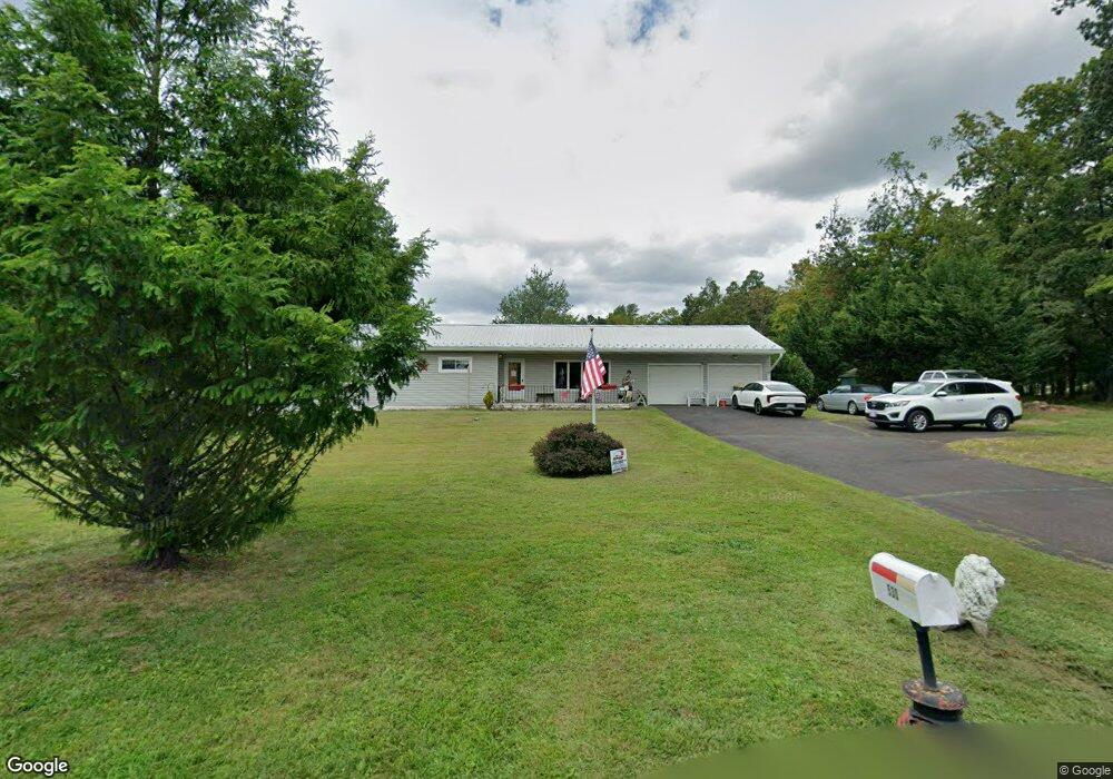
530 Upper Stump Rd Chalfont, PA 18914
Estimated Value: $560,657
2
Beds
2
Baths
1,716
Sq Ft
$327/Sq Ft
Est. Value
About This Home
This home is located at 530 Upper Stump Rd, Chalfont, PA 18914 and is currently estimated at $560,657, approximately $326 per square foot. 530 Upper Stump Rd is a home located in Bucks County with nearby schools including Pennridge High School, Plumstead Christ School Peace Val, and St. Jude Catholic School.
Ownership History
Date
Name
Owned For
Owner Type
Purchase Details
Closed on
Mar 26, 2004
Sold by
Patterson Harold L and Patterson Betty L
Bought by
Mcnutt Paul D and Mcnutt Elizabeth A
Current Estimated Value
Home Financials for this Owner
Home Financials are based on the most recent Mortgage that was taken out on this home.
Original Mortgage
$196,000
Interest Rate
5.58%
Mortgage Type
Purchase Money Mortgage
Purchase Details
Closed on
May 24, 2000
Sold by
Patterson Betty Lou
Bought by
Patterson Harold L and Patterson Betty L
Create a Home Valuation Report for This Property
The Home Valuation Report is an in-depth analysis detailing your home's value as well as a comparison with similar homes in the area
Home Values in the Area
Average Home Value in this Area
Purchase History
| Date | Buyer | Sale Price | Title Company |
|---|---|---|---|
| Mcnutt Paul D | $280,000 | -- | |
| Patterson Harold L | -- | -- |
Source: Public Records
Mortgage History
| Date | Status | Borrower | Loan Amount |
|---|---|---|---|
| Closed | Mcnutt Paul D | $196,000 |
Source: Public Records
Tax History Compared to Growth
Tax History
| Year | Tax Paid | Tax Assessment Tax Assessment Total Assessment is a certain percentage of the fair market value that is determined by local assessors to be the total taxable value of land and additions on the property. | Land | Improvement |
|---|---|---|---|---|
| 2025 | -- | -- | -- | -- |
| 2023 | -- | -- | -- | -- |
| 2022 | $0 | $0 | $0 | $0 |
| 2021 | $0 | $0 | $0 | $0 |
| 2020 | $0 | $0 | $0 | $0 |
| 2019 | $0 | $0 | $0 | $0 |
| 2018 | $0 | $0 | $0 | $0 |
| 2017 | $0 | $0 | $0 | $0 |
| 2016 | -- | $0 | $0 | $0 |
| 2015 | -- | $26,400 | $5,240 | $21,160 |
| 2014 | -- | $26,400 | $5,240 | $21,160 |
Source: Public Records
Map
Nearby Homes
- 744 Broad St
- 1161 Upper Stump Rd
- 315 Old Limekiln Lot 3 Rd
- 1528 Hilltown Pike
- 84 Curley Mill Rd
- 622 Welcome House Rd
- 10 Hellberg Ave
- 1212 Revere Dr
- 1075 Patrick Place Unit 75
- 425 Elm Cir
- 9 Dublin Rd
- 218 Keeley Ave
- 245 Coventry Rd
- 172 Chestnut St
- 206 Twinbrook Rd
- 346 Maregan Dr
- 158 W Butler Ave
- 165 Township Line Rd
- 60 Becker Dr Unit 27
- 62 Becker Dr Unit 28
- 524 Upper Stump Rd
- 531 Upper Stump Rd
- 518 Upper Stump Rd
- 525 Upper Stump Rd
- 519 Upper Stump Rd
- 603 Upper Stump Rd
- 245 Winterberry Ln
- 611 Upper Stump Rd
- 511 Upper Stump Rd
- 506 Upper Stump Rd
- 516 Upper Stump Rd
- 501 Upper Stump Rd
- 521 Upper Stump Rd
- 523 Upper Stump Rd
- 617 Upper Stump Rd
- 237 Winterberry Ln
- 236 Winterberry Ln
- 512 Upper Stump Rd
- 213 Winterberry Ln
- 508 Upper Stump Rd