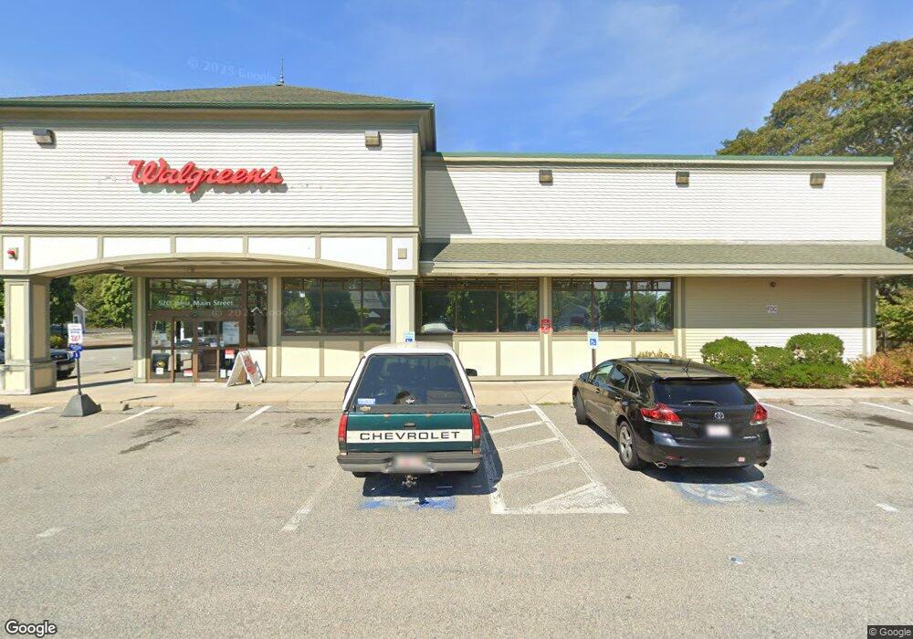
530 W Main St Hyannis, MA 2601
Estimated Value: $6,300,163
6
Beds
1
Bath
10,000
Sq Ft
$630/Sq Ft
Est. Value
About This Home
This home is located at 530 W Main St, Hyannis, MA 2601 and is currently estimated at $6,300,163, approximately $630 per square foot. 530 W Main St is a home located in Barnstable County with nearby schools including Hyannis West Elementary School, Barnstable United Elementary School, and Barnstable Intermediate School.
Ownership History
Date
Name
Owned For
Owner Type
Purchase Details
Closed on
Sep 12, 2008
Sold by
Sovereign Ra 2 Llc
Bought by
Cambridge Assoc 1 Lp
Current Estimated Value
Purchase Details
Closed on
Jun 4, 2008
Sold by
Pjc Realty Ma Inc
Bought by
Sovereign Ra 2 Llc
Home Financials for this Owner
Home Financials are based on the most recent Mortgage that was taken out on this home.
Original Mortgage
$1
Interest Rate
6.11%
Mortgage Type
Commercial
Create a Home Valuation Report for This Property
The Home Valuation Report is an in-depth analysis detailing your home's value as well as a comparison with similar homes in the area
Home Values in the Area
Average Home Value in this Area
Purchase History
| Date | Buyer | Sale Price | Title Company |
|---|---|---|---|
| Cambridge Assoc 1 Lp | $2,765,714 | -- | |
| Cambridge Assoc 1 Lp | $2,765,714 | -- | |
| Sovereign Ra 2 Llc | $2,310,000 | -- | |
| Sovereign Ra 2 Llc | $2,310,000 | -- |
Source: Public Records
Mortgage History
| Date | Status | Borrower | Loan Amount |
|---|---|---|---|
| Previous Owner | Sovereign Ra 2 Llc | $1 | |
| Previous Owner | Sovereign Ra 2 Llc | $290,000 |
Source: Public Records
Tax History Compared to Growth
Tax History
| Year | Tax Paid | Tax Assessment Tax Assessment Total Assessment is a certain percentage of the fair market value that is determined by local assessors to be the total taxable value of land and additions on the property. | Land | Improvement |
|---|---|---|---|---|
| 2025 | $26,199 | $2,665,200 | $433,800 | $2,231,400 |
| 2024 | $25,738 | $2,639,800 | $433,800 | $2,206,000 |
| 2023 | $27,992 | $2,663,400 | $433,800 | $2,229,600 |
| 2022 | $30,808 | $2,406,900 | $365,100 | $2,041,800 |
| 2021 | $31,084 | $2,428,400 | $365,100 | $2,063,300 |
| 2020 | $21,001 | $1,595,800 | $270,200 | $1,325,600 |
| 2019 | $21,543 | $1,595,800 | $270,200 | $1,325,600 |
| 2018 | $20,258 | $1,558,300 | $270,200 | $1,288,100 |
| 2017 | $19,603 | $1,558,300 | $270,200 | $1,288,100 |
| 2016 | $19,136 | $1,558,300 | $270,200 | $1,288,100 |
| 2015 | $16,156 | $1,346,300 | $259,700 | $1,086,600 |
Source: Public Records
Map
Nearby Homes
- 31 Tevyaw Rd
- 19 Tevyaw Rd
- 29 Lincoln Rd
- 0 Lincoln Way L:3a Unit 71165420
- 1 Lincoln Rd
- 25 Lincoln Rd
- 28 Tevyaw Rd
- 34 Lincoln Rd
- 20 Tevyaw Rd
- 45 Tevyaw Rd
- 34 Tevyaw Rd
- 44 Tevyaw Rd
- 44 Tevyaw Rd Unit 2
- 44 Tevyaw Rd Unit 44A
- 488 Shoppers Ln
- 44 Arbeta Rd
- 59 Tevyaw Rd
- 560 W Main St
- 54 Tevyaw Rd
- 39 Ellis Dr