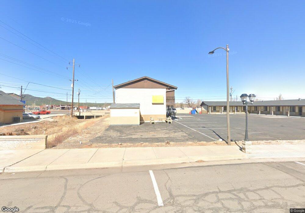
530 W Route 66 Williams, AZ 86046
Estimated Value: $510,000 - $579,000
--
Bed
--
Bath
1,995
Sq Ft
$274/Sq Ft
Est. Value
About This Home
This home is located at 530 W Route 66, Williams, AZ 86046 and is currently estimated at $547,578, approximately $274 per square foot. 530 W Route 66 is a home located in Coconino County with nearby schools including Williams Elementary/Middle School, Williams High School, and Heritage Elementary - Williams.
Ownership History
Date
Name
Owned For
Owner Type
Purchase Details
Closed on
Oct 4, 2019
Sold by
Patel Dixitbhai M and Patel Meenaben J
Bought by
Quiriarte Margaret
Current Estimated Value
Home Financials for this Owner
Home Financials are based on the most recent Mortgage that was taken out on this home.
Original Mortgage
$374,900
Outstanding Balance
$329,763
Interest Rate
3.7%
Mortgage Type
VA
Estimated Equity
$217,815
Purchase Details
Closed on
Apr 1, 2008
Sold by
Brown Joe E and Brown Barbara G
Bought by
Patel Dixitbhai M and Patel Meenaben J
Home Financials for this Owner
Home Financials are based on the most recent Mortgage that was taken out on this home.
Original Mortgage
$248,000
Interest Rate
6.04%
Mortgage Type
Seller Take Back
Purchase Details
Closed on
Mar 28, 2006
Sold by
Wells Cecil G
Bought by
Brown Joe E and Brown Barbara G
Create a Home Valuation Report for This Property
The Home Valuation Report is an in-depth analysis detailing your home's value as well as a comparison with similar homes in the area
Home Values in the Area
Average Home Value in this Area
Purchase History
| Date | Buyer | Sale Price | Title Company |
|---|---|---|---|
| Quiriarte Margaret | $374,900 | Clear Ttl Agcy Of Flagstaff | |
| Patel Dixitbhai M | $348,000 | Transnation Title Ins Co | |
| Brown Joe E | $99,900 | Pioneer Title Agency Inc |
Source: Public Records
Mortgage History
| Date | Status | Borrower | Loan Amount |
|---|---|---|---|
| Open | Quiriarte Margaret | $374,900 | |
| Previous Owner | Patel Dixitbhai M | $248,000 |
Source: Public Records
Tax History Compared to Growth
Tax History
| Year | Tax Paid | Tax Assessment Tax Assessment Total Assessment is a certain percentage of the fair market value that is determined by local assessors to be the total taxable value of land and additions on the property. | Land | Improvement |
|---|---|---|---|---|
| 2025 | $2,032 | $47,769 | -- | -- |
| 2024 | $2,032 | $46,148 | -- | -- |
| 2023 | $1,853 | $36,716 | $0 | $0 |
| 2022 | $1,853 | $33,715 | $0 | $0 |
| 2021 | $1,804 | $32,609 | $0 | $0 |
| 2020 | $1,763 | $31,220 | $0 | $0 |
| 2019 | $2,115 | $28,132 | $0 | $0 |
| 2018 | $2,047 | $24,556 | $0 | $0 |
| 2017 | $2,005 | $23,252 | $0 | $0 |
| 2016 | $1,900 | $19,948 | $0 | $0 |
| 2015 | $1,491 | $18,845 | $0 | $0 |
Source: Public Records
Map
Nearby Homes
- 304 S 4th St
- 407 S 7th St
- 411 S 6th St
- 215 W Hancock Ave
- 106 W Sherman Ave
- 00 W Fulton Ave
- 1011 W Sheridan Ave
- 500 W Meade Ave
- 1021 W Sheridan Ave
- 530 W Mcpherson Ave
- 412 S 1st St
- 1030 W Hancock Ave
- 911 W Oak St
- 165 Pinecrest Trail
- 1111 W Sheridan Ave
- 509 S 11th St
- 500 Grand Canyon Ave
- 277 Pinecrest Trail Unit 59
- 733 S 3rd St
- 201 S Slagel St
- 101 N 5th St
- 953 & 975 W Route 66
- 0 N 5th St Unit 118877
- 0 N 5th St Unit 149755
- 533 W Route 66
- 624 W Route 66
- 442 W Route 66
- 428 W Route 66
- 111 S 6th St
- 437 W Route 66
- 112 S 5th St
- 107 S 5th St
- 427 W Route 66
- 116 S 5th St
- 425 W Route 66
- 9045 W Route 66
- 0 N Seventh
- 516 W Grant Ave
- 420 W Route 66
- 510 W Grant Ave