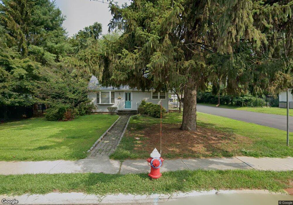
530 Westwood Ave Rivervale, NJ 07675
Estimated Value: $611,000 - $734,000
--
Bed
--
Bath
1,152
Sq Ft
$574/Sq Ft
Est. Value
About This Home
This home is located at 530 Westwood Ave, Rivervale, NJ 07675 and is currently estimated at $660,847, approximately $573 per square foot. 530 Westwood Ave is a home located in Bergen County with nearby schools including Pascack Valley High School, Primoris Academy, and St. John's Academy.
Ownership History
Date
Name
Owned For
Owner Type
Purchase Details
Closed on
Oct 16, 2000
Bought by
Defilippo John J
Current Estimated Value
Home Financials for this Owner
Home Financials are based on the most recent Mortgage that was taken out on this home.
Original Mortgage
$100,000
Outstanding Balance
$36,391
Interest Rate
7.89%
Estimated Equity
$624,456
Create a Home Valuation Report for This Property
The Home Valuation Report is an in-depth analysis detailing your home's value as well as a comparison with similar homes in the area
Home Values in the Area
Average Home Value in this Area
Purchase History
| Date | Buyer | Sale Price | Title Company |
|---|---|---|---|
| Defilippo John J | -- | -- | |
| Defilippo John J | -- | -- |
Source: Public Records
Mortgage History
| Date | Status | Borrower | Loan Amount |
|---|---|---|---|
| Open | Defilippo John J | $100,000 | |
| Closed | Defilippo John J | $100,000 |
Source: Public Records
Tax History Compared to Growth
Tax History
| Year | Tax Paid | Tax Assessment Tax Assessment Total Assessment is a certain percentage of the fair market value that is determined by local assessors to be the total taxable value of land and additions on the property. | Land | Improvement |
|---|---|---|---|---|
| 2025 | $10,386 | $380,300 | $244,100 | $136,200 |
| 2024 | $10,321 | $380,300 | $244,100 | $136,200 |
| 2023 | $10,059 | $380,300 | $244,100 | $136,200 |
| 2022 | $10,059 | $380,300 | $244,100 | $136,200 |
| 2021 | $9,823 | $380,300 | $244,100 | $136,200 |
| 2020 | $9,937 | $380,300 | $244,100 | $136,200 |
| 2019 | $9,709 | $380,300 | $244,100 | $136,200 |
| 2018 | $9,603 | $380,300 | $244,100 | $136,200 |
| 2017 | $9,462 | $380,300 | $244,100 | $136,200 |
| 2016 | $9,192 | $380,300 | $244,100 | $136,200 |
| 2015 | $8,929 | $380,300 | $244,100 | $136,200 |
| 2014 | $8,640 | $380,300 | $244,100 | $136,200 |
Source: Public Records
Map
Nearby Homes
- 229 William St
- 502 Westwood Ave
- 75 Bergen St
- 17 Lewis Place
- 11 Park Place
- 30 Homestead St
- 20 Lewis Place
- 149 Brookside Ave
- 19 Lexington Ave
- 258 Rivervale Rd
- 271 Collignon Way
- 271 Collignon Way Unit 8B
- 271 Collignon Way Unit 4A
- 25 Crest St Unit 206
- 57 Crosley Terrace
- 430 Kinderkamack Rd
- 9 Appeld Ct
- 485 Kinderkamack Rd
- 515 Broadway
- 722 Wilson Ct
- 205 Fondiller St
- 526 Westwood Ave
- 526 Westwood Ave
- 517 Bryant Place
- 515 Bryant Place
- 536 Westwood Ave
- 522 Westwood Ave
- 208 Fondiller St
- 531 Westwood Ave
- 520 Westwood Ave
- 525 Westwood Ave
- 210 Fondiller St
- 527 Westwood Ave
- 529 Westwood Ave
- 511 Bryant Place
- 540 Westwood Ave
- 533 Westwood Ave
- 521 Westwood Ave
- 537 Bryant Place
- 509 Bryant Place