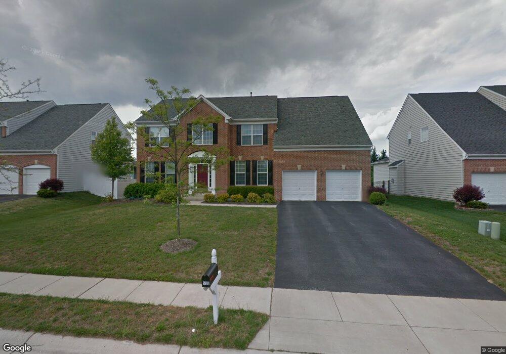
530 Wet Sand Dr Severn, MD 21144
Estimated Value: $755,938 - $807,000
--
Bed
4
Baths
3,371
Sq Ft
$233/Sq Ft
Est. Value
About This Home
This home is located at 530 Wet Sand Dr, Severn, MD 21144 and is currently estimated at $784,235, approximately $232 per square foot. 530 Wet Sand Dr is a home located in Anne Arundel County with nearby schools including Oakwood Elementary School, Corkran Middle School, and Glen Burnie High School.
Ownership History
Date
Name
Owned For
Owner Type
Purchase Details
Closed on
Mar 29, 2005
Sold by
Setser Barry
Bought by
Setser Maryam A
Current Estimated Value
Home Financials for this Owner
Home Financials are based on the most recent Mortgage that was taken out on this home.
Original Mortgage
$335,000
Outstanding Balance
$170,962
Interest Rate
5.61%
Mortgage Type
New Conventional
Estimated Equity
$613,273
Purchase Details
Closed on
Jan 15, 2004
Sold by
Beazer Homes Corp
Bought by
Setser Barry and Setser Maryam
Create a Home Valuation Report for This Property
The Home Valuation Report is an in-depth analysis detailing your home's value as well as a comparison with similar homes in the area
Home Values in the Area
Average Home Value in this Area
Purchase History
| Date | Buyer | Sale Price | Title Company |
|---|---|---|---|
| Setser Maryam A | -- | -- | |
| Setser Barry | $456,500 | -- |
Source: Public Records
Mortgage History
| Date | Status | Borrower | Loan Amount |
|---|---|---|---|
| Open | Setser Maryam A | $335,000 | |
| Closed | Setser Barry | -- |
Source: Public Records
Tax History Compared to Growth
Tax History
| Year | Tax Paid | Tax Assessment Tax Assessment Total Assessment is a certain percentage of the fair market value that is determined by local assessors to be the total taxable value of land and additions on the property. | Land | Improvement |
|---|---|---|---|---|
| 2025 | $6,843 | $641,700 | $194,700 | $447,000 |
| 2024 | $6,843 | $612,100 | $0 | $0 |
| 2023 | $6,653 | $582,500 | $0 | $0 |
| 2022 | $6,208 | $552,900 | $179,700 | $373,200 |
| 2021 | $12,346 | $549,533 | $0 | $0 |
| 2020 | $6,100 | $546,167 | $0 | $0 |
| 2019 | $6,054 | $542,800 | $154,200 | $388,600 |
| 2018 | $5,388 | $531,400 | $0 | $0 |
| 2017 | $5,682 | $520,000 | $0 | $0 |
| 2016 | -- | $508,600 | $0 | $0 |
| 2015 | -- | $505,733 | $0 | $0 |
| 2014 | -- | $502,867 | $0 | $0 |
Source: Public Records
Map
Nearby Homes
- 544 Wet Sand Dr
- 8108 Quarterfield Farms Dr
- 503 S Farm Crossing Rd
- 8155 Ridgely Loop
- 910 Wagner Farm Ct
- 884 Oakdale Cir
- 8118 Quarterfield Road - Sussex K Model
- 716 Wagner Farm Rd
- 8218 Daniels Purchase Way
- 725 Blackhorse Trail
- 931 Oakdale Cir
- 8209 Whitebark Ln
- 8244 Roanoke Ct
- 720 Hyde Park Dr
- 618 Sprite Way
- 802 Lucky Rd
- 7965 Quail Ct
- 8285 Wb And a Rd
- 1207 Thompson Ave
- Easton Plan at The Willows
- 532 Wet Sand Dr
- 534 Wet Sand Dr
- 528 Wet Sand Dr
- 536 Wet Sand Dr
- 8219 Grainfield Rd
- 8221 Grainfield Rd
- 527 Wet Sand Dr
- 531 Wet Sand Dr
- 529 Wet Sand Dr
- 8217 Grainfield Rd
- 526 Wet Sand Dr
- 8223 Grainfield Rd
- 533 Wet Sand Dr
- 538 Wet Sand Dr
- 8215 Grainfield Rd
- 8225 Grainfield Rd
- 8301 Banister Rd
- 535 Wet Sand Dr
- 524 Wet Sand Dr
- 8213 Grainfield Rd