5300 SE Burning Tree Cir Stuart, FL 34997
Estimated Value: $665,000 - $726,000
3
Beds
3
Baths
2,462
Sq Ft
$286/Sq Ft
Est. Value
About This Home
This home is located at 5300 SE Burning Tree Cir, Stuart, FL 34997 and is currently estimated at $703,216, approximately $285 per square foot. 5300 SE Burning Tree Cir is a home located in Martin County with nearby schools including Sea Wind Elementary School, Murray Middle School, and South Fork High School.
Ownership History
Date
Name
Owned For
Owner Type
Purchase Details
Closed on
Aug 9, 2017
Sold by
Thorsen Deborah Lynn
Bought by
Thorsen Deborah Lynn and Deborah Lynn Thorsen Living Trust
Current Estimated Value
Purchase Details
Closed on
Jun 28, 2010
Sold by
Brabenec Anna J and Brabenec Paul J
Bought by
Thorsen Deborah L
Home Financials for this Owner
Home Financials are based on the most recent Mortgage that was taken out on this home.
Original Mortgage
$251,611
Outstanding Balance
$173,586
Interest Rate
5.5%
Mortgage Type
FHA
Estimated Equity
$529,630
Purchase Details
Closed on
Jul 5, 2000
Sold by
Scherer William N and Scherer Marian L
Bought by
Thorsen Deborah L
Purchase Details
Closed on
Dec 29, 1988
Bought by
Thorsen Deborah L
Create a Home Valuation Report for This Property
The Home Valuation Report is an in-depth analysis detailing your home's value as well as a comparison with similar homes in the area
Home Values in the Area
Average Home Value in this Area
Purchase History
| Date | Buyer | Sale Price | Title Company |
|---|---|---|---|
| Thorsen Deborah Lynn | -- | Attorney | |
| Thorsen Deborah L | $255,000 | Attorney | |
| Thorsen Deborah L | $205,000 | -- | |
| Thorsen Deborah L | $242,500 | -- |
Source: Public Records
Mortgage History
| Date | Status | Borrower | Loan Amount |
|---|---|---|---|
| Open | Thorsen Deborah L | $251,611 |
Source: Public Records
Tax History
| Year | Tax Paid | Tax Assessment Tax Assessment Total Assessment is a certain percentage of the fair market value that is determined by local assessors to be the total taxable value of land and additions on the property. | Land | Improvement |
|---|---|---|---|---|
| 2025 | $4,343 | $286,851 | -- | -- |
| 2024 | $4,249 | $278,767 | -- | -- |
| 2023 | $4,249 | $270,648 | $0 | $0 |
| 2022 | $4,095 | $262,766 | $0 | $0 |
| 2021 | $4,097 | $255,113 | $0 | $0 |
| 2020 | $3,994 | $251,591 | $0 | $0 |
| 2019 | $3,929 | $245,933 | $0 | $0 |
| 2018 | $3,831 | $241,348 | $0 | $0 |
| 2017 | $3,298 | $236,384 | $0 | $0 |
| 2016 | $3,562 | $231,522 | $0 | $0 |
| 2015 | $3,380 | $229,914 | $0 | $0 |
| 2014 | $3,380 | $227,911 | $0 | $0 |
Source: Public Records
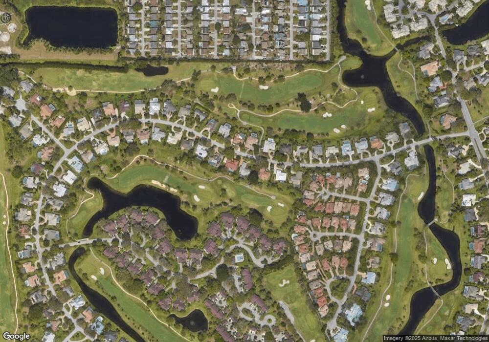
Map
Nearby Homes
- 5361 SE Merion Way
- 5311 SE Brandywine Way Unit 28
- 5382 SE Meredith Terrace
- 5011 SE Brandywine Way
- 5071 SE Brandywine Way Unit 8
- 5402 SE Meredith Terrace
- 5220 SE Burning Tree Cir
- 6433 SE Brandywine Ct Unit 219
- 6403 SE Brandywine Ct Unit 223
- 6404 SE Brandywine Ct Unit 104
- 5201 SE Burning Tree Cir
- 5929 SE Collins Ave
- 5879 SE Wilsie Dr
- 5855 SE Mitzi Ln
- 5662 SE Foxcross Place Unit 5662
- 5661 SE Foxcross Place
- 6061 SE Medinah Ln
- 5151 SE Burning Tree Cir
- 5253 SE Club Way
- 5143 SE Club Way
- 5290 SE Burning Tree Cir
- 5310 SE Burning Tree Cir
- 5280 SE Burning Tree Cir
- 5291 SE Burning Tree Cir
- 5311 SE Burning Tree Cir
- 5320 SE Burning Tree Cir
- 5281 SE Burning Tree Cir
- 5321 SE Burning Tree Cir
- 5270 SE Burning Tree Cir
- 5330 SE Burning Tree Cir
- 5271 SE Burning Tree Cir
- 5331 SE Burning Tree Cir
- 5260 SE Burning Tree Cir
- 5360 SE Merion Way
- 5281 SE Brandywine Way Unit 25
- 5331 SE Brandywine Way Unit 5331
- 5321 SE Brandywine Way Unit 5321
- 5271 SE Brandywine Way Unit 24
- 5331 SE Brandywine Way Unit 30
- 5321 SE Brandywine Way Unit 29