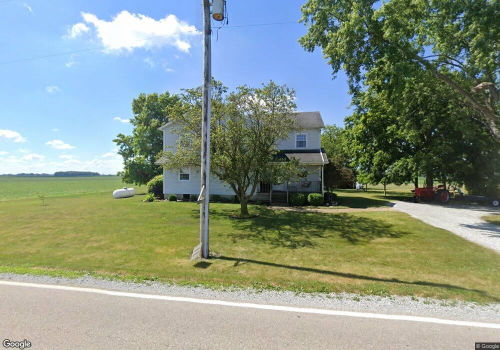
5300 W Farrington Rd Covington, OH 45318
Estimated Value: $278,639 - $337,000
7
Beds
1
Bath
3,070
Sq Ft
$100/Sq Ft
Est. Value
About This Home
This home is located at 5300 W Farrington Rd, Covington, OH 45318 and is currently estimated at $305,660, approximately $99 per square foot. 5300 W Farrington Rd is a home with nearby schools including Covington Elementary/Junior High School, Covington Junior High School, and Covington High School.
Ownership History
Date
Name
Owned For
Owner Type
Purchase Details
Closed on
Mar 30, 2016
Sold by
Schaurer Cahrlene S
Bought by
Burns Anthony A and Burns Ashley R
Current Estimated Value
Home Financials for this Owner
Home Financials are based on the most recent Mortgage that was taken out on this home.
Original Mortgage
$110,000
Outstanding Balance
$67,992
Interest Rate
3.64%
Mortgage Type
New Conventional
Estimated Equity
$237,668
Purchase Details
Closed on
Feb 4, 1993
Bought by
Schaurer Marlin
Create a Home Valuation Report for This Property
The Home Valuation Report is an in-depth analysis detailing your home's value as well as a comparison with similar homes in the area
Home Values in the Area
Average Home Value in this Area
Purchase History
| Date | Buyer | Sale Price | Title Company |
|---|---|---|---|
| Burns Anthony A | $170,000 | Attorney | |
| Schaurer Marlin | -- | -- |
Source: Public Records
Mortgage History
| Date | Status | Borrower | Loan Amount |
|---|---|---|---|
| Open | Burns Anthony A | $110,000 |
Source: Public Records
Tax History Compared to Growth
Tax History
| Year | Tax Paid | Tax Assessment Tax Assessment Total Assessment is a certain percentage of the fair market value that is determined by local assessors to be the total taxable value of land and additions on the property. | Land | Improvement |
|---|---|---|---|---|
| 2024 | $2,608 | $69,660 | $14,880 | $54,780 |
| 2023 | $2,608 | $69,660 | $14,880 | $54,780 |
| 2022 | $2,360 | $69,660 | $14,880 | $54,780 |
| 2021 | $2,087 | $58,030 | $12,390 | $45,640 |
| 2020 | $2,092 | $58,030 | $12,390 | $45,640 |
| 2019 | $2,103 | $58,030 | $12,390 | $45,640 |
| 2018 | $1,558 | $44,040 | $11,870 | $32,170 |
| 2017 | $1,590 | $44,040 | $11,870 | $32,170 |
| 2016 | $1,742 | $44,040 | $11,870 | $32,170 |
| 2015 | $3,665 | $103,860 | $74,070 | $29,790 |
| 2014 | $3,665 | $103,860 | $74,070 | $29,790 |
| 2013 | $3,685 | $103,860 | $74,070 | $29,790 |
Source: Public Records
Map
Nearby Homes
- 4400 N Washington Rd
- 1725 Dover Ave
- 1715 Dover Ave
- 219 Henry Ct
- 221 Henry Ct
- 207 Charles Ct
- 212 Charles Ct
- 210 Charles Ct
- 205 Charles Ct
- 208 Charles Ct
- 203 Charles Ct
- 206 Charles Ct
- 201 Charles Ct
- 204 Charles Ct
- 200 Charles Ct
- 698 E Broadway St
- 202 Charles Ct
- 271 N Ludlow St
- 1706 Williams Place
- 536 S High St
- 5118 W Farrington Rd
- 5700 W Farrington Rd
- 5737 W Farrington Rd
- 4950 W Bausman Rd
- 6009 W Farrington Rd
- 5150 Holfinger Rd
- 5905 W State Route 41
- 5200 Holfinger Rd
- 5821 W State Route 41
- 5927 W State Route 41
- 5611 W State Route 41
- 5593 W State Route 41
- 4745 W Bausman Rd
- 4745 W Bausman Rd
- 4700 W Bausman Rd
- 5930 W State Route 41
- 5950 W State Route 41
- 5970 W State Route 41
- 5590 W State Route 41
- 5980 W State Route 41