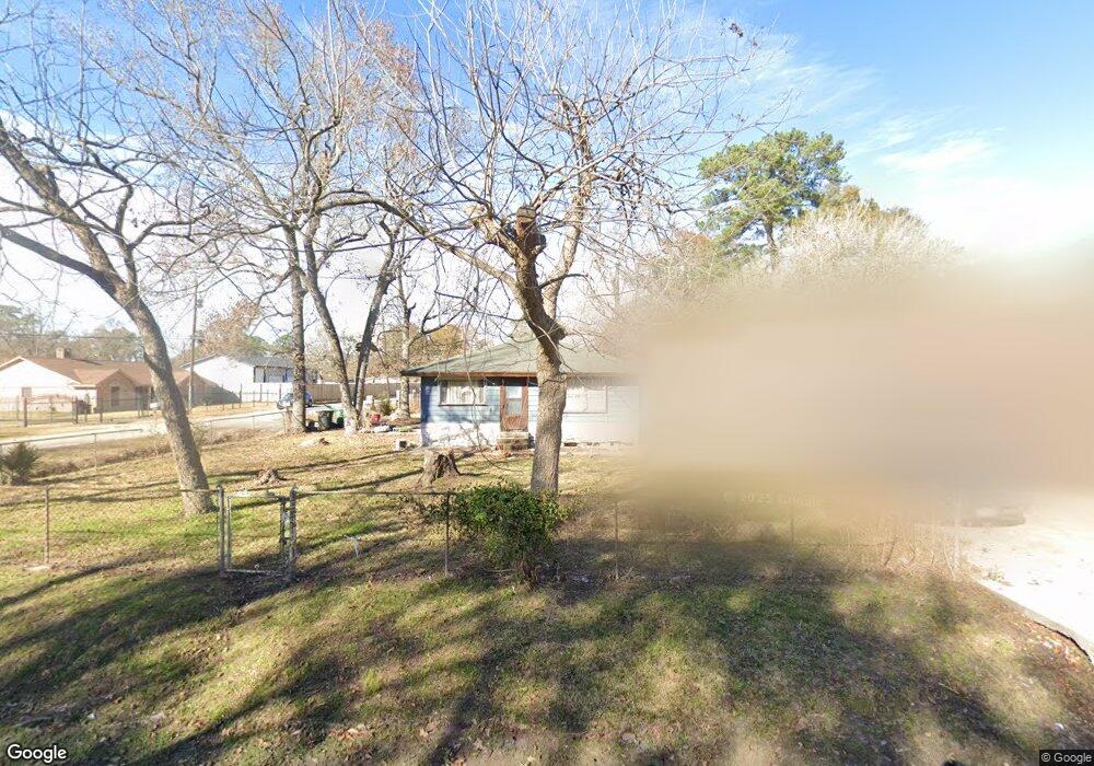
5301 Bretshire Dr Houston, TX 77016
East Little York NeighborhoodEstimated Value: $159,499 - $187,000
2
Beds
2
Baths
1,350
Sq Ft
$127/Sq Ft
Est. Value
About This Home
This home is located at 5301 Bretshire Dr, Houston, TX 77016 and is currently estimated at $171,125, approximately $126 per square foot. 5301 Bretshire Dr is a home located in Harris County with nearby schools including Shadydale Elementary School, Forest Brook Middle, and North Forest High School.
Ownership History
Date
Name
Owned For
Owner Type
Purchase Details
Closed on
May 26, 2017
Sold by
Philips Vicky L
Bought by
Deleon Meri Helen
Current Estimated Value
Purchase Details
Closed on
May 13, 2017
Sold by
Mitchell Lula Mae
Bought by
Phillips Vicky L
Purchase Details
Closed on
Aug 17, 2012
Sold by
Mitchell Lula Mae
Bought by
Phillips Vicky L
Purchase Details
Closed on
Jun 10, 1998
Sold by
Phillips I V
Bought by
Phillips Lula Mae
Create a Home Valuation Report for This Property
The Home Valuation Report is an in-depth analysis detailing your home's value as well as a comparison with similar homes in the area
Home Values in the Area
Average Home Value in this Area
Purchase History
| Date | Buyer | Sale Price | Title Company |
|---|---|---|---|
| Deleon Meri Helen | -- | None Available | |
| Phillips Vicky L | -- | None Available | |
| Phillips Vicky L | -- | None Available | |
| Phillips Lula Mae | -- | None Available |
Source: Public Records
Tax History Compared to Growth
Tax History
| Year | Tax Paid | Tax Assessment Tax Assessment Total Assessment is a certain percentage of the fair market value that is determined by local assessors to be the total taxable value of land and additions on the property. | Land | Improvement |
|---|---|---|---|---|
| 2025 | $990 | $123,323 | $60,792 | $62,531 |
| 2024 | $990 | $123,323 | $60,792 | $62,531 |
| 2023 | $843 | $112,671 | $37,548 | $75,123 |
| 2022 | $1,834 | $86,512 | $23,780 | $62,732 |
| 2021 | $1,765 | $78,279 | $23,780 | $54,499 |
| 2020 | $1,667 | $68,845 | $18,345 | $50,500 |
| 2019 | $1,677 | $66,257 | $11,973 | $54,284 |
| 2018 | $529 | $20,921 | $12,874 | $8,047 |
| 2017 | $1,141 | $45,137 | $12,874 | $32,263 |
| 2016 | $1,057 | $42,769 | $12,874 | $29,895 |
| 2015 | $605 | $38,019 | $12,874 | $25,145 |
| 2014 | $605 | $38,019 | $12,874 | $25,145 |
Source: Public Records
Map
Nearby Homes
- 5621 Haywood St
- 5123 Francine Ln
- 5413 Glen Nook Dr
- 5418 Parker Rd
- 5130 Farb Dr
- 6001 Bretshire Dr
- 5022 Bretshire Dr
- 10221 Bretton Dr
- 5914 Breland St
- 10434 Envoy St
- 0 Haywood St Unit 63273227
- 5203 Mayle St
- 5125 Mayle St
- 7902 S Lockwood Dr
- 5618 Briarwick Ln
- 9838 Camay Dr
- 10122 Rockaway Dr
- 4809 Edgewater Dr
- 7631 Hirsch Rd
- 10606 Bucknell Rd
- 5305 Bretshire Dr
- 10310 Barnham St
- 10305 Barnham St
- 10301 Bainbridge St
- 10311 Barnham St
- 10309 Bainbridge St
- 10313 Barnham St
- 10318 Barnham St
- 5302 Styling Dr
- 5310 Bretshire Dr
- 5310 Bretshire Dr
- 10317 Bainbridge St
- 10302 Caxton St
- 5306 Styling Dr
- 10306 Caxton St
- 10310 Caxton St
- 10214 Caxton St
- 10321 Bainbridge St
- 10326 Barnham St
- 5310 Styling Dr