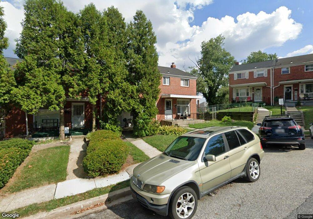
5301 Lothian Rd Baltimore, MD 21212
Kenilworth Park NeighborhoodEstimated Value: $130,138 - $154,000
Studio
1
Bath
1,008
Sq Ft
$141/Sq Ft
Est. Value
About This Home
This home is located at 5301 Lothian Rd, Baltimore, MD 21212 and is currently estimated at $142,069, approximately $140 per square foot. 5301 Lothian Rd is a home located in Baltimore City with nearby schools including Booker T. Washington Middle School, Reginald F. Lewis High School, and Paul Laurence Dunbar High School.
Ownership History
Date
Name
Owned For
Owner Type
Purchase Details
Closed on
Jan 9, 2004
Sold by
Knight Austin Willie Mae
Bought by
Perry Leslie M
Current Estimated Value
Purchase Details
Closed on
Jun 5, 2003
Sold by
Us Bank National Association
Bought by
Knight Austin Willie Mae
Purchase Details
Closed on
Jan 16, 1997
Sold by
Johns Lenora
Bought by
Johns Lenora
Create a Home Valuation Report for This Property
The Home Valuation Report is an in-depth analysis detailing your home's value as well as a comparison with similar homes in the area
Home Values in the Area
Average Home Value in this Area
Purchase History
| Date | Buyer | Sale Price | Title Company |
|---|---|---|---|
| Perry Leslie M | $76,000 | -- | |
| Knight Austin Willie Mae | $43,500 | -- | |
| Us Bank National Association | $31,500 | -- | |
| Johns Lenora | -- | -- |
Source: Public Records
Tax History
| Year | Tax Paid | Tax Assessment Tax Assessment Total Assessment is a certain percentage of the fair market value that is determined by local assessors to be the total taxable value of land and additions on the property. | Land | Improvement |
|---|---|---|---|---|
| 2025 | $1,735 | $86,867 | -- | -- |
| 2024 | $1,735 | $83,100 | $12,000 | $71,100 |
| 2023 | $1,853 | $79,600 | $0 | $0 |
| 2022 | $1,585 | $76,100 | $0 | $0 |
| 2021 | $1,713 | $72,600 | $12,000 | $60,600 |
| 2020 | $1,475 | $69,900 | $0 | $0 |
| 2019 | $1,404 | $67,200 | $0 | $0 |
| 2018 | $1,391 | $64,500 | $12,000 | $52,500 |
| 2017 | $1,408 | $64,500 | $0 | $0 |
| 2016 | $1,654 | $64,500 | $0 | $0 |
| 2015 | $1,654 | $83,300 | $0 | $0 |
| 2014 | $1,654 | $83,300 | $0 | $0 |
Source: Public Records
Map
Nearby Homes
- 5315 Midwood Ave
- 5302 Saint Georges Ave
- 812 Mccabe Ave
- 804 Mccabe Ave
- 5204 Ivanhoe Ave
- 5506 Midwood Ave
- 5516 Midwood Ave
- 705 Woodbourne Ave
- 1101 Woodbourne Ave
- 5320 The Alameda
- 601 Woodbourne Ave
- 5107 Midwood Ave
- 1018 Cameron Rd
- 1200 Woodbourne Ave
- 608 Tunbridge Rd
- 530 Sheridan Ave
- 5120 The Alameda
- 526 Sheridan Ave
- 505 Mccabe Ave
- 5019 Midwood Ave
- 5303 Lothian Rd
- 839 Sheridan Ave
- 5305 Lothian Rd
- 837 Sheridan Ave
- 5307 Lothian Rd
- 835 Sheridan Ave
- 5309 Lothian Rd
- 5316 Midwood Ave
- 5314 Midwood Ave
- 5318 Midwood Ave
- 5311 Lothian Rd
- 5312 Midwood Ave
- 833 Sheridan Ave
- 5320 Midwood Ave
- 5313 Lothian Rd
- 5310 Midwood Ave
- 831 Sheridan Ave
- 5315 Lothian Rd
- 5322 Midwood Ave
- 5308 Midwood Ave
Your Personal Tour Guide
Ask me questions while you tour the home.