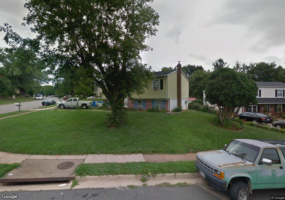
5301 Mansfield Ct Woodbridge, VA 22193
Mapledale NeighborhoodEstimated Value: $472,000 - $508,000
3
Beds
2
Baths
1,026
Sq Ft
$475/Sq Ft
Est. Value
About This Home
This home is located at 5301 Mansfield Ct, Woodbridge, VA 22193 and is currently estimated at $486,988, approximately $474 per square foot. 5301 Mansfield Ct is a home located in Prince William County with nearby schools including Rosa Parks Elementary School, C.D. Hylton High School, and Stuart M. Beville Middle School.
Ownership History
Date
Name
Owned For
Owner Type
Purchase Details
Closed on
Apr 13, 1999
Sold by
Secty Of H U D
Bought by
Dominquez Juan Flores
Current Estimated Value
Home Financials for this Owner
Home Financials are based on the most recent Mortgage that was taken out on this home.
Original Mortgage
$104,350
Outstanding Balance
$26,379
Interest Rate
7.02%
Estimated Equity
$460,609
Create a Home Valuation Report for This Property
The Home Valuation Report is an in-depth analysis detailing your home's value as well as a comparison with similar homes in the area
Home Values in the Area
Average Home Value in this Area
Purchase History
| Date | Buyer | Sale Price | Title Company |
|---|---|---|---|
| Dominquez Juan Flores | $105,000 | -- |
Source: Public Records
Mortgage History
| Date | Status | Borrower | Loan Amount |
|---|---|---|---|
| Open | Dominquez Juan Flores | $104,350 |
Source: Public Records
Tax History Compared to Growth
Tax History
| Year | Tax Paid | Tax Assessment Tax Assessment Total Assessment is a certain percentage of the fair market value that is determined by local assessors to be the total taxable value of land and additions on the property. | Land | Improvement |
|---|---|---|---|---|
| 2025 | $4,003 | $437,800 | $145,000 | $292,800 |
| 2024 | $4,003 | $402,500 | $135,000 | $267,500 |
| 2023 | $4,055 | $389,700 | $132,200 | $257,500 |
| 2022 | $4,235 | $372,100 | $122,400 | $249,700 |
| 2021 | $4,190 | $340,800 | $110,200 | $230,600 |
| 2020 | $4,636 | $299,100 | $103,900 | $195,200 |
| 2019 | $4,586 | $295,900 | $99,900 | $196,000 |
| 2018 | $3,389 | $280,700 | $97,000 | $183,700 |
| 2017 | $3,273 | $262,200 | $91,500 | $170,700 |
| 2016 | $3,142 | $253,800 | $88,900 | $164,900 |
| 2015 | $2,890 | $242,200 | $85,900 | $156,300 |
| 2014 | $2,890 | $227,800 | $83,500 | $144,300 |
Source: Public Records
Map
Nearby Homes
- 14010 Mapledale Ave
- 13732 Moccasin Ct
- 13737 Moccasin Ct
- 5308 Macwood Dr
- 5655 Roundtree Dr
- 13871 Langstone Dr
- 13918 Lynhurst Dr
- 5678 Roundtree Dr
- 5611 Roundtree Dr
- 14160 Landon Ln
- 14072 Oxbridge Inn Ct
- 5710 Rhode Island Dr
- 14288 Lindendale Rd
- 5207 Quiet Place
- 13441 Kerr Ct
- 14371 Salsbury Ct
- 4690 Pearson Dr
- 14591 Estate Dr
- 14368 Springbrook Ct
- 13501 Photo Dr
- 13823 Mapledale Ave
- 5299 Mansfield Ct
- 13825 Mapledale Ave
- 5296 Mansfield Ct
- 5297 Mansfield Ct
- 5351 Mansfield Ct
- 13818 Mapledale Ave
- 13846 Meadowbrook Rd
- 13842 Meadowbrook Rd
- 13820 Mapledale Ave
- 13848 Meadowbrook Rd
- 5295 Mansfield Ct
- 13815 Mapledale Ave
- 5294 Mansfield Ct
- 5350 Mansfield Ct
- 13840 Meadowbrook Rd
- 13850 Meadowbrook Rd
- 13838 Meadowbrook Rd
- 5353 Mansfield Ct
- 5293 Mansfield Ct