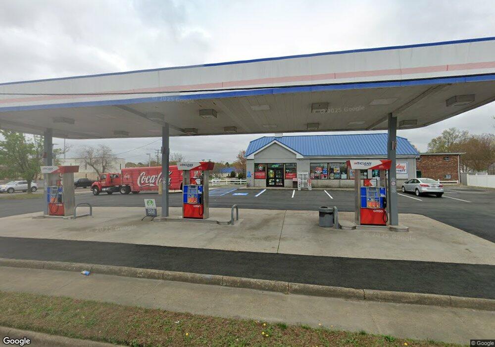
5301 Princess Anne Rd Virginia Beach, VA 23462
Estimated Value: $1,520,013
--
Bed
--
Bath
1,710
Sq Ft
$889/Sq Ft
Est. Value
About This Home
This home is located at 5301 Princess Anne Rd, Virginia Beach, VA 23462 and is currently estimated at $1,520,013, approximately $888 per square foot. 5301 Princess Anne Rd is a home located in Virginia Beach City with nearby schools including Arrowhead Elementary School, Larkspur Middle School, and Kempsville High School.
Ownership History
Date
Name
Owned For
Owner Type
Purchase Details
Closed on
Aug 27, 2010
Sold by
Supreme Petroleum Inc
Bought by
Dhruhi Real Estate Llc
Current Estimated Value
Home Financials for this Owner
Home Financials are based on the most recent Mortgage that was taken out on this home.
Original Mortgage
$450,000
Outstanding Balance
$297,643
Interest Rate
4.55%
Mortgage Type
Commercial
Estimated Equity
$1,222,370
Create a Home Valuation Report for This Property
The Home Valuation Report is an in-depth analysis detailing your home's value as well as a comparison with similar homes in the area
Home Values in the Area
Average Home Value in this Area
Purchase History
| Date | Buyer | Sale Price | Title Company |
|---|---|---|---|
| Dhruhi Real Estate Llc | $850,000 | -- |
Source: Public Records
Mortgage History
| Date | Status | Borrower | Loan Amount |
|---|---|---|---|
| Open | Dhruhi Real Estate Llc | $450,000 |
Source: Public Records
Tax History Compared to Growth
Tax History
| Year | Tax Paid | Tax Assessment Tax Assessment Total Assessment is a certain percentage of the fair market value that is determined by local assessors to be the total taxable value of land and additions on the property. | Land | Improvement |
|---|---|---|---|---|
| 2025 | $5,189 | $535,600 | $327,400 | $208,200 |
| 2024 | $5,189 | $534,900 | $327,400 | $207,500 |
| 2023 | $5,085 | $513,600 | $327,400 | $186,200 |
| 2022 | $5,108 | $516,000 | $327,400 | $188,600 |
| 2021 | $5,231 | $528,400 | $327,400 | $201,000 |
| 2020 | $5,351 | $525,900 | $327,400 | $198,500 |
| 2019 | $5,672 | $563,900 | $350,900 | $213,000 |
| 2018 | $5,653 | $563,900 | $350,900 | $213,000 |
| 2017 | $5,305 | $529,200 | $304,100 | $225,100 |
| 2016 | $4,672 | $471,900 | $274,800 | $197,100 |
| 2015 | $4,716 | $476,400 | $274,800 | $201,600 |
| 2014 | $4,333 | $467,400 | $261,100 | $206,300 |
Source: Public Records
Map
Nearby Homes
- 325 Busher Rd
- 5375 Palmyra Ct
- 5213 Rolleston Dr
- 405 Count Fleet Cir
- 5424 Susquehanna Dr
- 137 S Parliament Dr
- 125 S Parliament Dr
- 245 Mannings Ln
- 5025 Clairmont Ct
- 227 Mannings Ln
- 5015 Dunderdale Ct
- 700 Achilles Ct
- 670 Lord Dunmore Dr
- 685 Lord Dunmore Dr
- 5002 Glen Canyon Dr
- 5017 Lansglen Ct
- 424 Hartsdale Rd
- 4884 Woods Edge Rd
- 5050 Glen Canyon Dr
- 4824 Ledura Rd
- 405 S Parliament Dr
- 5309 Princess Anne Rd
- 5308 Sir Barton Dr
- 5313 Princess Anne Rd
- 5312 Sir Barton Dr
- 5308 Princess Anne Rd
- 5301 Sir Barton Dr
- 5317 Princess Anne Rd
- 5293 Princess Anne Rd
- 5309 Sir Barton Dr
- 5316 Sir Barton Dr
- 404 S Parliament Dr Unit 104
- 404 S Parliament Dr
- 5300 Princess Anne Rd
- 5288 Princess Anne Rd
- 5313 Sir Barton Dr
- 5321 Princess Anne Rd
- 5316 Princess Anne Rd
- 417 S Parliament Dr
- 328 S Parliament Dr