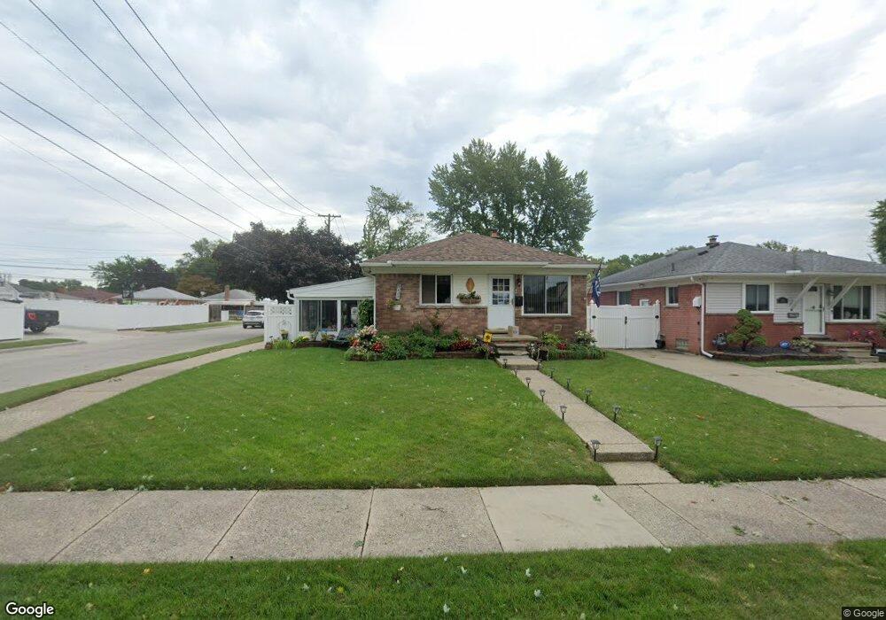
5301 Westpoint St Dearborn Heights, MI 48125
Estimated Value: $155,000 - $199,000
3
Beds
1
Bath
894
Sq Ft
$203/Sq Ft
Est. Value
About This Home
This home is located at 5301 Westpoint St, Dearborn Heights, MI 48125 and is currently estimated at $181,246, approximately $202 per square foot. 5301 Westpoint St is a home located in Wayne County with nearby schools including Polk Elementary School, Bedford School, and Pardee School.
Ownership History
Date
Name
Owned For
Owner Type
Purchase Details
Closed on
Aug 29, 2006
Sold by
Hsbc Bank Usa
Bought by
Booth Joseph A
Current Estimated Value
Purchase Details
Closed on
Dec 1, 2005
Sold by
Zalghout Ali
Bought by
Hsbc Bank Usa and Hsbc Mortgage Services
Purchase Details
Closed on
May 12, 2005
Sold by
Kassem Hussein K
Bought by
Zalghout Ali
Purchase Details
Closed on
Dec 26, 2000
Sold by
Kesler Rebecca A
Bought by
Kassem Hussein K
Create a Home Valuation Report for This Property
The Home Valuation Report is an in-depth analysis detailing your home's value as well as a comparison with similar homes in the area
Home Values in the Area
Average Home Value in this Area
Purchase History
| Date | Buyer | Sale Price | Title Company |
|---|---|---|---|
| Booth Joseph A | $100,000 | Tri County Title Agency Inc | |
| Hsbc Bank Usa | $113,620 | None Available | |
| Zalghout Ali | $150,000 | American Premier Title Agenc | |
| Kassem Hussein K | $104,000 | -- |
Source: Public Records
Tax History Compared to Growth
Tax History
| Year | Tax Paid | Tax Assessment Tax Assessment Total Assessment is a certain percentage of the fair market value that is determined by local assessors to be the total taxable value of land and additions on the property. | Land | Improvement |
|---|---|---|---|---|
| 2025 | $1,517 | $88,900 | $0 | $0 |
| 2024 | $1,517 | $81,500 | $0 | $0 |
| 2023 | $1,433 | $70,500 | $0 | $0 |
| 2022 | $1,990 | $61,200 | $0 | $0 |
| 2021 | $1,993 | $54,800 | $0 | $0 |
| 2019 | $1,932 | $45,600 | $0 | $0 |
| 2018 | $1,299 | $40,700 | $0 | $0 |
| 2017 | $1,171 | $37,000 | $0 | $0 |
| 2016 | $1,845 | $34,900 | $0 | $0 |
| 2015 | $3,290 | $32,900 | $0 | $0 |
| 2013 | $3,150 | $32,200 | $0 | $0 |
| 2010 | -- | $42,300 | $0 | $0 |
Source: Public Records
Map
Nearby Homes
- 4901 Cornell St
- 5689 Cornell St
- 24035 Currier St
- 5671 Syracuse St
- 4665 Syracuse St
- 24117 Eton Ave
- 4489 Westpoint St
- 4474 Syracuse St
- 24339 Eton Ave
- 24360 Pennie St
- 5908 Pine St
- 23214 S Brookside Dr
- 24443 Powers Ave
- 4449 Academy St
- 24098 Hopkins St
- 5954 Pine St
- 4459 Parker St
- 24426 Lehigh St
- 22453 Pardee Ct
- 24409 Stanford St
- 5311 Westpoint St
- 5319 Westpoint St
- 5157 Westpoint St
- 5327 Westpoint St
- 5149 Westpoint St
- 5302 Cornell St
- 5312 Cornell St
- 5335 Westpoint St
- 5320 Cornell St
- 5145 Westpoint St
- 5160 Cornell St
- 5328 Cornell St
- 5343 Westpoint St
- 5152 Cornell St
- 5312 Westpoint St
- 5121 Westpoint St
- 5320 Westpoint St
- 5158 Westpoint St
- 5336 Cornell St
- 5144 Cornell St