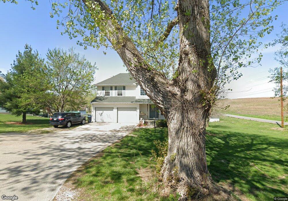
5302 Brookridge Dr Saint Joseph, MO 64503
Estimated Value: $427,791 - $551,000
5
Beds
4
Baths
1,716
Sq Ft
$278/Sq Ft
Est. Value
About This Home
This home is located at 5302 Brookridge Dr, Saint Joseph, MO 64503 and is currently estimated at $476,198, approximately $277 per square foot. 5302 Brookridge Dr is a home located in Buchanan County with nearby schools including Pickett Elementary School, Truman Middle School, and Central High School.
Ownership History
Date
Name
Owned For
Owner Type
Purchase Details
Closed on
Mar 1, 2010
Sold by
Zieger Jeffrey F and Zieger Janet E
Bought by
Bell Bret C and Bell Elizabeth L
Current Estimated Value
Home Financials for this Owner
Home Financials are based on the most recent Mortgage that was taken out on this home.
Original Mortgage
$224,852
Outstanding Balance
$151,024
Interest Rate
5.25%
Mortgage Type
FHA
Estimated Equity
$325,174
Create a Home Valuation Report for This Property
The Home Valuation Report is an in-depth analysis detailing your home's value as well as a comparison with similar homes in the area
Home Values in the Area
Average Home Value in this Area
Purchase History
| Date | Buyer | Sale Price | Title Company |
|---|---|---|---|
| Bell Bret C | -- | First American Title |
Source: Public Records
Mortgage History
| Date | Status | Borrower | Loan Amount |
|---|---|---|---|
| Open | Bell Bret C | $224,852 |
Source: Public Records
Tax History Compared to Growth
Tax History
| Year | Tax Paid | Tax Assessment Tax Assessment Total Assessment is a certain percentage of the fair market value that is determined by local assessors to be the total taxable value of land and additions on the property. | Land | Improvement |
|---|---|---|---|---|
| 2024 | $3,049 | $43,540 | $5,960 | $37,580 |
| 2023 | $3,049 | $43,540 | $5,960 | $37,580 |
| 2022 | $2,822 | $43,540 | $5,960 | $37,580 |
| 2021 | $2,835 | $43,540 | $5,960 | $37,580 |
| 2020 | $2,823 | $43,540 | $5,960 | $37,580 |
| 2019 | $2,777 | $43,540 | $5,960 | $37,580 |
| 2018 | $2,501 | $43,540 | $5,960 | $37,580 |
| 2017 | $2,478 | $43,540 | $0 | $0 |
| 2015 | $1 | $41,580 | $0 | $0 |
| 2014 | $2,624 | $41,580 | $0 | $0 |
Source: Public Records
Map
Nearby Homes
- 3814 Meadow Oak Ln
- 2930 SE Mason Rd
- 2713 Meadow Ridge Dr
- 2711 Meadow Ridge Dr
- 0 Commonwealth Ct
- 0 Pear St
- 3200 Pear St
- 2704 Meadow Ridge Dr
- 7577 & 7579 SE 169 Hwy
- 3305 S 33rd Terrace
- 2908 Pear St
- 6405 S 24th St
- 6406 S 24th St
- 3329 Primrose Ln
- 3215 Pickett Rd
- 3025 Pickett Rd
- 4816 N Creek Wood Dr
- 4907 S Creek Wood Dr
- 4909 S Creek Wood Dr
- 4911 N Creekwood Dr
- 5306 Brookridge Dr
- 5303 Brookridge Terrace
- 5307 Brookridge Dr
- 5310 Brookridge Dr
- 5303 Brookridge Dr
- 5311 Brookridge Dr
- 5405 Brookridge Dr
- 5408 Brookridge Dr
- 5306 Brookridge Terrace
- 5409 Brookridge Dr
- 5302 Brookridge Terrace
- 5408 Mackenzie Terrace
- 3404 Mansfield Rd
- 5410 Mackenzie Terrace
- 5410 Brookridge Dr
- 5 Mackenzie Dr
- 5411 Brookridge Dr
- 5406 Mackenzie Terrace
- 5412 Mackenzie Terrace
- 3 Mackenzie Dr