5302 Liberty Rd Powell, OH 43065
Estimated Value: $702,000
4
Beds
1
Bath
2,210
Sq Ft
$318/Sq Ft
Est. Value
About This Home
This home is located at 5302 Liberty Rd, Powell, OH 43065 and is currently priced at $702,000, approximately $317 per square foot. 5302 Liberty Rd is a home located in Delaware County with nearby schools including Liberty Tree Elementary School, Hyatts Middle School, and Olentangy Berlin High School.
Ownership History
Date
Name
Owned For
Owner Type
Purchase Details
Closed on
May 12, 2006
Sold by
Counts Dawn
Bought by
Chinmaya Mission Of Columbus
Current Estimated Value
Home Financials for this Owner
Home Financials are based on the most recent Mortgage that was taken out on this home.
Original Mortgage
$313,000
Outstanding Balance
$182,724
Interest Rate
6.54%
Mortgage Type
Commercial
Create a Home Valuation Report for This Property
The Home Valuation Report is an in-depth analysis detailing your home's value as well as a comparison with similar homes in the area
Home Values in the Area
Average Home Value in this Area
Purchase History
| Date | Buyer | Sale Price | Title Company |
|---|---|---|---|
| Chinmaya Mission Of Columbus | $255,000 | Worthington Title |
Source: Public Records
Mortgage History
| Date | Status | Borrower | Loan Amount |
|---|---|---|---|
| Open | Chinmaya Mission Of Columbus | $313,000 |
Source: Public Records
Tax History
| Year | Tax Paid | Tax Assessment Tax Assessment Total Assessment is a certain percentage of the fair market value that is determined by local assessors to be the total taxable value of land and additions on the property. | Land | Improvement |
|---|---|---|---|---|
| 2024 | $42,283 | $736,370 | $157,500 | $578,870 |
| 2023 | $114 | $220,510 | $117,360 | $103,150 |
| 2022 | $91 | $135,000 | $70,070 | $64,930 |
| 2021 | $91 | $135,000 | $70,070 | $64,930 |
| 2020 | $73 | $135,000 | $70,070 | $64,930 |
| 2019 | $59 | $135,000 | $70,070 | $64,930 |
| 2018 | $48 | $135,000 | $70,070 | $64,930 |
| 2017 | $19 | $112,950 | $55,620 | $57,330 |
| 2016 | $30 | $112,950 | $55,620 | $57,330 |
| 2015 | $19 | $109,140 | $55,620 | $53,520 |
| 2014 | $8 | $109,140 | $55,620 | $53,520 |
| 2013 | $8 | $109,140 | $55,620 | $53,520 |
Source: Public Records
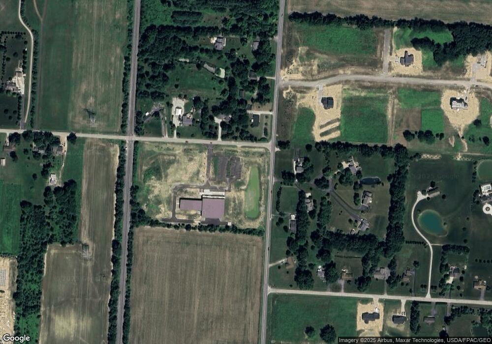
Map
Nearby Homes
- 2481 Clark Shaw Rd
- 2513 Clark Shaw Rd
- 5503 Fawnsbury Ct
- 5507 Fawnsbury Ct
- 5519 Fawnsbury Ct
- 5480 Fawnsbury Ct
- 5484 Fawnsbury Ct
- 5504 Fawnsbury Ct
- 5512 Fawnsbury Ct
- 5429 Valleydale Rd
- 5516 Fawnsbury Ct
- 5421 Valleydale Rd
- 5502 Dutch Ln
- 5474 Dutch Ln
- 5470 Dutch Ln
- 5614 Dutch Ln
- 5618 Dutch Ln
- 5622 Dutch Ln
- 5626 Dutch Ln
- 5623 Valleydale Rd
- 2291 Clark Shaw Rd
- 2270 Clark Shaw Rd
- 5222 Liberty Rd
- 5311 Liberty Rd N
- 5361 Liberty Rd N
- 2320 Clark Shaw Rd
- 5329 Liberty Rd N
- 5401 Liberty Rd N
- 2360 Clark Shaw Rd
- 2360 Clark-Shaw Rd
- 5198 Liberty Rd
- 0 Hardin Ln Unit 2034935
- 0 Hardin Ln Unit 77876
- 0 Hardin Ln Unit 73905
- 0 Hardin Ln Unit 9924131
- 0 Hardin Ln Unit 9827111
- 0 Hardin Ln Unit 9924130
- 0 Hardin Ln Unit 9825549
- 0 Hardin Ln Unit 9704473
- 0 Hardin Ln Unit Tract 5 222035893