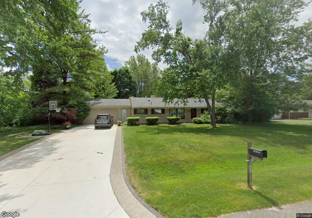
5303 W Briarcliff Knoll Dr Unit Bldg-Unit West Bloomfield, MI 48322
Estimated Value: $294,000 - $327,429
3
Beds
2
Baths
1,503
Sq Ft
$210/Sq Ft
Est. Value
About This Home
This home is located at 5303 W Briarcliff Knoll Dr Unit Bldg-Unit, West Bloomfield, MI 48322 and is currently estimated at $315,857, approximately $210 per square foot. 5303 W Briarcliff Knoll Dr Unit Bldg-Unit is a home located in Oakland County with nearby schools including Wood Creek Elementary School, Warner Upper Elementary School, and Bloomfield Maples Montessori.
Ownership History
Date
Name
Owned For
Owner Type
Purchase Details
Closed on
Jan 5, 2018
Sold by
Troske Thomas M
Bought by
Hayes Maria C
Current Estimated Value
Create a Home Valuation Report for This Property
The Home Valuation Report is an in-depth analysis detailing your home's value as well as a comparison with similar homes in the area
Home Values in the Area
Average Home Value in this Area
Purchase History
| Date | Buyer | Sale Price | Title Company |
|---|---|---|---|
| Hayes Maria C | $180,000 | None Available |
Source: Public Records
Tax History Compared to Growth
Tax History
| Year | Tax Paid | Tax Assessment Tax Assessment Total Assessment is a certain percentage of the fair market value that is determined by local assessors to be the total taxable value of land and additions on the property. | Land | Improvement |
|---|---|---|---|---|
| 2024 | $2,426 | $136,510 | $0 | $0 |
| 2022 | $2,332 | $119,120 | $50,000 | $69,120 |
| 2021 | $4,790 | $105,820 | $0 | $0 |
| 2020 | $2,191 | $103,780 | $42,550 | $61,230 |
| 2018 | $2,704 | $91,400 | $28,050 | $63,350 |
| 2015 | -- | $69,480 | $0 | $0 |
| 2014 | -- | $65,240 | $0 | $0 |
| 2011 | -- | $57,970 | $0 | $0 |
Source: Public Records
Map
Nearby Homes
- 5312 Cambourne Place
- 7209 Stonebrook Rd
- 7477 Gramercy Cir Unit 17
- 7479 Gramercy Cir Unit 16
- 7507 Gramercy Cir
- 7251 N Briarcliff Knoll Dr
- 7496 Cornwall Ct
- 29020 Ramblewood Dr
- 7250 Ten Hill
- 28786 Rockledge Dr
- 7335 Coach Ln
- 30070 Lochmoor St
- 7023 Wild Ridge Ln
- 32411 Tareyton St
- 32615 Briarcrest Knoll
- 6564 Alderley Way
- 6545 Post Oak Dr
- 30515 W 14 Mile Rd Unit 30
- 30515 W 14 Mile Rd Unit 37
- 30475 W 14 Mile Rd Unit 80
- 5303 W Briarcliff Knoll Dr
- 5315 W Briarcliff Knoll Dr
- 5321 W Briarcliff Knoll Dr
- 5321 W Briarcliff
- 5304 W Briarcliff Knoll Dr
- 7275 S Tratham Ct
- 7212 Stonebrook Rd
- 7188 Stonebrook Rd
- 7281 S Tratham Ct
- 7261 S Tratham Ct
- 7230 Stonebrook Rd
- 5324 W Briarcliff Knoll Dr
- 7164 Stonebrook Rd
- 5333 W Briarcliff Knoll D
- 7289 S Tratham Ct
- 7252 Stonebrook Rd
- 5311 Cambourne Place Unit Bldg-Unit
- 7138 Stonebrook Rd
- 5318 Cambourne Place
- 5336 W Briarcliff Knoll Dr