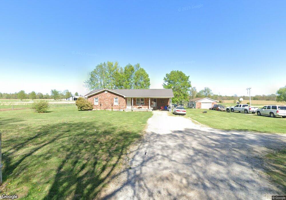
5304 Millerstown Rd Clarkson, KY 42726
Estimated Value: $115,804 - $326,000
--
Bed
--
Bath
--
Sq Ft
0.98
Acres
About This Home
This home is located at 5304 Millerstown Rd, Clarkson, KY 42726 and is currently estimated at $216,935. 5304 Millerstown Rd is a home with nearby schools including Grayson County High School.
Ownership History
Date
Name
Owned For
Owner Type
Purchase Details
Closed on
Jul 8, 2025
Sold by
Lush Carrie Lynn and Lush Ricky Lynn
Bought by
Lush Ricky Ray and Lush Christa R
Current Estimated Value
Home Financials for this Owner
Home Financials are based on the most recent Mortgage that was taken out on this home.
Original Mortgage
$95,007
Outstanding Balance
$94,636
Interest Rate
6.89%
Mortgage Type
Credit Line Revolving
Estimated Equity
$122,299
Purchase Details
Closed on
May 1, 1990
Bought by
Lush Gearline
Create a Home Valuation Report for This Property
The Home Valuation Report is an in-depth analysis detailing your home's value as well as a comparison with similar homes in the area
Home Values in the Area
Average Home Value in this Area
Purchase History
| Date | Buyer | Sale Price | Title Company |
|---|---|---|---|
| Lush Ricky Ray | $29,000 | None Listed On Document | |
| Lush Ricky Ray | $29,000 | None Listed On Document | |
| Lush Gearline | -- | -- |
Source: Public Records
Mortgage History
| Date | Status | Borrower | Loan Amount |
|---|---|---|---|
| Open | Lush Ricky Ray | $95,007 | |
| Closed | Lush Ricky Ray | $95,007 |
Source: Public Records
Tax History Compared to Growth
Tax History
| Year | Tax Paid | Tax Assessment Tax Assessment Total Assessment is a certain percentage of the fair market value that is determined by local assessors to be the total taxable value of land and additions on the property. | Land | Improvement |
|---|---|---|---|---|
| 2024 | $726 | $72,000 | $8,000 | $64,000 |
| 2023 | $745 | $72,000 | $8,000 | $64,000 |
| 2022 | $705 | $72,000 | $8,000 | $64,000 |
| 2021 | $710 | $72,000 | $8,000 | $64,000 |
| 2020 | $712 | $72,000 | $8,000 | $64,000 |
| 2019 | $711 | $72,000 | $8,000 | $64,000 |
| 2018 | $647 | $66,000 | $66,000 | $0 |
| 2017 | $646 | $66,000 | $66,000 | $0 |
| 2016 | $632 | $66,000 | $66,000 | $0 |
| 2015 | $559 | $66,000 | $66,000 | $0 |
| 2014 | $559 | $66,000 | $66,000 | $0 |
| 2013 | $542 | $66,000 | $0 | $0 |
Source: Public Records
Map
Nearby Homes
- 725 Summit Rd
- 7182 Millerstown Rd
- 2085 Summit Rd
- Lot 5 Summit Rd
- Lot 4 Summit Rd
- 1644 Little Clifty Rd
- 1915 Little Clifty Rd
- 0 Rock Creek Rd
- 1966 Millerstown Rd
- 8812 Millerstown Rd
- 5535 Spurrier Rd
- 375 Langley Dr
- 9720 Millerstown Rd
- 542 Big Clifty Rd
- 424 Big Clifty Rd
- 683 Alfie Powell Rd
- 1411 Grindstone Rd
- 200 Dewdrop Ct
- 268 Hickory Flats Rd
- 13600 Grayson Springs Rd Unit Lots 4&5
- 5344 Millerstown Rd
- 5404 Millerstown Rd
- 5247 Millerstown Rd
- 68 Omer Dr
- 5269 Millerstown Rd
- 5271 Millerstown Rd
- 5436 Millerstown Rd
- 5248 Millerstown Rd
- 5166 Millerstown Rd
- 5645 Millerstown Rd
- 5678 Millerstown Rd
- 4999 Millerstown Rd
- 5685 Millerstown Rd
- 4934 Millerstown Rd
- 139 Mount Moriah Church Rd
- 4889 Millerstown Rd
- 5721 Millerstown Rd
- 5562 Millerstown Rd
- 5751 Millerstown Rd
- 4831 Millerstown Rd