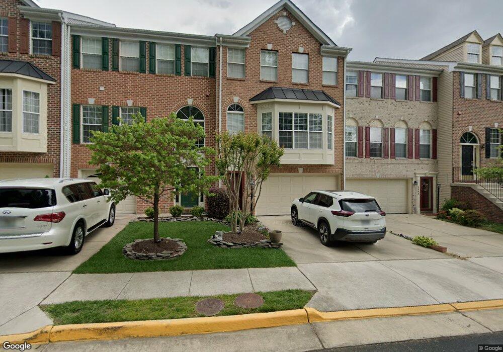
5304 Scottswood Ct Alexandria, VA 22315
Rose Hill NeighborhoodEstimated Value: $796,493 - $837,000
3
Beds
4
Baths
2,052
Sq Ft
$396/Sq Ft
Est. Value
About This Home
This home is located at 5304 Scottswood Ct, Alexandria, VA 22315 and is currently estimated at $813,123, approximately $396 per square foot. 5304 Scottswood Ct is a home located in Fairfax County with nearby schools including Lane Elementary School, Twain Middle School, and Edison High School.
Ownership History
Date
Name
Owned For
Owner Type
Purchase Details
Closed on
Oct 1, 1997
Sold by
Richmond American Homes Va Inc
Bought by
Hill Michael W
Current Estimated Value
Home Financials for this Owner
Home Financials are based on the most recent Mortgage that was taken out on this home.
Original Mortgage
$186,400
Outstanding Balance
$29,842
Interest Rate
7.41%
Mortgage Type
New Conventional
Estimated Equity
$783,281
Create a Home Valuation Report for This Property
The Home Valuation Report is an in-depth analysis detailing your home's value as well as a comparison with similar homes in the area
Home Values in the Area
Average Home Value in this Area
Purchase History
| Date | Buyer | Sale Price | Title Company |
|---|---|---|---|
| Hill Michael W | $233,000 | -- |
Source: Public Records
Mortgage History
| Date | Status | Borrower | Loan Amount |
|---|---|---|---|
| Open | Hill Michael W | $186,400 |
Source: Public Records
Tax History Compared to Growth
Tax History
| Year | Tax Paid | Tax Assessment Tax Assessment Total Assessment is a certain percentage of the fair market value that is determined by local assessors to be the total taxable value of land and additions on the property. | Land | Improvement |
|---|---|---|---|---|
| 2025 | $8,095 | $751,900 | $225,000 | $526,900 |
| 2024 | $8,095 | $698,790 | $225,000 | $473,790 |
| 2023 | $7,927 | $702,470 | $225,000 | $477,470 |
| 2022 | $7,722 | $675,310 | $205,000 | $470,310 |
| 2021 | $7,179 | $611,770 | $175,000 | $436,770 |
| 2020 | $6,990 | $590,640 | $175,000 | $415,640 |
| 2019 | $6,670 | $563,540 | $165,000 | $398,540 |
| 2018 | $6,412 | $557,590 | $163,000 | $394,590 |
| 2017 | $6,349 | $546,850 | $160,000 | $386,850 |
| 2016 | $6,335 | $546,850 | $160,000 | $386,850 |
| 2015 | $6,103 | $546,850 | $160,000 | $386,850 |
| 2014 | $6,089 | $546,850 | $160,000 | $386,850 |
Source: Public Records
Map
Nearby Homes
- 6607 Castle Bar Ct
- 6428 Warren Point Ct
- 6339 Dunman Way
- 5510 Jowett Ct
- 5241 Saint Genevieve Place
- 6485 Waterfield Rd
- 6547 Grange Ln Unit 104
- 6624 Telegraph Rd
- 7057 Kings Manor Dr
- 6631 Dunwich Way
- 6307 Cottonwood Dr
- 7039 Kings Manor Dr
- 7137 Lake Cove Dr
- 5606 Brookland Ct
- 6044 Masondale Rd
- 6100 Leewood Dr
- 6420 Willowood Ln
- 6408 Maryview St
- 6964 Ellingham Cir Unit 86
- 5321 Buxton Ct
- 5302 Scottswood Ct
- 5306 Scottswood Ct
- 5308 Scottswood Ct
- 5300 Scottswood Ct
- 5310 Scottswood Ct
- 5305 Sandyford St
- 5307 Sandyford St
- 5303 Sandyford St
- 5309 Sandyford St
- 5301 Sandyford St
- 5311 Sandyford St
- 6697 Scottswood St
- 6695 Scottswood St
- 6699 Scottswood St
- 6693 Scottswood St
- 6701 Scottswood St
- 6691 Scottswood St
- 6705 Scottswood St
- 5293 Sandyford St
- 6707 Scottswood St