S
Seller's Agent in 2025
Scyler Glass
Serenity Realty LLC
(419) 481-7304
2 in this area
24 Total Sales
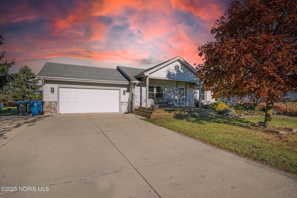
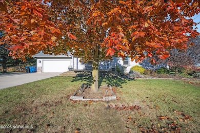
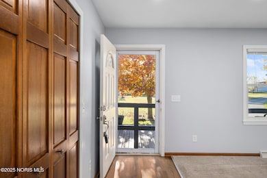
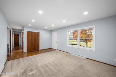
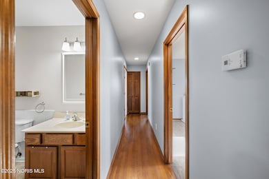
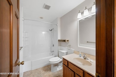
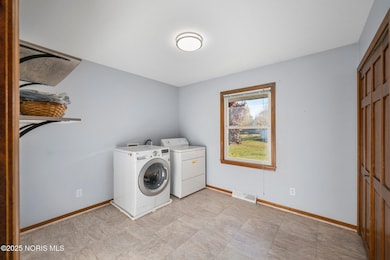
Check out this stunning 3-bedroom, 2 bath home nestled on 5 peaceful acres with a beautiful 1/3 acre pond! Featuring a fully remodeled master suite (2022) luxurious Cambria quartz countertops, main-level laundry, and a newer deck (2021) perfect for entertaining. Enjoy peace of mind with a waterproofed basement with a whole house generator and newer furnace. 200 amp service with 100 amp sub panel. 45 tons of fresh white sand and a recently filled 500 gallon propane tank makes this home truly turn-key living at its finest.
Last Agent to Sell the Property
Serenity Realty LLC Brokerage Phone: 419-481-7304 License #2022006800 Listed on: 11/07/2025

| Date | Type | Sale Price | Title Company |
|---|---|---|---|
| Warranty Deed | $385,000 | None Listed On Document | |
| Deed | -- | -- | |
| Survivorship Deed | $206,000 | None Available | |
| Warranty Deed | $125,500 | -- | |
| Warranty Deed | $29,000 | -- |
| Date | Status | Loan Amount | Loan Type |
|---|---|---|---|
| Open | $580,500 | Construction | |
| Previous Owner | $190,000 | No Value Available | |
| Previous Owner | -- | No Value Available | |
| Previous Owner | $188,000 | New Conventional |
| Date | Event | Price | List to Sale | Price per Sq Ft |
|---|---|---|---|---|
| 12/17/2025 12/17/25 | Sold | $385,000 | -1.3% | $215 / Sq Ft |
| 11/16/2025 11/16/25 | Pending | -- | -- | -- |
| 11/07/2025 11/07/25 | For Sale | $389,900 | -- | $218 / Sq Ft |
| Year | Tax Paid | Tax Assessment Tax Assessment Total Assessment is a certain percentage of the fair market value that is determined by local assessors to be the total taxable value of land and additions on the property. | Land | Improvement |
|---|---|---|---|---|
| 2025 | -- | $90,860 | $27,615 | $63,245 |
| 2024 | $2,141 | $90,860 | $27,615 | $63,245 |
| 2023 | $4,639 | $83,825 | $30,695 | $53,130 |
| 2022 | $4,675 | $83,825 | $30,695 | $53,130 |
| 2021 | $4,713 | $83,825 | $30,695 | $53,130 |
| 2020 | $4,364 | $68,985 | $25,130 | $43,855 |
| 2019 | $4,239 | $68,985 | $25,130 | $43,855 |
| 2018 | $4,000 | $68,985 | $25,130 | $43,855 |
| 2017 | $4,424 | $67,410 | $24,570 | $42,840 |
| 2016 | $3,807 | $192,600 | $70,200 | $122,400 |
| 2015 | $3,781 | $192,600 | $70,200 | $122,400 |
| 2014 | $3,526 | $66,080 | $24,080 | $42,000 |
| 2013 | $3,526 | $66,080 | $24,080 | $42,000 |
S
Seller's Agent in 2025
Scyler Glass
Serenity Realty LLC
(419) 481-7304
2 in this area
24 Total Sales
Seller Co-Listing Agent in 2025
Anthony Rorigi
Serenity Realty LLC
(419) 389-7208
14 in this area
243 Total Sales
Buyer's Agent in 2025
Jacob Wittmer
Howard Hanna
(419) 345-7288
1 in this area
87 Total Sales
Source: Northwest Ohio Real Estate Information Service (NORIS)
MLS Number: 10000343
APN: 44-03264
Disclaimer: Certain information contained herein is derived from information provided by parties other than Homes.com. All information provided is deemed reliable, but is not guaranteed to be accurate and should be independently verified.
![]() IDX information is provided exclusively for personal, non-commercial use, and may not be used for any purpose other than to identify prospective properties consumers may be interested in purchasing. Information is deemed reliable but not guaranteed. ©2026 NORIS. All rights reserved.
IDX information is provided exclusively for personal, non-commercial use, and may not be used for any purpose other than to identify prospective properties consumers may be interested in purchasing. Information is deemed reliable but not guaranteed. ©2026 NORIS. All rights reserved.
Ask me questions while you tour the home.