5305 Higher Ground Trail Jeffersonton, VA 22724
Estimated Value: $455,000
1
Bed
3
Baths
2,100
Sq Ft
$217/Sq Ft
Est. Value
About This Home
This home is located at 5305 Higher Ground Trail, Jeffersonton, VA 22724 and is currently priced at $455,000, approximately $216 per square foot. 5305 Higher Ground Trail is a home located in Culpeper County with nearby schools including Emerald Hill Elementary School, Culpeper Middle School, and Culpeper County High School.
Ownership History
Date
Name
Owned For
Owner Type
Purchase Details
Closed on
Sep 7, 2016
Sold by
Turner Zachary M
Bought by
Higher Ground Farm Llc A Virginia Limite
Current Estimated Value
Purchase Details
Closed on
Apr 15, 2016
Sold by
Higher Ground Farm Llc A Virginia Limite
Bought by
Jurner Zahcary M
Purchase Details
Closed on
Mar 10, 2015
Sold by
Turner Richard C
Bought by
Higher Ground Farm Llc
Home Financials for this Owner
Home Financials are based on the most recent Mortgage that was taken out on this home.
Original Mortgage
$350,000
Interest Rate
3.67%
Mortgage Type
Construction
Create a Home Valuation Report for This Property
The Home Valuation Report is an in-depth analysis detailing your home's value as well as a comparison with similar homes in the area
Home Values in the Area
Average Home Value in this Area
Purchase History
| Date | Buyer | Sale Price | Title Company |
|---|---|---|---|
| Higher Ground Farm Llc A Virginia Limite | -- | None Available | |
| Jurner Zahcary M | -- | None Available | |
| Higher Ground Farm Llc | $305,223 | -- |
Source: Public Records
Mortgage History
| Date | Status | Borrower | Loan Amount |
|---|---|---|---|
| Previous Owner | Higher Ground Farm Llc | $350,000 |
Source: Public Records
Tax History Compared to Growth
Tax History
| Year | Tax Paid | Tax Assessment Tax Assessment Total Assessment is a certain percentage of the fair market value that is determined by local assessors to be the total taxable value of land and additions on the property. | Land | Improvement |
|---|---|---|---|---|
| 2024 | $5,303 | $1,164,900 | $244,700 | $920,200 |
| 2023 | $5,359 | $1,164,900 | $244,700 | $920,200 |
| 2022 | $5,114 | $929,800 | $193,400 | $736,400 |
| 2021 | $5,308 | $965,000 | $193,400 | $771,600 |
| 2020 | $4,578 | $738,400 | $166,400 | $572,000 |
| 2019 | $3,877 | $625,400 | $166,400 | $459,000 |
| 2018 | $3,927 | $586,100 | $152,100 | $434,000 |
| 2017 | $3,927 | $586,100 | $152,100 | $434,000 |
| 2016 | $3,843 | $526,400 | $128,400 | $398,000 |
| 2015 | $3,843 | $526,400 | $128,400 | $398,000 |
| 2014 | $4,238 | $1,414,100 | $1,007,400 | $406,700 |
Source: Public Records
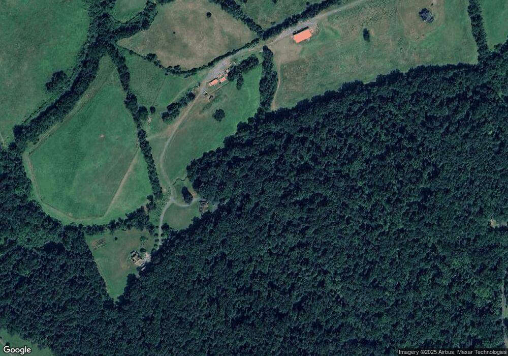
Map
Nearby Homes
- 18442 Gleneagle Dr
- 18299 Ragtop Rd
- 5051 Ridgeview Ct
- 18151 Jennifer Way
- Parcel 1 (tax id 7-4 Ellett Ln
- Parcel 4 (tax id 7-4 Ellett Ln
- 18149 Telford Dr
- 2053 Whithorn Hill
- 2093 Whithorn Hill
- 2060 Armstrong Terrace
- 7039 Silk Rd
- 5442 Ellett Ln
- 18607 Springs Rd
- 6471 Silk Rd
- 18611 Springs Rd
- 19196 Ferguson Ln
- 2558 Northumberland Dr Unit AZALEA LOT 2295
- Azalea Plan at Stonehaven - Estate Collection
- Powell Plan at Stonehaven - Estate Collection
- Concord Plan at Stonehaven - Estate Collection
- 18045 Mosley Ln
- 18050 Mosley Ln
- 5404 Scottsville Rd
- 5376 Scottsville Rd
- 5423 Scottsville Rd
- 5395 Scottsville Rd
- 5385 Scottsville Rd
- 5340 Scottsville Rd
- 5367 Scottsville Rd
- 5330 Scottsville Rd
- 5309 Countryside Cir
- 18094 Brightwood Ln
- 5457 Scottsville Rd
- 5413 Scottsville Rd
- 5476 Scottsville Rd
- 5447 Scottsville Rd
- 5345 Scottsville Rd
- 5320 Scottsville Rd
- 5249 Countryside Cir
- 5329 Countryside Cir