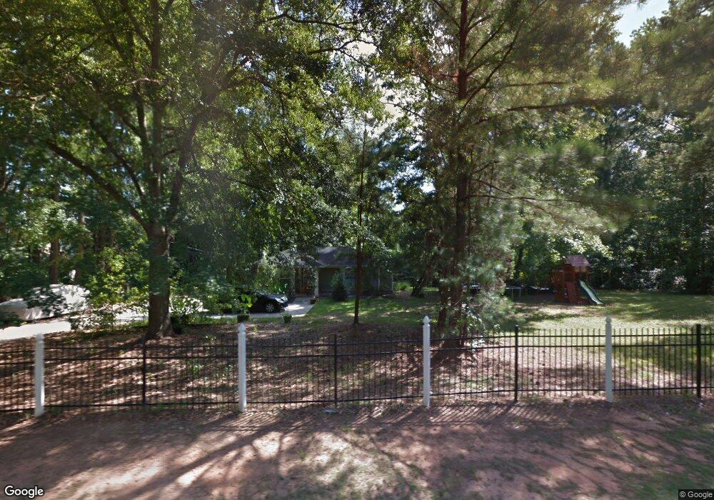
5305 Highpoint Rd Union City, GA 30291
Estimated Value: $156,000 - $247,000
3
Beds
1
Bath
1,091
Sq Ft
$191/Sq Ft
Est. Value
About This Home
This home is located at 5305 Highpoint Rd, Union City, GA 30291 and is currently estimated at $208,553, approximately $191 per square foot. 5305 Highpoint Rd is a home located in Fulton County with nearby schools including Liberty Point Elementary School, Camp Creek Middle School, and Langston Hughes High School.
Ownership History
Date
Name
Owned For
Owner Type
Purchase Details
Closed on
Jul 1, 2009
Sold by
Argent Trust 2005-W1
Bought by
Santander Cirilo
Current Estimated Value
Purchase Details
Closed on
Aug 5, 2008
Sold by
Waugh Shirley
Bought by
Argent Trust Series 2005-W1
Purchase Details
Closed on
Feb 16, 2005
Sold by
Arrow Contracting Co
Bought by
Waugh Shirley
Home Financials for this Owner
Home Financials are based on the most recent Mortgage that was taken out on this home.
Original Mortgage
$100,000
Interest Rate
6.05%
Mortgage Type
New Conventional
Create a Home Valuation Report for This Property
The Home Valuation Report is an in-depth analysis detailing your home's value as well as a comparison with similar homes in the area
Home Values in the Area
Average Home Value in this Area
Purchase History
| Date | Buyer | Sale Price | Title Company |
|---|---|---|---|
| Santander Cirilo | $23,900 | -- | |
| Argent Trust Series 2005-W1 | $39,900 | -- | |
| Waugh Shirley | $125,000 | -- |
Source: Public Records
Mortgage History
| Date | Status | Borrower | Loan Amount |
|---|---|---|---|
| Previous Owner | Waugh Shirley | $100,000 |
Source: Public Records
Tax History Compared to Growth
Tax History
| Year | Tax Paid | Tax Assessment Tax Assessment Total Assessment is a certain percentage of the fair market value that is determined by local assessors to be the total taxable value of land and additions on the property. | Land | Improvement |
|---|---|---|---|---|
| 2025 | $1,267 | $63,400 | $16,000 | $47,400 |
| 2024 | $1,267 | $84,680 | $18,960 | $65,720 |
| 2023 | $1,267 | $44,880 | $14,400 | $30,480 |
| 2022 | $818 | $31,080 | $9,320 | $21,760 |
| 2021 | $634 | $23,360 | $5,800 | $17,560 |
| 2020 | $641 | $23,080 | $5,720 | $17,360 |
| 2019 | $728 | $17,240 | $4,080 | $13,160 |
| 2018 | $384 | $13,600 | $2,240 | $11,360 |
| 2017 | $397 | $13,600 | $2,240 | $11,360 |
| 2016 | $465 | $15,920 | $3,600 | $12,320 |
| 2015 | $716 | $15,920 | $3,600 | $12,320 |
| 2014 | $291 | $9,480 | $1,440 | $8,040 |
Source: Public Records
Map
Nearby Homes
- 0 Highpoint Rd Unit 10553938
- 000 Highpoint Rd
- 99 Highpoint Rd
- 6320 Littleton Dr
- 0 Lakeside Dr Unit 22475152
- 0 Lakeside Dr Unit 7515650
- 3227 Diamond Bluff
- 6030 Stonewall Dr
- 5947 Rock Rd
- 5135 Hilltop Dr
- 6000 Diamond Ln
- 6024 Diamond Ln
- 3426 Newgold Trace
- 5910 Rock Rd
- 5856 Rock Rd
- 0 Lower Dixie Lake Rd Unit 22475153
- 0 Lower Dixie Lake Rd Unit 7515143
- 5552 Lakeside Dr
- 9515 Lakeview Rd
- 4497 Ravenwood Dr
- 8210 Eastshore Dr
- 8212 Eastshore Dr
- 8214 Eastshore Dr Unit 1
- 8321 Lake Pointe Way
- 8216 Lakepointe Way
- 8323 Lake Pointe Way Unit I
- 6238 Highpoint Rd
- 8325 Lake Pointe Way
- 5300 Highpoint Rd
- 0 Highpoint Rd Unit 8082510
- 0000 High Point Rd
- 8327 Lake Pointe Way
- 6252 Highpoint Rd
- 8101 Valley Ridge Dr Unit 1
- 6110 Littleton Dr
- 5505 Rock Rd
- 5511 Rock Rd
- 6120 Littleton Dr Unit 1
- 6087 Littleton Dr
- 6130 Littleton Dr