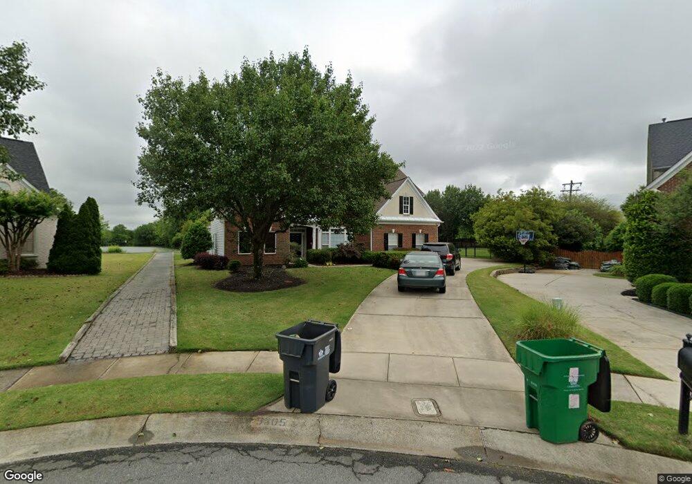
5305 Sir Lionel Ct Charlotte, NC 28277
Ballantyne NeighborhoodEstimated Value: $837,000 - $930,000
4
Beds
4
Baths
3,400
Sq Ft
$260/Sq Ft
Est. Value
About This Home
This home is located at 5305 Sir Lionel Ct, Charlotte, NC 28277 and is currently estimated at $884,425, approximately $260 per square foot. 5305 Sir Lionel Ct is a home located in Mecklenburg County with nearby schools including Polo Ridge Elementary, Jay M Robinson Middle School, and St. Matthew Catholic School.
Ownership History
Date
Name
Owned For
Owner Type
Purchase Details
Closed on
Dec 29, 2000
Sold by
Pulte Home Corp
Bought by
Edmunds P Davis and Edmunds Carolyn A
Current Estimated Value
Home Financials for this Owner
Home Financials are based on the most recent Mortgage that was taken out on this home.
Original Mortgage
$209,650
Outstanding Balance
$78,363
Interest Rate
7.72%
Mortgage Type
Purchase Money Mortgage
Estimated Equity
$806,062
Create a Home Valuation Report for This Property
The Home Valuation Report is an in-depth analysis detailing your home's value as well as a comparison with similar homes in the area
Home Values in the Area
Average Home Value in this Area
Purchase History
| Date | Buyer | Sale Price | Title Company |
|---|---|---|---|
| Edmunds P Davis | $300,000 | -- |
Source: Public Records
Mortgage History
| Date | Status | Borrower | Loan Amount |
|---|---|---|---|
| Open | Edmunds P Davis | $209,650 |
Source: Public Records
Tax History Compared to Growth
Tax History
| Year | Tax Paid | Tax Assessment Tax Assessment Total Assessment is a certain percentage of the fair market value that is determined by local assessors to be the total taxable value of land and additions on the property. | Land | Improvement |
|---|---|---|---|---|
| 2025 | $5,337 | $684,600 | $130,000 | $554,600 |
| 2024 | $5,337 | $684,600 | $130,000 | $554,600 |
| 2023 | $5,161 | $684,600 | $130,000 | $554,600 |
| 2022 | $4,681 | $472,100 | $115,000 | $357,100 |
| 2021 | $4,670 | $472,100 | $115,000 | $357,100 |
| 2020 | $4,663 | $472,100 | $115,000 | $357,100 |
| 2019 | $4,647 | $472,100 | $115,000 | $357,100 |
| 2018 | $4,638 | $347,900 | $75,000 | $272,900 |
| 2017 | $4,566 | $347,900 | $75,000 | $272,900 |
| 2016 | $4,557 | $347,900 | $75,000 | $272,900 |
| 2015 | $4,545 | $347,900 | $75,000 | $272,900 |
| 2014 | $4,530 | $347,900 | $75,000 | $272,900 |
Source: Public Records
Map
Nearby Homes
- 11311 Blue Blossom Rd
- 10928 Knight Castle Dr
- 4737 Armorcrest Ln
- 12214 Provincetowne Dr
- 7803 Noland Woods Dr
- 10715 Tom Short Rd
- 5924 Cactus Valley Rd
- 5917 Cactus Valley Rd
- 7721 Raynor Rd
- 7819 Noland Woods Dr
- 8709 Barrelli Ct
- 7159 Moss Point Dr
- 7031 Walton Heath Ln
- 6932 Curlee Ct
- 11823 Sir Francis Drake Dr
- 7213 Baniff Cir
- 10418 Pullengreen Dr
- 10428 Pullengreen Dr
- 7633 Rathburn Ln
- 11728 Sir Francis Drake Dr
- 5309 Sir Lionel Ct
- 5302 Sir Lionel Ct
- 6857 Guinevere Dr
- 5315 Sir Lionel Ct
- 5306 Sir Lionel Ct
- 5312 Sir Lionel Ct
- 5318 Sir Lionel Ct
- 6852 Guinevere Dr
- 10111 Alvarado Way
- 6858 Guinevere Dr
- 11032 Round Rock Rd
- 10115 Alvarado Way
- 6833 Guinevere Dr
- 10107 Alvarado Way
- 5337 King Arthur Dr
- 6846 Guinevere Dr
- 11036 Round Rock Rd
- 10119 Alvarado Way
- 10123 Alvarado Way
- 6840 Guinevere Dr