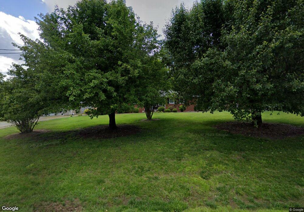
5306 Adrian Rd Jamestown, NC 27282
Estimated Value: $260,000 - $339,000
3
Beds
2
Baths
1,549
Sq Ft
$182/Sq Ft
Est. Value
About This Home
This home is located at 5306 Adrian Rd, Jamestown, NC 27282 and is currently estimated at $282,305, approximately $182 per square foot. 5306 Adrian Rd is a home located in Guilford County with nearby schools including Jamestown Elementary School, Jamestown Middle School, and Ragsdale High School.
Ownership History
Date
Name
Owned For
Owner Type
Purchase Details
Closed on
Dec 14, 1998
Sold by
Hud
Bought by
Hunnicutt Timothy R and Hunnicutt Julie M
Current Estimated Value
Home Financials for this Owner
Home Financials are based on the most recent Mortgage that was taken out on this home.
Original Mortgage
$94,800
Outstanding Balance
$21,757
Interest Rate
6.9%
Mortgage Type
FHA
Estimated Equity
$260,548
Purchase Details
Closed on
May 13, 1998
Sold by
Kirkman William D and Kirkman Debra A
Bought by
Hud
Create a Home Valuation Report for This Property
The Home Valuation Report is an in-depth analysis detailing your home's value as well as a comparison with similar homes in the area
Home Values in the Area
Average Home Value in this Area
Purchase History
| Date | Buyer | Sale Price | Title Company |
|---|---|---|---|
| Hunnicutt Timothy R | -- | Investors Title Insurance Co | |
| Hud | $78,760 | -- |
Source: Public Records
Mortgage History
| Date | Status | Borrower | Loan Amount |
|---|---|---|---|
| Open | Hunnicutt Timothy R | $94,800 | |
| Closed | Hunnicutt Timothy R | $3,500 |
Source: Public Records
Tax History Compared to Growth
Tax History
| Year | Tax Paid | Tax Assessment Tax Assessment Total Assessment is a certain percentage of the fair market value that is determined by local assessors to be the total taxable value of land and additions on the property. | Land | Improvement |
|---|---|---|---|---|
| 2025 | $1,348 | $155,400 | $30,600 | $124,800 |
| 2024 | $1,348 | $155,400 | $30,600 | $124,800 |
| 2023 | $1,348 | $155,400 | $30,600 | $124,800 |
| 2022 | $1,348 | $155,400 | $30,600 | $124,800 |
| 2021 | $1,085 | $125,000 | $28,600 | $96,400 |
| 2020 | $1,085 | $125,000 | $28,600 | $96,400 |
| 2019 | $1,063 | $125,000 | $0 | $0 |
| 2018 | $1,058 | $125,000 | $0 | $0 |
| 2017 | $1,058 | $125,000 | $0 | $0 |
| 2016 | $999 | $115,700 | $0 | $0 |
| 2015 | $1,004 | $115,700 | $0 | $0 |
| 2014 | $1,016 | $115,700 | $0 | $0 |
Source: Public Records
Map
Nearby Homes
- 1200 Bales Chapel Rd
- 4025 Sherry Ct
- 4019 Sherry Ct
- 841 Sage Hill Dr
- 856 Sage Hill Dr
- 1403 Aurora Way
- 3901 Valencia Ct
- 944 Chatfield Dr
- 3910 Sudley Point
- 3903 Sudley Point
- 1110 New Hampshire Dr
- 3310 Colony Dr
- 4040 Banbridge Dr
- 1131 Edinburgh Dr
- 3438 Dillon Rd
- 3203 Colony Dr
- 911 New Hampshire Dr
- 306 Misty Waters Ln
- 219 Brookview Cir
- 215 Channel Cove Ct
- 5305 Adrian Rd
- 5300 Adrian Rd
- 5303 Adrian Rd
- 5314 Adrian Rd
- 5311 Adrian Rd
- 5320 Whites Rd
- 1108 Bales Chapel Rd
- 1112 Bales Chapel Rd
- 5313 Adrian Rd
- 1102 Bales Chapel Rd
- 5316 Adrian Rd
- 5323 Adrian Rd
- 5306 Whites Rd
- 1016 Bales Chapel Rd
- 5044 Harvey Rd Unit R2
- 5044 Harvey Rd
- 5306 Lenard Rd
- 4027 Sherry Ct
- 4021 Sherry Ct
- 1111 Bales Chapel Rd
