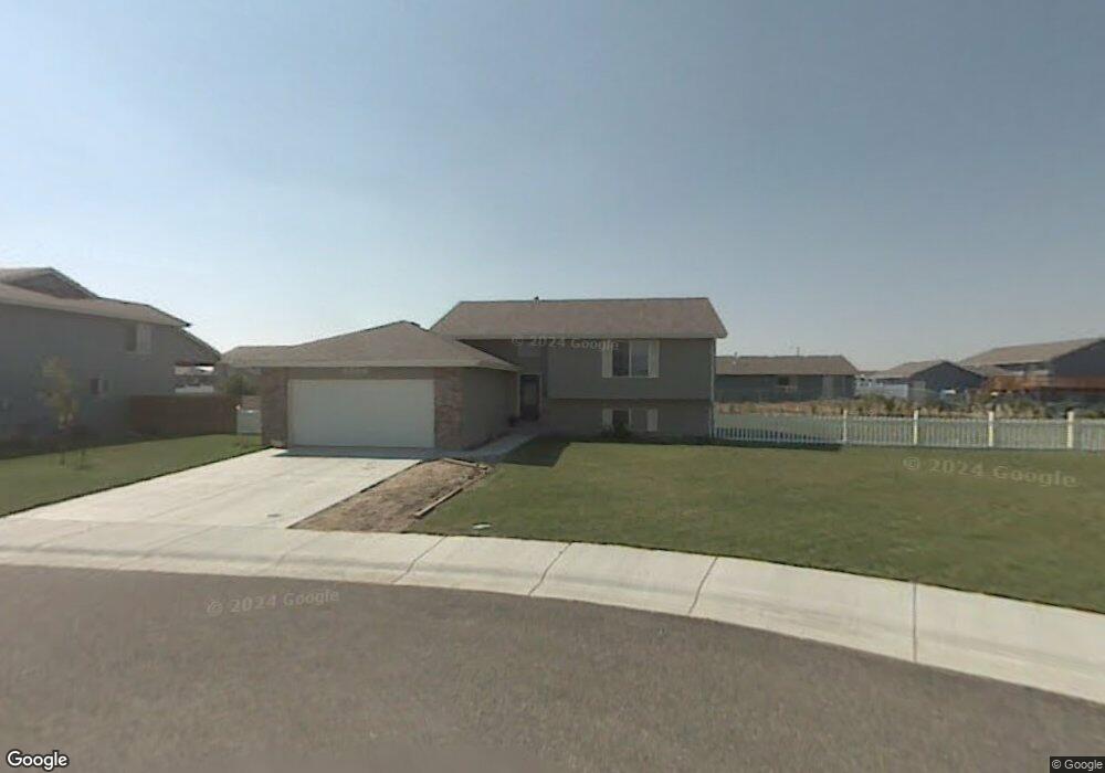
5306 Comanche Cir Bar Nunn, WY 82601
Estimated Value: $338,000 - $380,412
4
Beds
3
Baths
1,996
Sq Ft
$183/Sq Ft
Est. Value
About This Home
This home is located at 5306 Comanche Cir, Bar Nunn, WY 82601 and is currently estimated at $365,471, approximately $183 per square foot. 5306 Comanche Cir is a home located in Natrona County.
Ownership History
Date
Name
Owned For
Owner Type
Purchase Details
Closed on
Sep 15, 2023
Sold by
Sutphin Jesse V and Sutphin Rebecca A
Bought by
Sullivan Kimberly and Sullivan Thomas
Current Estimated Value
Home Financials for this Owner
Home Financials are based on the most recent Mortgage that was taken out on this home.
Original Mortgage
$206,900
Outstanding Balance
$202,462
Interest Rate
6.9%
Mortgage Type
New Conventional
Estimated Equity
$163,009
Purchase Details
Closed on
Oct 21, 2013
Sold by
Kevin Stephen Imogene H and Kevin Sufphin
Bought by
Sfohrin Jesse V
Create a Home Valuation Report for This Property
The Home Valuation Report is an in-depth analysis detailing your home's value as well as a comparison with similar homes in the area
Home Values in the Area
Average Home Value in this Area
Purchase History
| Date | Buyer | Sale Price | Title Company |
|---|---|---|---|
| Sullivan Kimberly | -- | American Title Agency | |
| Sfohrin Jesse V | -- | -- |
Source: Public Records
Mortgage History
| Date | Status | Borrower | Loan Amount |
|---|---|---|---|
| Open | Sullivan Kimberly | $206,900 |
Source: Public Records
Tax History Compared to Growth
Tax History
| Year | Tax Paid | Tax Assessment Tax Assessment Total Assessment is a certain percentage of the fair market value that is determined by local assessors to be the total taxable value of land and additions on the property. | Land | Improvement |
|---|---|---|---|---|
| 2025 | $2,075 | $25,999 | $6,687 | $19,312 |
| 2024 | $2,736 | $34,279 | $12,537 | $21,742 |
| 2023 | $2,561 | $31,659 | $10,267 | $21,392 |
| 2022 | $1,969 | $24,340 | $6,575 | $17,765 |
| 2021 | $1,830 | $22,627 | $6,052 | $16,575 |
| 2020 | $1,808 | $22,348 | $5,867 | $16,481 |
| 2019 | $2,054 | $25,397 | $9,006 | $16,391 |
| 2018 | $2,060 | $25,466 | $10,357 | $15,109 |
| 2017 | $2,059 | $25,452 | $10,357 | $15,095 |
| 2015 | $2,041 | $25,230 | $10,357 | $14,873 |
| 2014 | -- | $25,182 | $10,357 | $14,825 |
Source: Public Records
Map
Nearby Homes
- 5125 Bel Vista Dr
- 5055 Antelope Dr
- 5145 Bel Vista Dr
- 2300 Goosewing St
- 5725 Tonkawa Trail
- 1730 Kalina Trail
- 000 Sunset Blvd
- 1821 Palomino Ave
- 0000 Palomino Ave
- 0 Harford Airfield Rd
- 001 Harford Airfield Rd
- 01 Harford Airfield Rd
- 00 Harford Airfield Rd
- 2590 Salt Creek Hwy
- 0 Amoco & Poplar Unit 20245360
- Track 471 Bb Brooks
- 0 Tract #5 McMurry Blvd
- Track 46 Bb Brooks
- 0 Tract 264 Desperado Dr Unit 20255458
- 0 Salt Creek Hwy
- 5306 Comanche Cir Unit McMurry Blvd
- 5310 Comanche Cir Unit McMurry Blvd
- 5309 Antelope Dr
- 5302 Comanche Cir
- 5313 Antelope Dr
- 2317 Mandan Trail
- 5301 Antelope Dr
- 2311 Mandan Trail
- 2311 Mandan Trail Unit Antelope
- 5309 Comanche Cir
- 2323 Mandan Trail
- 2229 Mandan
- 2229 Mandan Trail
- 5305 Comanche Cir
- 5301 Comanche Cir
- 2223 Mandan Trail
- 5310 Antelope Dr
- 5306 Antelope Dr
- 5314 Antelope Dr
- 5318 Antelope Dr